Burdell Township near Tustin in Osceola County, Michigan — The American Midwest (Great Lakes)
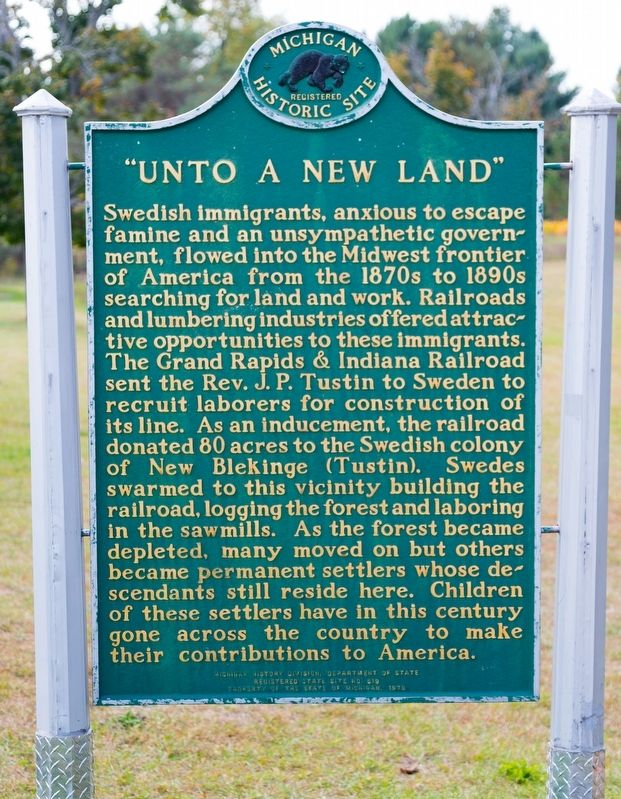
“Unto a New Land”
Erected 1979 by Michigan History Division, Department of State. (Marker Number 519.)
Topics. This historical marker is listed in this topic list: Settlements & Settlers.
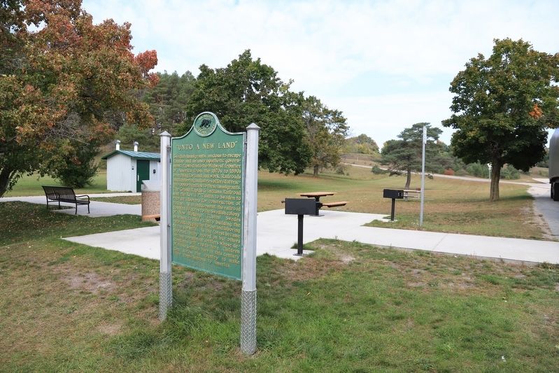
Location. 44° 7.338′ N, 85° 28.269′ W. Marker is near Tustin, Michigan, in Osceola County. It is in Burdell Township. Marker is at the intersection of U.S. 131 and Southbound Tustin Rest Area, on the right when traveling south on U.S. 131. Touch for map. Marker is at or near this postal address: US-131, Tustin MI 49688, United States of America. Touch for directions.
Other nearby markers. At least 8 other markers are within 10 miles of this marker, measured as the crow flies. Thomas R. Wiseman (about 800 feet away, measured in a direct line); Swedish Evangelical Lutheran Church (approx. 1.6 miles away); John Emil Larson Farm (approx. 1.7 miles away); Clam Lake Canal (approx. 8.2 miles away); Cobbs and Mitchell Mill No. 1 (approx. 9.2 miles away); KISS (approx. 9.3 miles away); Amvets Post 110 Veterans Memorial (approx. 9.4 miles away); T. Walter Kelly (approx. 9.4 miles away). Touch for a list and map of all markers in Tustin.
Also see . . . The Swedish Settlement of Tustin, Michigan. 1962 article by Nils William Olsson in the Swedish-American Historical Quarterly published by North Park University in Chicago. It begins:
In the midst of the beautiful lake country of western Michigan lies Tustin, a small community with a strong Swedish past. Most travelers along the route between Reed City and Cadillac pass within a half mile of Tustin, probably without knowing that this little town harbors a great deal of early immigration history, a history which goes back nine decades to the time when western Michigan was beginning to emerge from a virtually untouched wilderness into a progressive industrial and agricultural community.(Submitted on October 30, 2023.)
Credits. This page was last revised on October 30, 2023. It was originally submitted on October 30, 2023, by J. J. Prats of Powell, Ohio. This page has been viewed 73 times since then and 22 times this year. Photos: 1, 2. submitted on October 30, 2023, by J. J. Prats of Powell, Ohio.

