Osceola Township near Evart in Osceola County, Michigan — The American Midwest (Great Lakes)
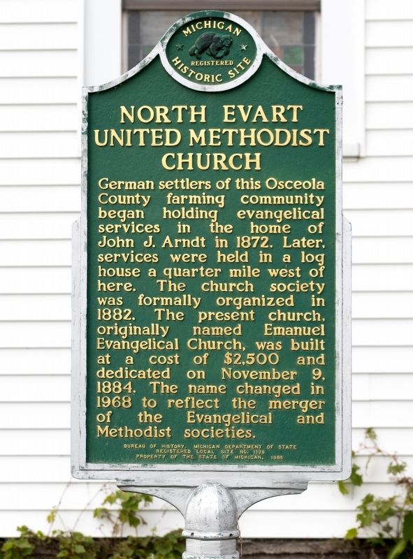
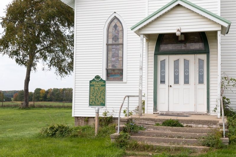
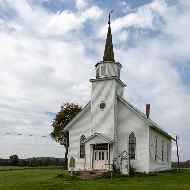
North Evart United Methodist Church
Erected 1986 by Bureau of History, Michigan Department of State. (Marker Number 1179.)
Topics and series. This historical marker is listed in this topic list: Churches & Religion. In addition, it is included in the Michigan Historical Commission series list. A significant historical date for this entry is November 9, 1884.
Location. 43° 56.62′ N, 85° 16.03′ W. Marker is near Evart, Michigan, in Osceola County. It is in Osceola Township. Marker is at the intersection of 90th Avenue and Penasha Road (9 Mile Road), on the right when traveling south on 90th Avenue. Touch for map. Marker is at or near this postal address: 8985 90th Ave, Evart MI 49631, United States of America. Touch for directions.
Other nearby markers. At least 8 other markers are within 16 miles of this marker, measured as the crow flies. Korea (approx. 2.8 miles away); In Memory of Those Who Gave Their Lives for Their Country (approx. 2.8 miles away); Joseph W. Guyton (approx. 2.8 miles away); Founding of Marion / Marion Mill Pond and Dam (approx. 12˝ miles away); Swedish Evangelical Lutheran Church (approx. 14.4 miles away); John Emil Larson Farm (approx. 14.4 miles away); Barryton / Frank Barry (approx. 14.6 miles away); “Unto a New Land” (approx. 16 miles away). Touch for a list and map of all markers in Evart.
Credits. This page was last revised on October 30, 2023. It was originally submitted on October 30, 2023, by J. J. Prats of Powell, Ohio. This page has been viewed 62 times since then and 12 times this year. Photos: 1, 2, 3. submitted on October 30, 2023, by J. J. Prats of Powell, Ohio.


