Fresno in Fresno County, California — The American West (Pacific Coastal)
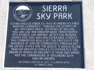
Sierra Sky Park
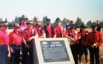
Erected 1996 by Jim Savage Chapter 1852, E Clampus Vitus.
Topics and series. This historical marker is listed in this topic list: Air & Space. In addition, it is included in the E Clampus Vitus series list. A significant historical date for this entry is October 23, 1946.
Location. 36° 50.357′ N, 119° 52.169′ W. Marker is in Fresno, California, in Fresno County. Marker is on North Doolittle Drive, 0.1 miles north of West Spaatz Avenue, on the right when traveling south. North Doolittle and West Spaatz are both streets fully contained within the boundaries of Sierra Sky Park. The marker is below the berm landing strip along Doolittle Drive. Touch for map. Marker is in this post office area: Fresno CA 93722, United States of America. Touch for directions.
Other nearby markers. At least 8 other markers are within 8 miles of this marker, measured as the crow flies. Forestiere Underground Gardens (approx. 2.3 miles away); William Saroyan House Museum (approx. 3.7 miles away); Christmas Tree Lane (approx. 4.1 miles away); Korea "The Forgotten War" (approx. 6.6 miles away); French Merci Train Boxcar (approx. 6.6 miles away); French Merci Train Boxcar Cover (approx. 6.6 miles away); Fort Washington (approx. 6.9 miles away); Fresno Technical School (approx. 8 miles away). Touch for a list and map of all markers in Fresno.
Also see . . . Youtube video of Sierra Sky Park including a view of the historical marker. (Submitted on October 28, 2014, by Lester J Letson of Fresno, California.)
Credits. This page was last revised on April 19, 2024. It was originally submitted on October 28, 2014, by Lester J Letson of Fresno, California. This page has been viewed 875 times since then and 53 times this year. Last updated on November 1, 2023, by Ronald D. (Ron) Trigueiro of Fresno, California. Photos: 1, 2, 3. submitted on October 28, 2014, by Lester J Letson of Fresno, California. • Devry Becker Jones was the editor who published this page.


