Napoleon in Henry County, Ohio — The American Midwest (Great Lakes)
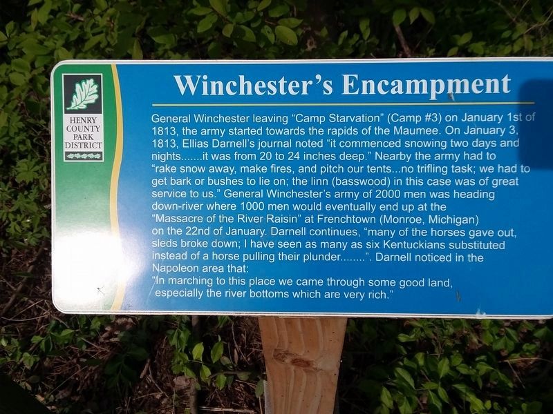
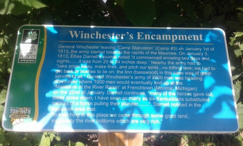
Winchester's Encampment
General Winchester leaving "Camp Starvation” (Camp #3) on January 1st of 1813, the army started towards the rapids of the Maumee. On January 3, 1813, Ellias Darnell's journal noted "it commenced snowing two days and nights…it was from 20 to 24 inches deep.” Nearby the army had to "rake snow away, make fires, and pitch our tents…no trifling task; we had to get bark or bushes to lie on; the linn (basswood) in this case was of great service to us.” General Winchester's army of 2000 men was heading down-river where 1000 men would eventually end up at the "Massacre of the River Raisin” at Frenchtown (Monroe, Michigan) on the 22nd of January. Darnell continues, "many of the horses gave out, sleds broke down; I have seen as many as six Kentuckians substituted instead of a horse pulling their plunder……". Darnell noticed in the Napoleon area that:
"In marching to this place we came through some good land, especially the river bottoms which are very rich."
Erected by Henry County Park District.
Topics. This historical marker is listed in this topic list: War of 1812. A significant historical date for this entry is January 1, 1813.
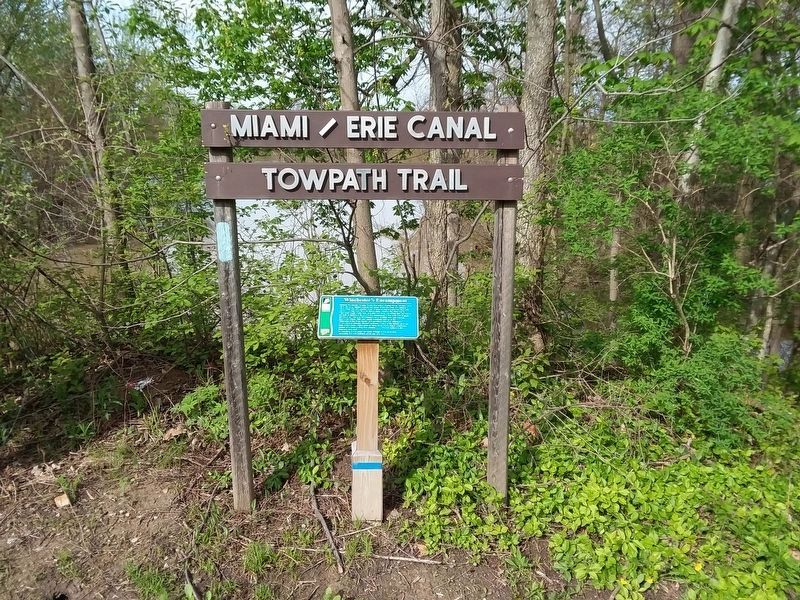
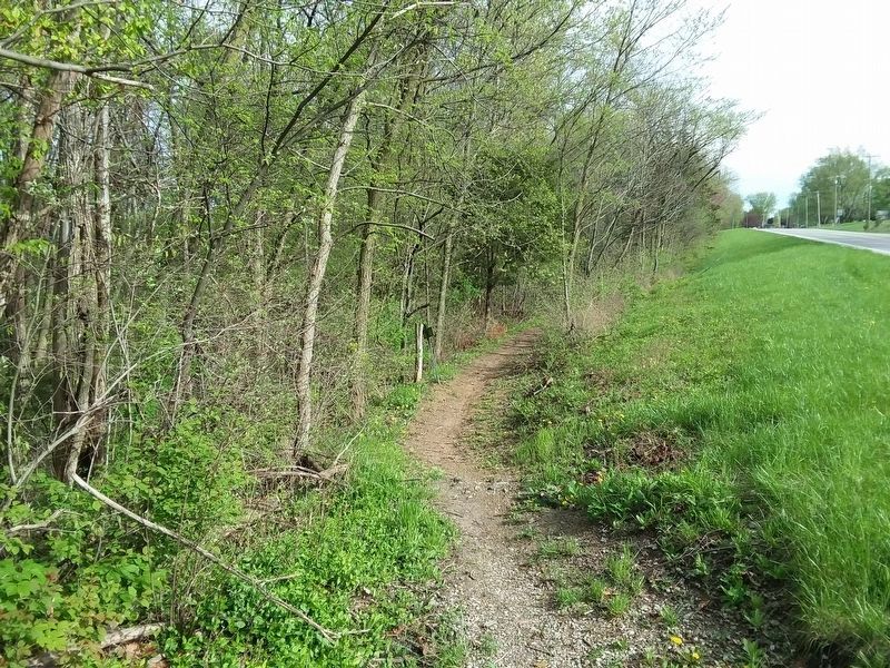
Location. Marker has been reported missing. It was located near 41° 21.733′ N, 84° 9.183′ W. Marker was in Napoleon, Ohio, in Henry County. Marker was on County Road North (Ohio Route 424) just south of County Road 15C, on the right when traveling north. Touch for map. Marker was at or near this postal address: 14202 County Road North, Napoleon OH 43545, United States of America. Touch for directions.
Other nearby markers. At least 8 other markers are within 2 miles of this location, measured as the crow flies. You Are On The Buckeye Trail (approx. 1.2 miles away); Civil War Camp Latty (approx. 1½ miles away); Napoleon Lions Club (approx. 1½ miles away); Napoleon Rotary Club (approx. 1½ miles away); C.C. "Bud" Rodenberger (approx. 1½ miles away); Glenwood Memorial (approx. 1.6 miles away); Flood of 1982 (approx. 1.8 miles away); Veterans Memorial (approx. 1.8 miles away). Touch for a list and map of all markers in Napoleon.
Credits. This page was last revised on December 28, 2023. It was originally submitted on November 17, 2020, by Craig Doda of Napoleon, Ohio. This page has been viewed 172 times since then and 9 times this year. Last updated on November 2, 2023, by Craig Doda of Napoleon, Ohio. Photos: 1. submitted on November 2, 2023, by Craig Doda of Napoleon, Ohio. 2, 3. submitted on February 14, 2021, by Craig Doda of Napoleon, Ohio. 4. submitted on November 2, 2023, by Craig Doda of Napoleon, Ohio. 5. submitted on February 14, 2021, by Craig Doda of Napoleon, Ohio. • Devry Becker Jones was the editor who published this page.
