Cayuga in Haldimand County, Ontario — Central Canada (North America)
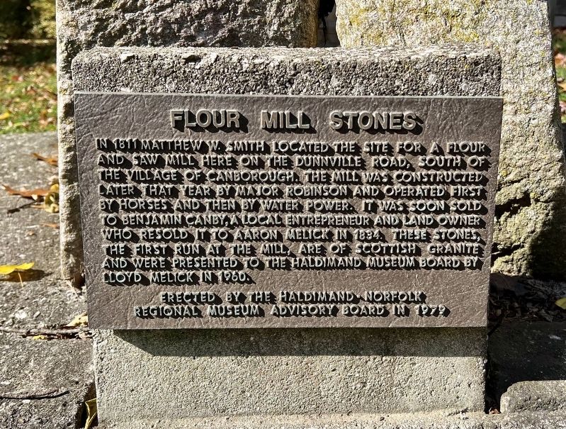
Flour Mill Stones
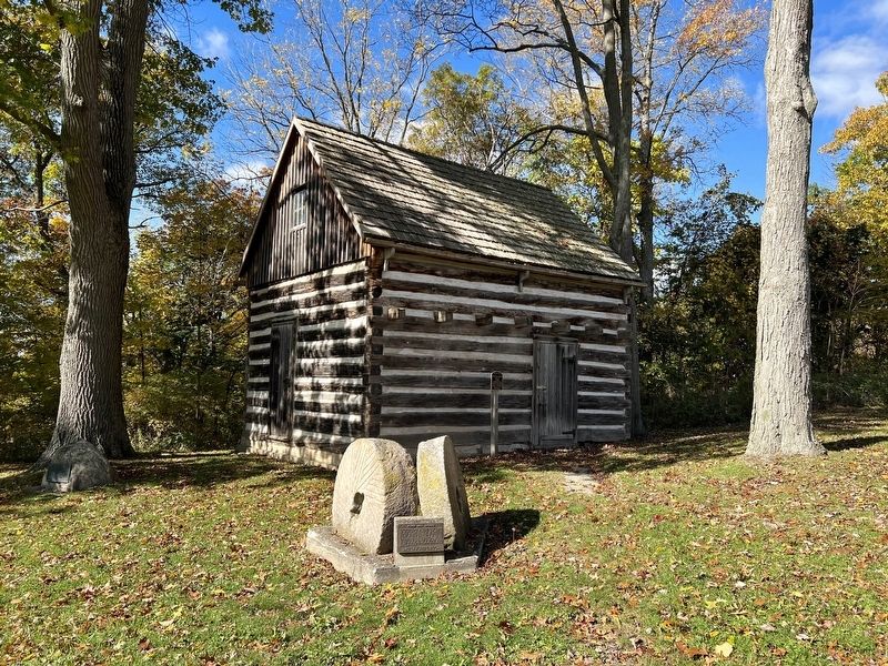
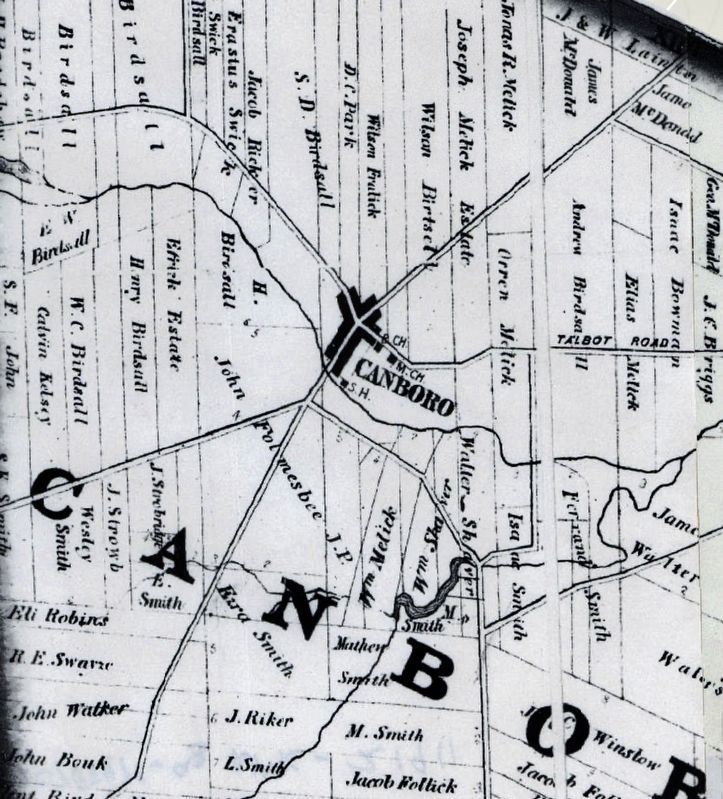
In 1811 Matthew W. Smith located the site for a flour and saw mill here on the Dunnville Road, south of the village of Canborough. The mill was constructed later that year by Major Robinson and operated first by horses and then by water power. It was soon sold to Benjamin Canby, a local entrepreneur and land owner who resold it to Aaron Melick 1834. These stones, the first run at the mill, are of Scottish granite and were presented to the Haldimand Museum Board by Lloyd Melick in 1960.
Erected by the Haldimand-Norfolk Regional Museum Advisory Board in 1979
Erected 1979 by Haldimand-Norfolk Regional Museum Advisory Board.
Topics. This historical marker is listed in these topic lists: Industry & Commerce • Settlements & Settlers. A significant historical year for this entry is 1811.
Location. 42° 57.266′ N, 79° 51.564′ W. Marker is in Cayuga, Ontario, in Haldimand County. Marker is on Munsee Street North, 0.1 kilometers Echo Street West, on the right when traveling south. The marker is on the grounds of the Cayuga Courthouse. Touch for map. Marker is in this post office area: Cayuga ON N0A 1E0, Canada. Touch for directions.
Other nearby markers. At least 8 other markers are within 8 kilometers of this marker, measured as the crow flies. Nicholas Log Cabin (here, next to this marker); The Haldimand Grant (about 90 meters away, measured in a direct line); Judicial Complex, Haldimand County (about 90 meters away); Evolving History of the Cayuga Bridge (approx. 0.6 kilometers away); Ruthven Park (approx. 3 kilometers away); The Youngs (approx. 4.3 kilometers away); The Davis, Martindale Flour and Grist Mill of York (approx. 7.8 kilometers away); Barber Hotel of York (1862) (approx. 7.9 kilometers away). Touch for a list and map of all markers in Cayuga.
Credits. This page was last revised on November 3, 2023. It was originally submitted on November 2, 2023, by Tim Boyd of Hamilton, Ontario. This page has been viewed 49 times since then and 6 times this year. Photos: 1, 2, 3. submitted on November 2, 2023, by Tim Boyd of Hamilton, Ontario. • Andrew Ruppenstein was the editor who published this page.


