Cayuga in Haldimand County, Ontario — Central Canada (North America)
Evolving History of the Cayuga Bridge
1842
Swing Bridge and Navigation
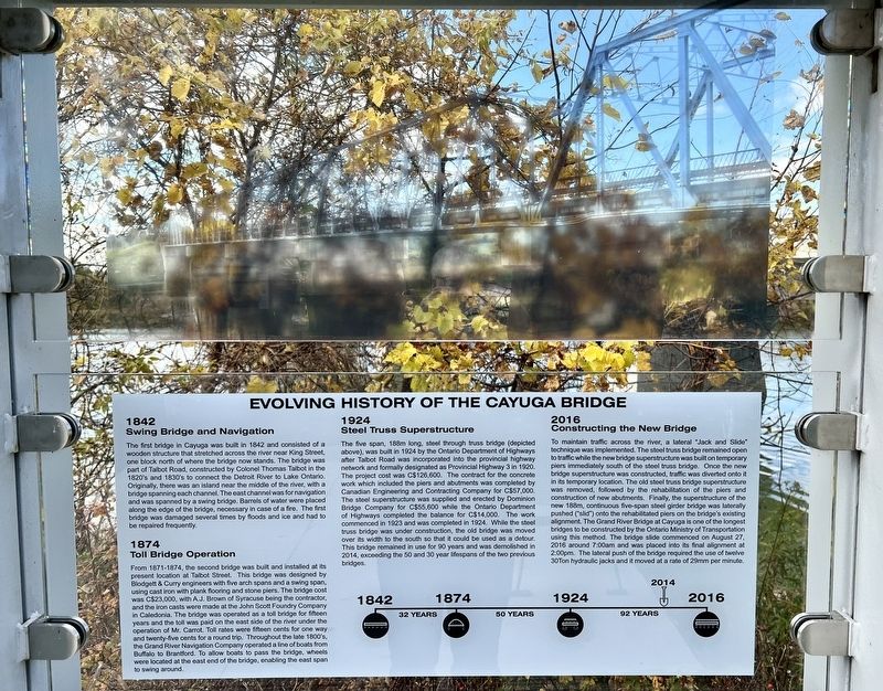
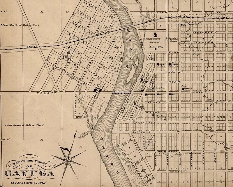
The first bridge in Cayuga was built in 1842 and consisted of a wooden structure that stretched across the river near King Street, one block north of where the bridge now stands. The bridge was part of Talbot Road, constructed by Colonel Thomas Talbot in the 1820's and 1830's to connect the Detroit River to Lake Ontario. Originally, there was an island near the middle of the river, with a bridge spanning each channel. The east channel was for navigation and was spanned by a swing bridge. Barrels of water were placed along the edge of the bridge, necessary in case of a fire. The first bridge was damaged several times by floods and ice and had to be repaired frequently.
1874
Toll Bridge Operation
From 1871-1874, the second bridge was built and installed at its present location at Talbot Street. This bridge was designed by Blodgett & Curry engineers with five arch spans and a swing span, using cast iron with plank flooring and stone piers. The bridge cost was C$23,000, with A.J. Brown of Syracuse being the contractor, and the iron casts were made at the John Scott Foundry Company in Caledonia. The bridge was operated as a toll bridge for fifteen vears and the toll was paid on the east side of the river under the operation of Mr. Carrot. Toll rates were fitteen cents for one way and twenty-five cents for a round trip. Throughout the late 1800s, the Grand River Navigation Company operated a line of boats from Buffalo to Brantford. To allow boats to pass the bridge, wheels were located at the east end of the bridge, enabling the east span to swing around.
1924
Steel Truss Superstructure
The five span, 188m long, steel through truss bridge (depicted above), was built in 1924 by the Ontario Department of Highways after Talbot Road was incorporated into the provincial highway network and formally designated as Provincial Highway 3 in 1920. The project cost was C$126,600. The contract for the concrete work which included the piers and abutments was completed by Canadian Engineering and Contracting Company for C$57,000. The steel superstructure was supplied and erected by Dominion Bridge Company for C$55,600 while the Ontario Department of Highways completed the balance for C$14,000. The work commenced in 1923 and was completed in 1924. While the steel truss bridge was under construction, the old bridge was moved over its width to the south so that it could be used as a detour. This bridge remained in use for 90 years and was demolished in 2014, exceeding the 50 and 30 year lifespans of the two previous bridges.
2016
Constructing the New Bridge
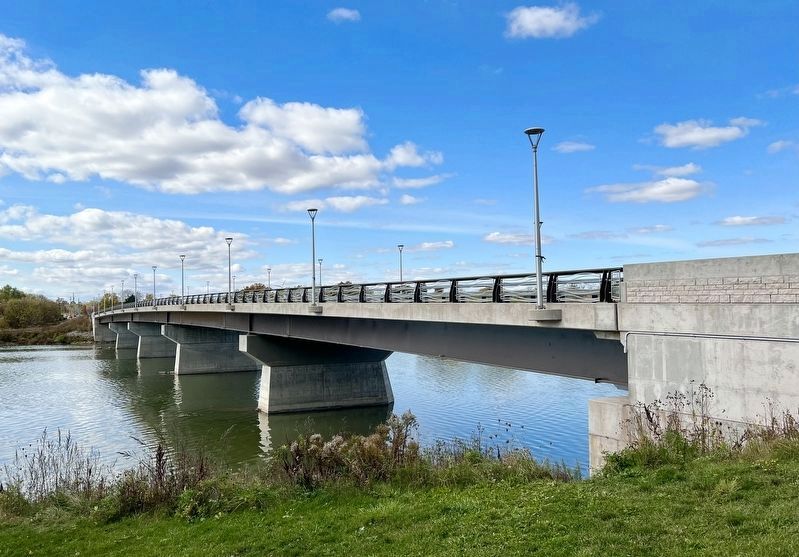
To maintain traffic across the river, a lateral "Jack and Slide" technique was implemented. The steel truss bridge remained open to traffic while the new bridge superstructure was built on temporary piers immediately south of the steel truss bridge. Once the new bridge superstructure was constructed, traffic was diverted onto it in its temporary location. The old steel truss bridge superstructure was removed, followed by the rehabilitation or the piers and construction of new abutments. Finally. the superstructure of the new 188m, continuous five-span steel girder bridge was laterally pushed (”slid”) onto the rehabilitated piers on the bride's existing alignnment. The Grand River Bridge at Cayuga is one of the longest bridges to be constructed by the Ontario Ministry of Transportation using this method. The bridge slide commenced on August 27, 2016 around 7:00am and was placed into its final alignment at 2:00pm. The lateral push of the bridge required the use of twelve 30Ton hydraulic jacks and it moved at a rate of 29mm per minute.
Topics. This historical marker is listed in this topic list: Bridges & Viaducts. A significant historical date for this entry is August 27, 2016.
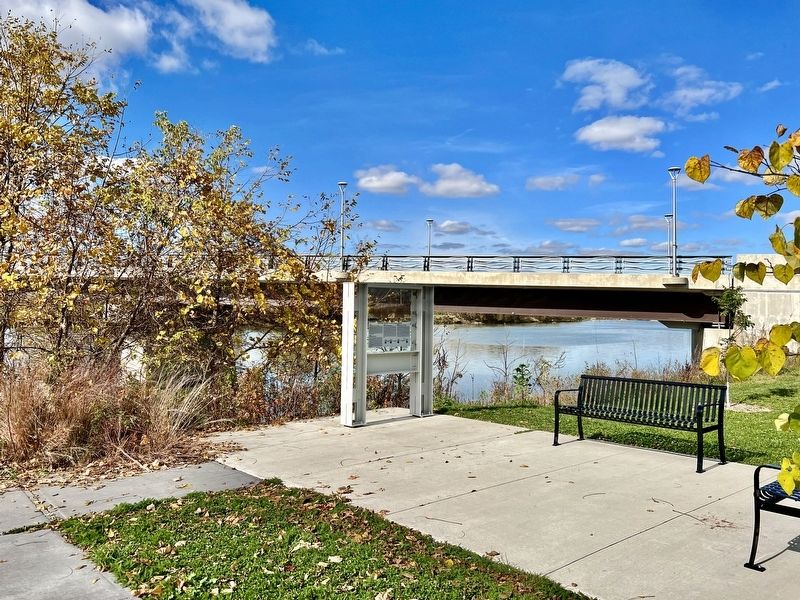
Location. 42° 56.936′ N, 79° 51.614′ W. Marker is in Cayuga, Ontario, in Haldimand County. Marker is at the intersection of Ouse Street South and Talbot Street West, on the right when traveling south on Ouse Street South. Touch for map. Marker is in this post office area: Cayuga ON N0A 1E0, Canada. Touch for directions.
Other nearby markers. At least 8 other markers are within 10 kilometers of this marker, measured as the crow flies. Nicholas Log Cabin (approx. 0.6 kilometers away); Flour Mill Stones (approx. 0.6 kilometers away); The Haldimand Grant (approx. 0.7 kilometers away); Judicial Complex, Haldimand County (approx. 0.7 kilometers away); Ruthven Park (approx. 3.6 kilometers away); The Youngs (approx. 4.9 kilometers away); The Davis, Martindale Flour and Grist Mill of York (approx. 8.4 kilometers away); Barber Hotel of York (1862) (approx. 8.4 kilometers away). Touch for a list and map of all markers in Cayuga.
Credits. This page was last revised on November 3, 2023. It was originally submitted on November 3, 2023, by Tim Boyd of Hamilton, Ontario. This page has been viewed 48 times since then and 10 times this year. Photos: 1, 2, 3, 4. submitted on November 3, 2023, by Tim Boyd of Hamilton, Ontario. • Andrew Ruppenstein was the editor who published this page.


