Crawford in Dawes County, Nebraska — The American Midwest (Upper Plains)
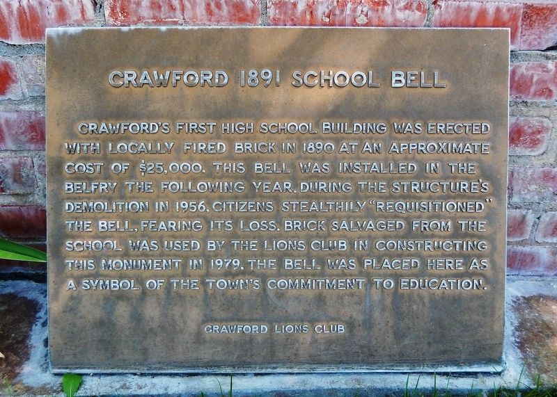
Crawford 1891 School Bell
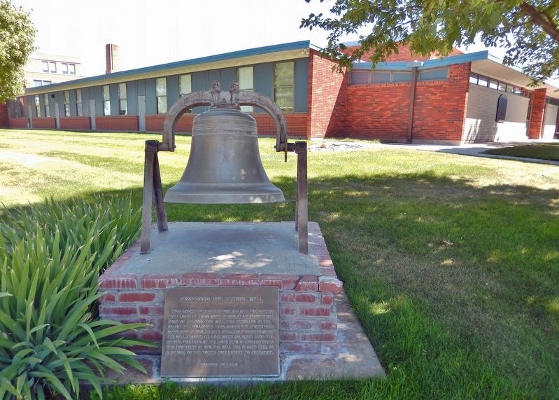
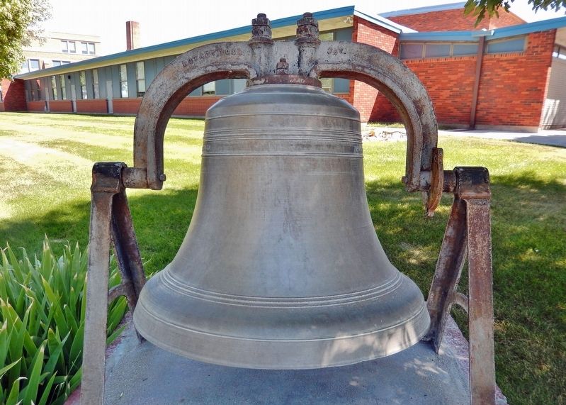
Crawford’s first High School building was erected with locally fired brick in 1890 at an approximate cost of $25,000. This bell was installed in the belfry the following year. During the structure’s demolition in 1956, citizens stealthily “requisitioned” the bell, fearing its loss. Brick salvaged from the school was used by the Lions Club in constructing this monument in 1979. The bell was placed here as a symbol of the town’s commitment to education.
Erected 1979 by Crawford Lions Club; Nebraska State Historical Society. (Marker Number 271.)
Topics and series. This historical marker is listed in these topic lists: Architecture • Education • Fraternal or Sororal Organizations. In addition, it is included in the Nebraska State Historical Society series list. A significant historical year for this entry is 1891.
Location. 42° 40.852′ N, 103° 24.466′ W. Marker is in Crawford, Nebraska, in Dawes County. Marker is at the intersection of 5th Street and Coates Street, on the right when traveling north on 5th Street. The marker and bell are located at the northwest corner of the Crawford Elementary School grounds. Touch for map. Marker is at or near this postal address: 908 5th Street, Crawford NE 69339, United States of America. Touch for directions.
Other nearby markers. At least 8 other markers are within 3 miles of this marker, measured as the crow flies. Crawford (approx. 0.3 miles away); Crossing of the Trails (approx. 0.3 miles away); The Death of Baptiste Garnier (approx. half a mile away); Moses P. Kinkaid (approx. 0.6 miles away); Site of Red Cloud Indian Agency (approx. 1.6 miles away); Red Cloud Agency (approx. 1.6 miles away); German P.O.W. Camp (approx. 1.7 miles away); Fort Robinson and the Railroad (approx. 2.8 miles away). Touch for a list and map of all markers in Crawford.
Also see . . . A picture postcard of the Crawford, NE High School building. (Submitted on November 10, 2023, by Cosmos Mariner of Cape Canaveral, Florida.)
Credits. This page was last revised on November 10, 2023. It was originally submitted on November 9, 2023, by Cosmos Mariner of Cape Canaveral, Florida. This page has been viewed 56 times since then and 14 times this year. Photos: 1, 2, 3. submitted on November 10, 2023, by Cosmos Mariner of Cape Canaveral, Florida.


