Waterfront in Santa Barbara in Santa Barbara County, California — The American West (Pacific Coastal)
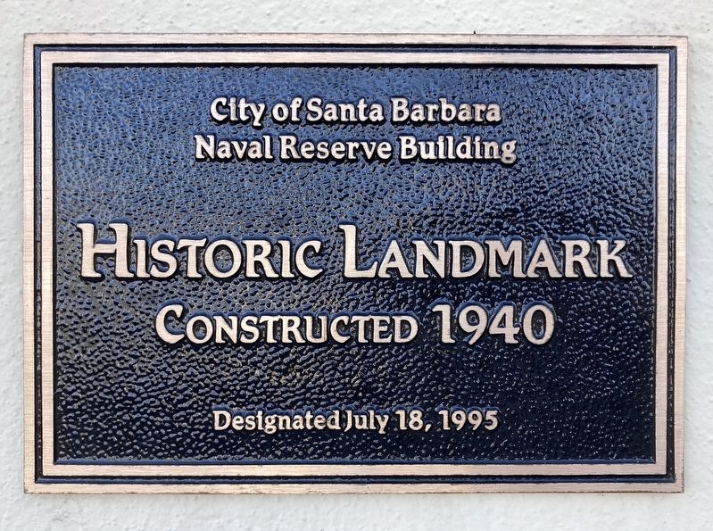
Naval Reserve Building
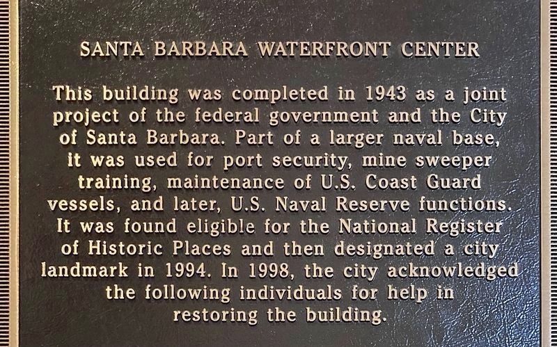
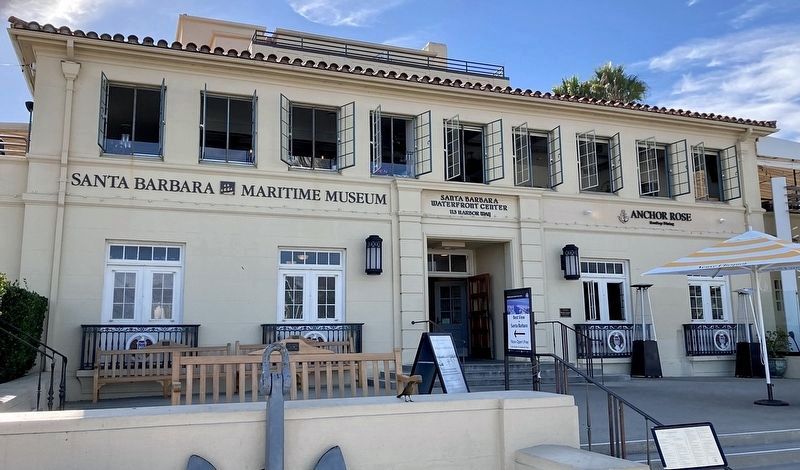
Santa Barbara Waterfront Center
City of Santa Barbara
Naval Reserve Building
Historic Landmark
Constructed 1940
Designated July 18, 1995
Santa Barbara Waterfront Center
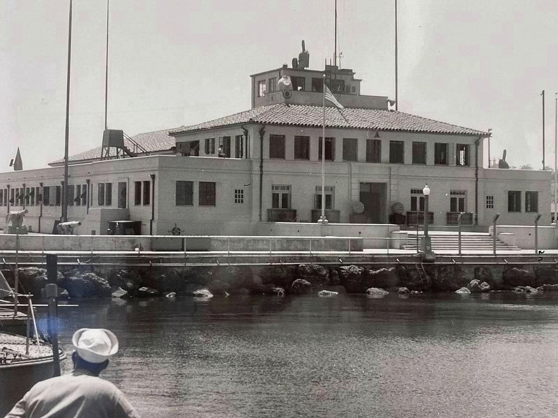
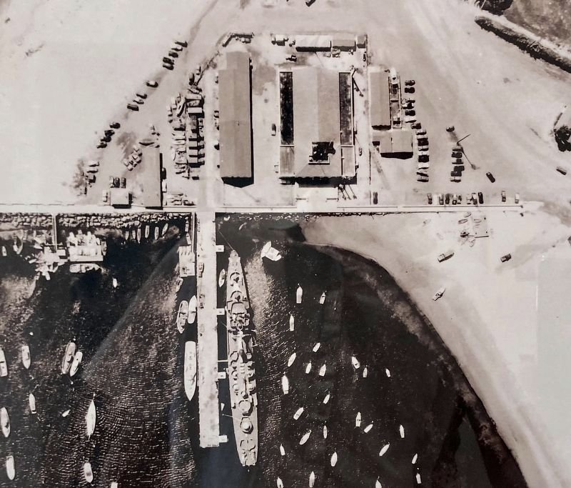
This building was completed in 1943 as a joint project of the federal government and the City of Santa Barbara. Part of a larger naval base, it was used for port security, mine sweeper training, maintenance of U.S. Coast Guard vessels, and later, U.S. Naval Reserve functions. It was found eligible for the National Register of Historic Places and then designated a city landmark in 1994.
Erected 1995 by City of Santa Barbara.
Topics. This historical marker is listed in these topic lists: Architecture • Military. A significant historical year for this entry is 1940.
Location. 34° 24.252′ N, 119° 41.621′ W. Marker is in Santa Barbara, California, in Santa Barbara County. It is in Waterfront. Marker can be reached from Harbor Way near Shoreline Drive. Located at the Santa Barbara Maritime Museum. Touch for map. Marker is at or near this postal address: 113 Harbor Way, Santa Barbara CA 93109, United States of America. Touch for directions.
Other nearby markers. At least 8 other markers are within walking distance of this marker. Purisima (a few steps from this marker); Red Abalone (within shouting distance of this marker); Santa Barbara Yacht Club (about 400 feet away, measured in a direct line); Los Baños del Mar Pool (approx. ¼ mile away); Sambo's Birthplace (approx. 0.4 miles away); Burton Mound (approx. half a mile away); Santa Barbara Veterans' Memorial Building (approx. half a mile away); Trussell-Winchester Adobe (approx. half a mile away). Touch for a list and map of all markers in Santa Barbara.
Credits. This page was last revised on December 15, 2023. It was originally submitted on November 15, 2023, by Craig Baker of Sylmar, California. This page has been viewed 65 times since then and 18 times this year. Photos: 1, 2, 3, 4, 5. submitted on November 15, 2023, by Craig Baker of Sylmar, California.
