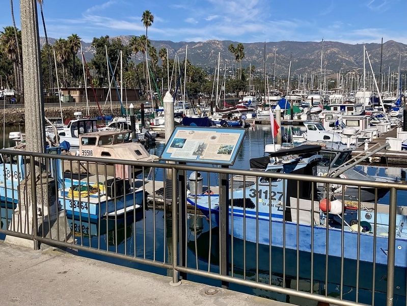
Waterfront in Santa Barbara in Santa Barbara County, California — The American West (Pacific Coastal)
Red Abalone
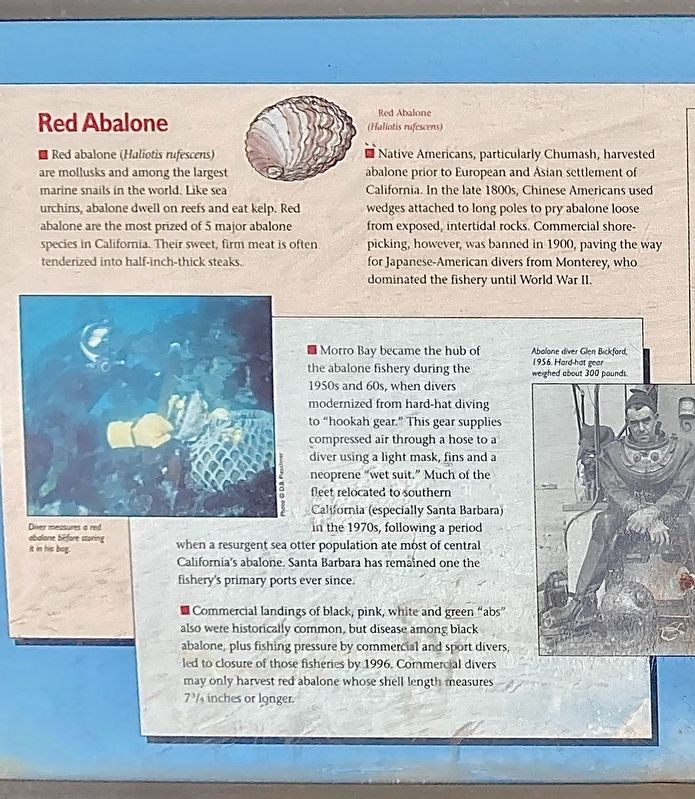
Red abalone (Haliotis rufescens) are mollusks and among the largest marine snails in the world. Like sea urchins, abalone dwell on reefs and eat kelp. Red abalone are the most prized of 5 major abalone species in California. Their sweet, firm meat is often tenderized into half-inch-thick steaks.
Native Americans, particularly Chumash, harvested abalone prior to European and Asian settlement of California. In the late 1800s, Chinese Americans used wedges attached to long poles to pry abalone loose from exposed, intertidal rocks. Commercial shore-picking, however, was banned in 1900, paving the way for Japanese-American divers from Monterey, who dominated the fishery until World War II.
Morro Bay became the hub of the abalone fishery during the 1950s and 60s, when divers modernized from hard-hat diving to "hookah gear." This gear supplies compressed air through a hose to a diver using a light mask, fins and a neoprene "wet suit." Much of the fleet relocated to southern California (especially Santa Barbara) in the 1970s, following a period when a resurgent sea otter population ate most of central California's abalone. Santa Barbara has remained one the fishery's primary ports ever since.
Commercial landings of black, pink, white and green "abs" also were historically common, but disease among black abalone, plus fishing pressure by commercial and sport divers, led to closure of those fisheries by 1996. Commercial divers may only harvest red abalone whose shell length measures 7¾ inches or longer.
Topics. This historical marker is listed in these topic lists: Industry & Commerce • Natural Resources.
Location. 34° 24.272′ N, 119° 41.636′ W. Marker is in Santa Barbara, California, in Santa Barbara County. It is in Waterfront. Marker can be reached from Harbor Way near Shoreline Drive. Touch for map. Marker is at or near this postal address: 107 Harbor Way, Santa Barbara CA 93109, United States of America. Touch for directions.
Other nearby markers. At least 8 other markers are within walking distance of this marker. Naval Reserve Building (within shouting distance of this marker); Purisima (within shouting distance of this marker); Santa Barbara Yacht Club (about 500 feet away, measured in a direct line); Los Baños del Mar Pool (approx. ¼ mile away); Sambo's Birthplace (approx. 0.4 miles away); Burton Mound (approx. half a mile away); Trussell-Winchester Adobe (approx. half a mile away); Santa Barbara Veterans' Memorial Building (approx. half a mile away). Touch for a list and map of all markers in Santa Barbara.
Credits. This page was last revised on November 16, 2023. It was originally submitted on November 16, 2023, by Craig Baker of Sylmar, California. This page has been viewed 49 times since then and 13 times this year. Photos: 1, 2. submitted on November 16, 2023, by Craig Baker of Sylmar, California.

