German Township in New Bremen in Auglaize County, Ohio — The American Midwest (Great Lakes)
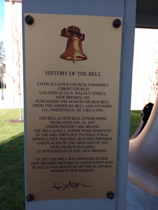
History Of The Bell
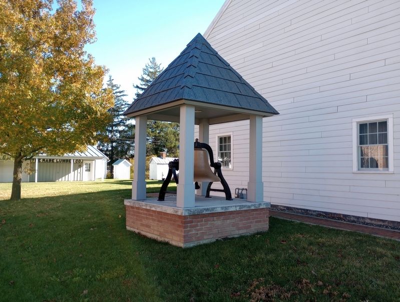
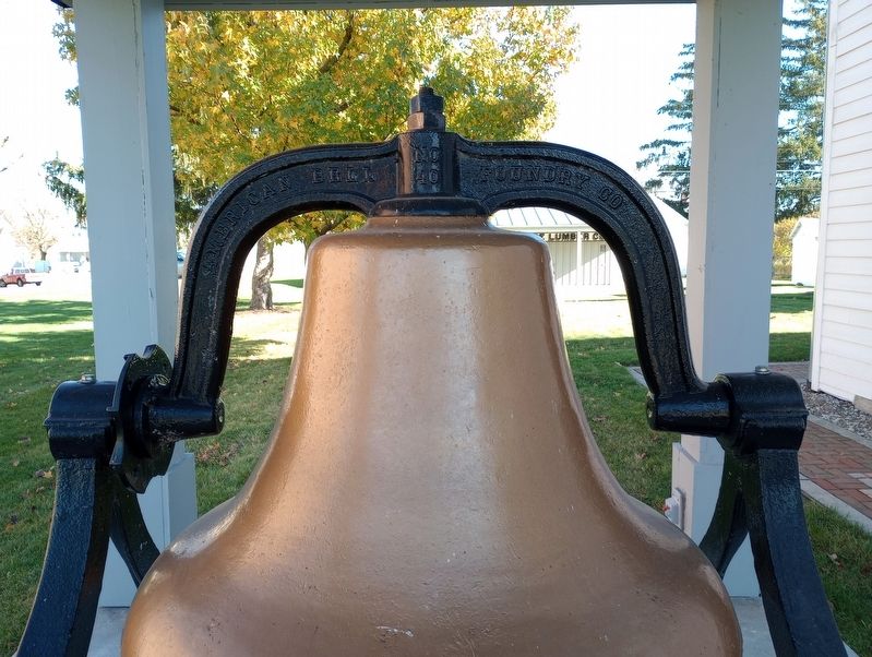
Purchased the 40 inch church bell from the American Bell and Foundry Co., Northville, Mi. circa 1945.
The bell & new bell tower were dedicated Jan. 26, 1947 under Pastor Carl Brand.
The bell & bell tower were removed in the mid 1990's due to structural difficulties. The bell was refurbished and placed on the grounds of the new church building at 6670 Knoxville Ave. New Bremen.
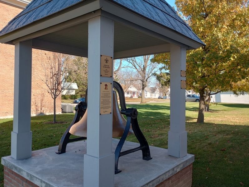
In 2021 the bell was donated to the New Bremen Historical Association and in 2022 it was mounted on the platform where it now resides.
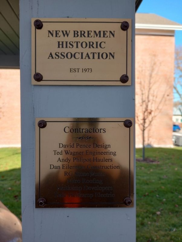
New Bremen Historic Association Est 1973
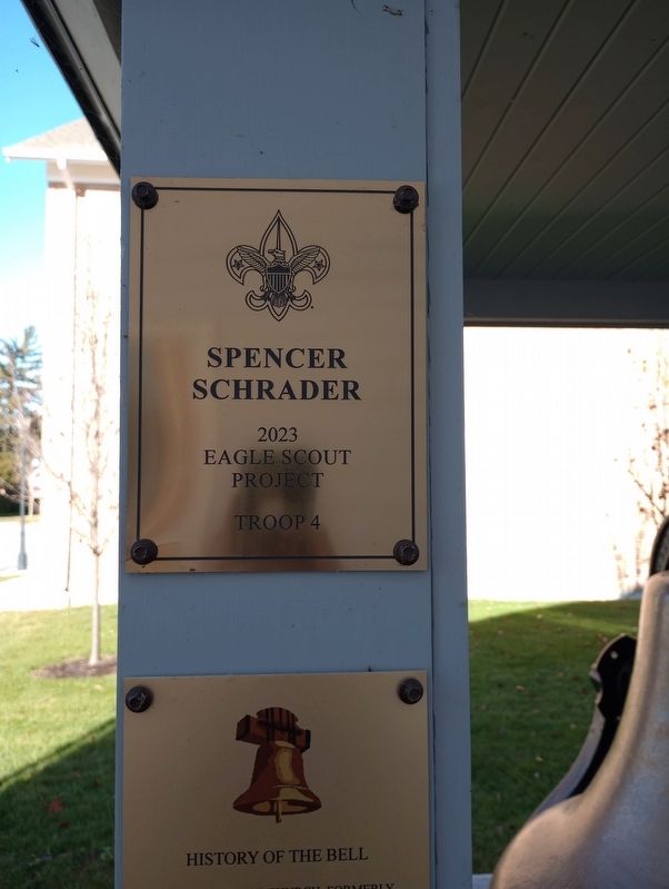
Erected 2023 by Spencer Schrader Eagle Scout Project Troop 4.
Topics and series. This historical marker is listed in this topic list: Churches & Religion. In addition, it is included in the Historic Bells series list. A significant historical date for this entry is January 26, 1947.
Location. 40° 26.343′ N, 84° 22.955′ W. Marker is in New Bremen, Ohio, in Auglaize County. It is in German Township. Marker is on North Main Street, on the right when traveling north. Touch for map. Marker is at or near this postal address: 123 N Main Street, New Bremen OH 45869, United States of America. Touch for directions.
Other nearby markers. At least 8 other markers are within walking distance of this marker. The Luelleman House (a few steps from this marker); 123 N. Main St. (a few steps from this marker); 124 West Monroe Street (about 700 feet away, measured in a direct line); 116 West Monroe Street (about 700 feet away); 120 West Monroe Street (about 700 feet away); Canal Lock Stones (about 800 feet away); 112 West Monroe Street (about 800 feet away); 102 West Monroe Street (approx. 0.2 miles away). Touch for a list and map of all markers in New Bremen.
Credits. This page was last revised on November 22, 2023. It was originally submitted on November 19, 2023, by Craig Doda of Napoleon, Ohio. This page has been viewed 44 times since then and 11 times this year. Photos: 1, 2, 3, 4, 5, 6. submitted on November 19, 2023, by Craig Doda of Napoleon, Ohio. • Andrew Ruppenstein was the editor who published this page.
