Charles City in Floyd County, Iowa — The American Midwest (Upper Plains)
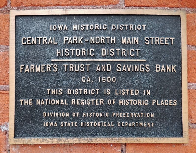
Farmer's Trust and Savings Bank
Central Park–North Main Street Historic District
Central Park–North Main Street
Historic District
————————
Farmer’s Trust and Savings Bank
ca. 1900
This district is listed in
The National Register of Historic Places
Erected by Division of Historic Preservation, Iowa State Historical Department.
Topics and series. This historical marker is listed in these topic lists: Architecture • Notable Buildings. In addition, it is included in the National Register of Historic Places series list. A significant historical year for this entry is 1900.
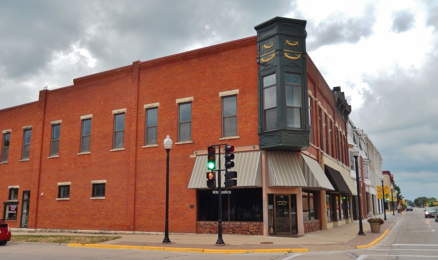
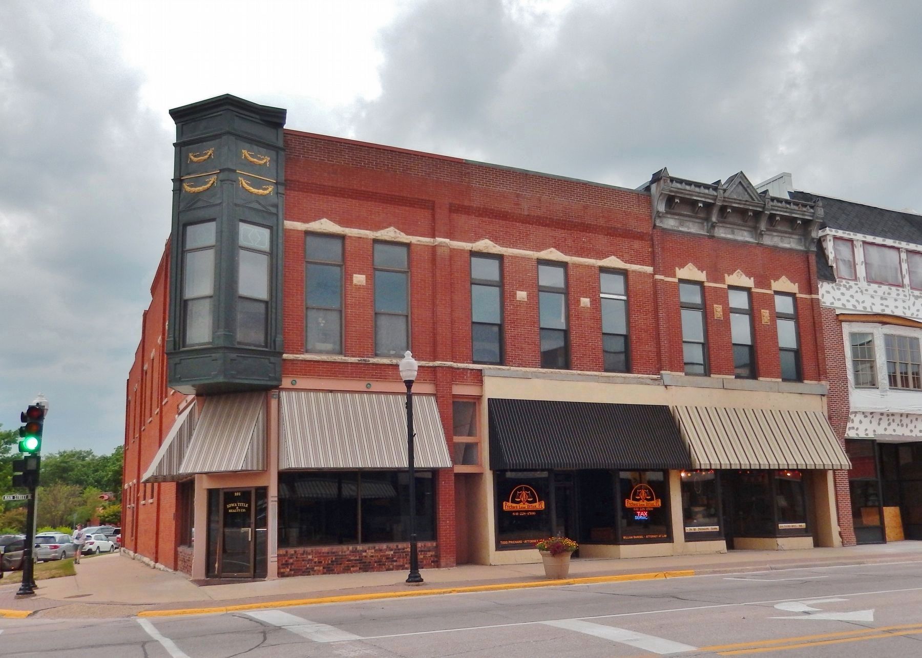
Location. 43° 4.007′ N, 92° 40.776′ W. Marker is in Charles City, Iowa, in Floyd County. Marker is on Riverside Drive just west of North Main Street, on the right when traveling west. The marker is mounted at eye-level on the south side of the subject building. Touch for map. Marker is at or near this postal address: 101 North Main Street, Charles City IA 50616, United States of America. Touch for directions.
Other nearby markers. At least 8 other markers are within 14 miles of this marker, measured as the crow flies. Original Mill Wheel (within shouting distance of this marker); Main Street Bridge (within shouting distance of this marker); Floyd County Veterans Memorial (about 800 feet away, measured in a direct line); 1968 Tornado Memorial (approx. 0.2 miles away); Charles City Veterans Monument (approx. 0.2 miles away); Andres Memorial Park (approx. 0.3 miles away); Dana Park (approx. 0.6 miles away); Greene Freedom Rock Veterans Memorial (approx. 13.4 miles away). Touch for a list and map of all markers in Charles City.
Regarding Farmer's Trust and Savings Bank. Contributing Property, Central Park - North Main Street Historic District, National Register of Historic Places #76000771.
From the National Register Nomination:
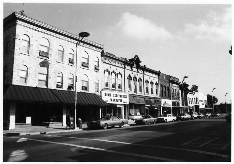
Except for two vacant parcels, the west side of North Main is intact and is unique by its continuity of historic commercial facades. Although, generally, the ground floor store fronts have been altered, the historic styles, scale and character of the buildings are relatively unmarred.Farmers Trust and Savings Bank (101-103 N. Main Street): Circa 1900, Queen Anne style influence, 2 stories, brick with upper story limestone window heads and corner bay of decorative tin cladding. Original bank vault and teller station intact. Maintenance and condition of the building are good.
Also see . . . Central Park–North Main Street Historic District. Wikipedia entry:
Excerpt:
The buildings were built from 1877 to 1914,(Submitted on November 24, 2023, by Cosmos Mariner of Cape Canaveral, Florida.)and with one exception, are masonry. The one exception is a frame house. Most of the buildings are two stories in height. The exceptions are 1˝-story Carnegie library and two large limestone buildings that are three stories in height. The district is L-shaped, starting at the Cedar River and including the buildings on the west side of North Main Street up to and including Central Park, the town square. There are also three buildings on the west side of the square along North Jackson Street.via NPS, unknown2. Central Park - North Main Street Historic DistrictNational Register of Historic Places Nomination Form
NPGallery Digital Asset Management System
Click for more information.
Credits. This page was last revised on November 25, 2023. It was originally submitted on November 23, 2023, by Cosmos Mariner of Cape Canaveral, Florida. This page has been viewed 44 times since then and 8 times this year. Photos: 1. submitted on November 24, 2023, by Cosmos Mariner of Cape Canaveral, Florida. 2. submitted on November 25, 2023, by Larry Gertner of New York, New York. 3, 4. submitted on November 24, 2023, by Cosmos Mariner of Cape Canaveral, Florida.


