Rosman in Transylvania County, North Carolina — The American South (South Atlantic)
Rosman Schools
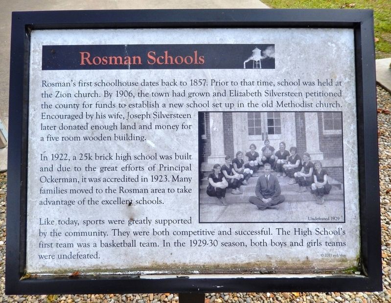
Rosman's first schoolhouse dates back to 1857. Prior to that time, school was held at the Zion church. By 1906, the town had grown and Elizabeth Silversteen petitioned the county for funds to establish a new school set up in the old Methodist church. Encouraged by his wife, Joseph Silversteen later donated enough land and money for a five room wooden building.
In 1922, a 25k brick high school was built and due to the great efforts of Principal Ockerman, it was accredited in 1923. Many families moved to the Rosman area to take advantage of the excellent schools.
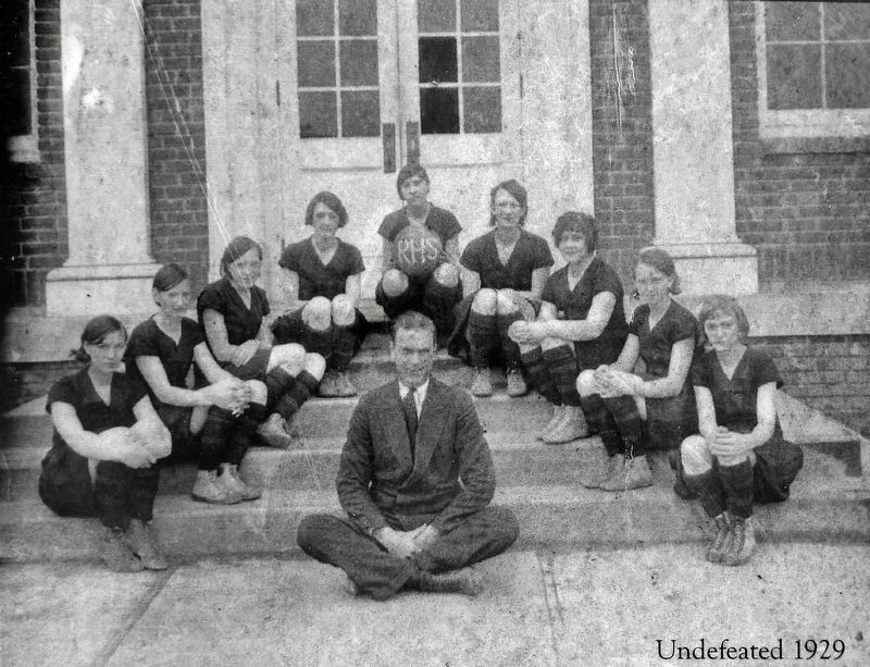
Like today, sports were greatly supported by the community. They were both competitive and successful. The High School's first team was a basketball team. In the 1929-30 season, both boys and girls teams were undefeated.
© 2011 eyd/thm
Erected 2011 by Transylvania Heritage Museum.
Topics. This historical marker is listed in these topic lists: Education • Sports. A significant historical year for this entry is 1857.
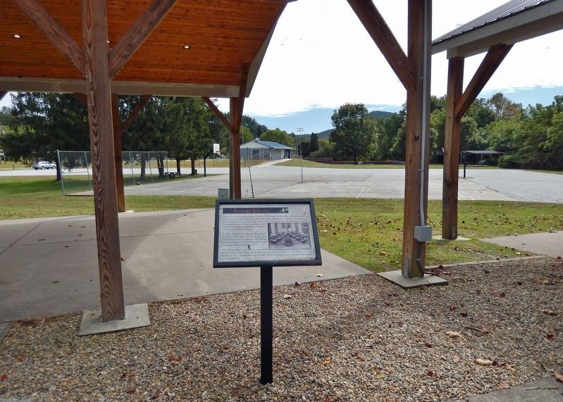
Location. 35° 8.73′ N, 82° 49.552′ W. Marker is in Rosman, North Carolina, in Transylvania County. Marker can be reached from the intersection of Pickens Highway (U.S. 178) and Main Street (State Road 1156), on the right when traveling south . The marker is located in the history exhibit plaza adjacent to Rosman Town Hall. Touch for map. Marker is at or near this postal address: 6 Main Street, Rosman NC 28772, United States of America. Touch for directions.
Other nearby markers. At least 8 other markers are within walking distance of this marker. Rosman Today (here, next to this marker); Making a Living (here, next to this marker); What's in a Name? (here, next to this marker); God's Children (here, next to this marker); The Queen City (here, next to this marker); The Mighty French Broad (a few steps from this marker); The Eastatoe Path (a few steps from this marker); Joshua Mountain and Early Settlers (a few steps from this marker). Touch for a list and map of all markers in Rosman.
Related markers. Click here for a list of markers that are related to this marker.
Credits. This page was last revised on December 3, 2023. It was originally submitted on December 2, 2023, by Cosmos Mariner of Cape Canaveral, Florida. This page has been viewed 60 times since then and 22 times this year. Photos: 1, 2, 3. submitted on December 2, 2023, by Cosmos Mariner of Cape Canaveral, Florida.


