Cedar-Riverside in Minneapolis in Hennepin County, Minnesota — The American Midwest (Upper Plains)
Rail Traffic in the Twin Cities
Historic Marker
Inscription.
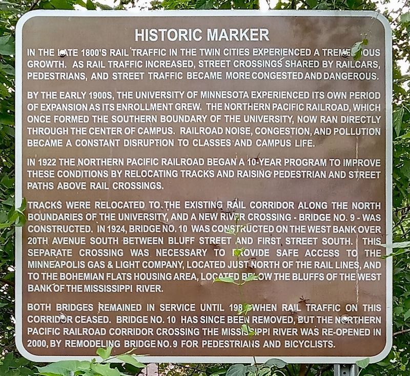
In the late 1800's rail traffic in the Twin Cities experienced a tremendous growth. As rail traffic increased, street crossings shared by railcars, pedestrians, and street traffic became more congested and dangerous.
By the early 1900s, the University of Minnesota experienced its own period of expansion as its enrollment grew. The Northern Pacific Railroad, which once formed the southern boundary of the university, now ran directly through the center of campus. Railroad noise, congestion, and pollution became a constant disruption to classes and campus life.
In 1922 the Northern Pacific Railroad began a 10-year program to improve these conditions by relocating tracks and raising pedestrian and street paths above rail crossings.
Tracks were relocated to the existing rail corridor along the north boundaries of the university, and a new river crossing - Bridge No. 9 - was constructed. In 1924, Bridge No. 10 was constructed on the West Bank over 20th Avenue South between Bluff Street and First Street South. This separate crossing was necessary to provide safe access to the Minneapolis Gas & Light Company, located just north of the rail lines, and to the Bohemian Flats housing area, located below the bluffs of the west bank of the Mississippi River.
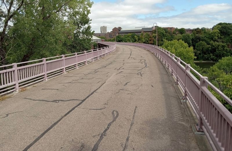
Both bridges remained in service until 1981 when rail traffic on this corridor ceased. Bridge No. 10 has since been removed, but the Northern Pacific Railroad corridor crossing the Mississippi River was re-opened in 2000, by remodeling Bridge No. 9 for pedestrians and bicyclists.
Topics. This historical marker is listed in these topic lists: Bridges & Viaducts • Education • Railroads & Streetcars. A significant historical year for this entry is 1922.
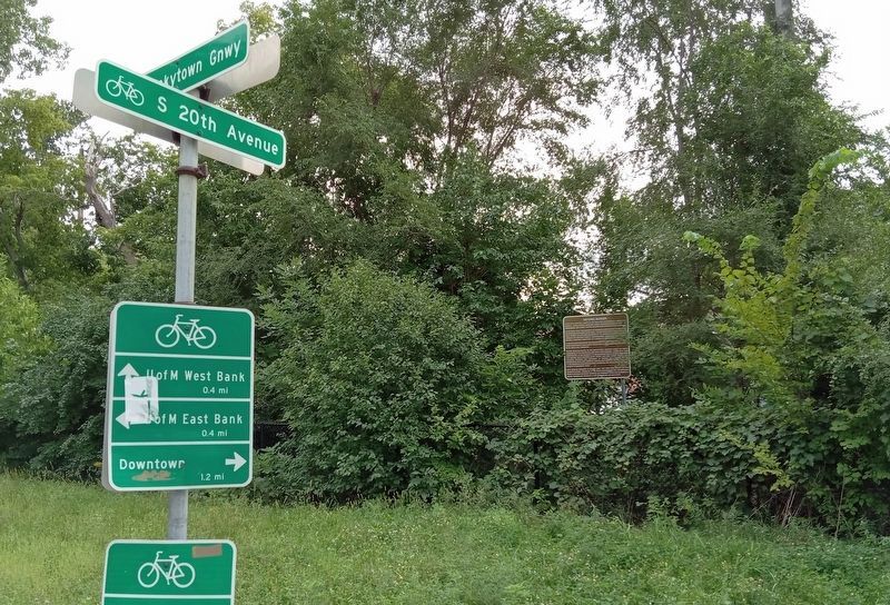
Location. 44° 58.568′ N, 93° 14.624′ W. Marker is in Minneapolis, Minnesota, in Hennepin County. It is in Cedar-Riverside. Marker is at the intersection of 20th Avenue S. and the Bluff Street Bikeway/Dinkytown Greenway, on the right when traveling north on 20th Avenue S.. Touch for map. Marker is at or near this postal address: 1 20th Avenue S, Minneapolis MN 55454, United States of America. Touch for directions.
Other nearby markers. At least 8 other markers are within walking distance of this marker. You Are Here… Bohemian Flats (approx. 0.2 miles away); The West Bank (approx. 0.3 miles away); Mulford Q. Sibley Grove (approx. 0.3 miles away); A Legacy of Public Service (approx. 0.3 miles away); Old Main (approx. 0.3 miles away); Education (approx. 0.3 miles away); Old Portage Trail (approx. 0.4 miles away); A Global University (approx. 0.4 miles away). Touch for a list and map of all markers in Minneapolis.
Also see . . . Northern Pacific Bridge No. 9 on Wikipedia. (Submitted on December 3, 2023, by McGhiever of Minneapolis, Minnesota.)
Credits. This page was last revised on December 3, 2023. It was originally submitted on December 3, 2023, by McGhiever of Minneapolis, Minnesota. This page has been viewed 49 times since then and 11 times this year. Photos: 1, 2, 3. submitted on December 3, 2023, by McGhiever of Minneapolis, Minnesota. • J. Makali Bruton was the editor who published this page.


