Springview in Keya Paha County, Nebraska — The American Midwest (Upper Plains)
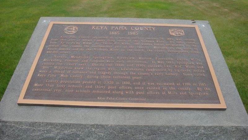
Keya Paha
1885-1985
Norden, Meadville, Springview, Riverview, Burton, Pinecamp, Carns, Mills, Brocksburg, Jamison, and Simpson were early settlements. In May 1885, Springview was chosen the county seat. During the 1880s and 1890s outlaws like “Kid” Wade and “Doc” Middleton knew the region well. Lawlessness confronted by vigilante justice wove a thread of romance and tragedy through the county’s early history. Some called Keya Paha “Mob County” during those turbulent years.
County population peaked at 3,920 in1890, and it was estimated at 1100 in 1985. More than forty schools and thirty post offices once existed in the county. By the centennial year, nine schools remained along with post offices at Mills and Springview.
Erected by Keya Paha Centennial.
Topics. This historical marker is listed in these topic lists: Government & Politics • Settlements & Settlers. A significant historical date for this entry is January 20, 1885.
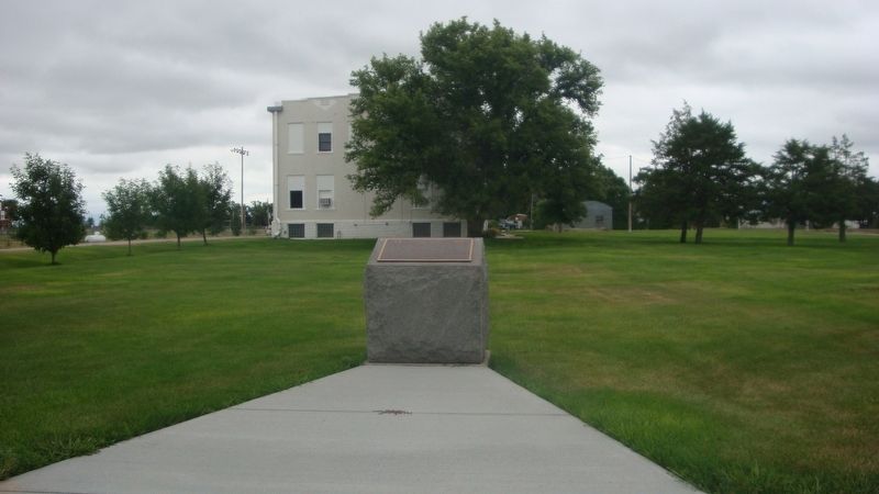
Location. 42° 49.487′ N, 99° 44.835′ W. Marker is in Springview, Nebraska, in Keya Paha County. Marker is at the intersection of Nash Street and L Street, on the right when traveling north on Nash Street. Touch for map. Marker is in this post office area: Springview NE 68778, United States of America. Touch for directions.
Other nearby markers. At least 3 other markers are within 3 miles of this marker, measured as the crow flies. Keya Paha County War Memorial (within shouting distance of this marker); a different marker also named Keya Paha County War Memorial (within shouting distance of this marker); Homestead of David and Kate Clopton (approx. 2.7 miles away).
Credits. This page was last revised on December 3, 2023. It was originally submitted on December 3, 2023, by Roger Dean Meyer of Yankton, South Dakota. This page has been viewed 50 times since then and 18 times this year. Photos: 1, 2, 3. submitted on December 3, 2023, by Roger Dean Meyer of Yankton, South Dakota.


