North Salem in Westchester County, New York — The American Northeast (Mid-Atlantic)
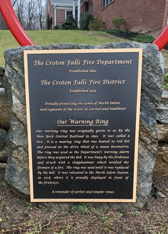
Our Warning Ring
Croton Falls Fire Department
Established 1892
The Croton Falls Fire District
Established 1939
Proudly protecting the town of North Salem and segments of the towns of Carmel and Southeast
Our Warning Ring
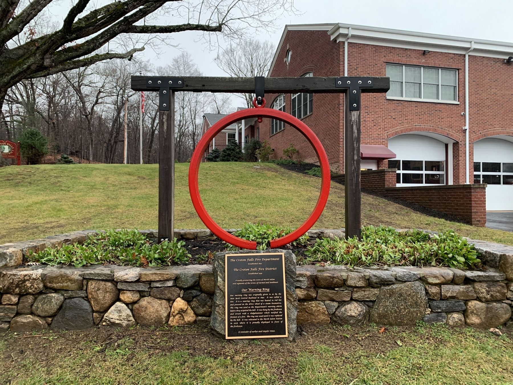
Our warning ring was originally given to us by the New York Central Railroad in 1892. It was called a tire. It is a wearing ring that was heated to red hot and pressed on the drive wheel of a steam locomotive. The ring was used as the Department's warning alarm before they acquired the bell. It was hung by the firehouse and struck with a sledgehammer which notified the firemen of a fire. The ring was used until it was replaced by the bell. It was relocated to the North Salem Station in 2018, where it is proudly displayed in front of the firehouse.
A reminder of earlier and simpler times.
Topics and series. This historical marker is listed in these topic lists: Charity & Public Work • Communications. In addition, it is included in the Historic Bells series list. A significant historical year for this entry is 1892.
Location. 41° 19.674′ N, 73° 35.204′ W. Marker is in North Salem, New York, in Westchester County. Marker is on Titicus Road (New York State Route 116) east of June Road, on the left when traveling west. Touch for map. Marker is at or near this postal address: 301 Titicus Road, North Salem NY 10560, United States of America. Touch for directions.
Other nearby markers. At least 8 other markers are within 4 miles of this marker, measured as the crow flies. June Cemetery (approx. ¼ mile away); North Salem World War I Memorial (approx. 0.6 miles away); Balanced Rock (approx. 0.9 miles away); Peach Pond Cemetery (approx. 2.1 miles away); Washington – Rochambeau Revolutionary Route (approx. 3.3 miles away in Connecticut); Drewsclift Cemetery (approx. 3½ miles away); North Salem World War II Memorial (approx. 3.7 miles away); Ridgebury Congregational Church (approx. 3.9 miles away in Connecticut). Touch for a list and map of all markers in North Salem.
Credits. This page was last revised on December 4, 2023. It was originally submitted on December 3, 2023, by Steve Stoessel of Niskayuna, New York. This page has been viewed 54 times since then and 15 times this year. Photos: 1, 2. submitted on December 3, 2023, by Steve Stoessel of Niskayuna, New York. • Andrew Ruppenstein was the editor who published this page.

