Near Reedsport in Douglas County, Oregon — The American West (Northwest)
Jedediah Smith
(1799-1831)
Inscription.
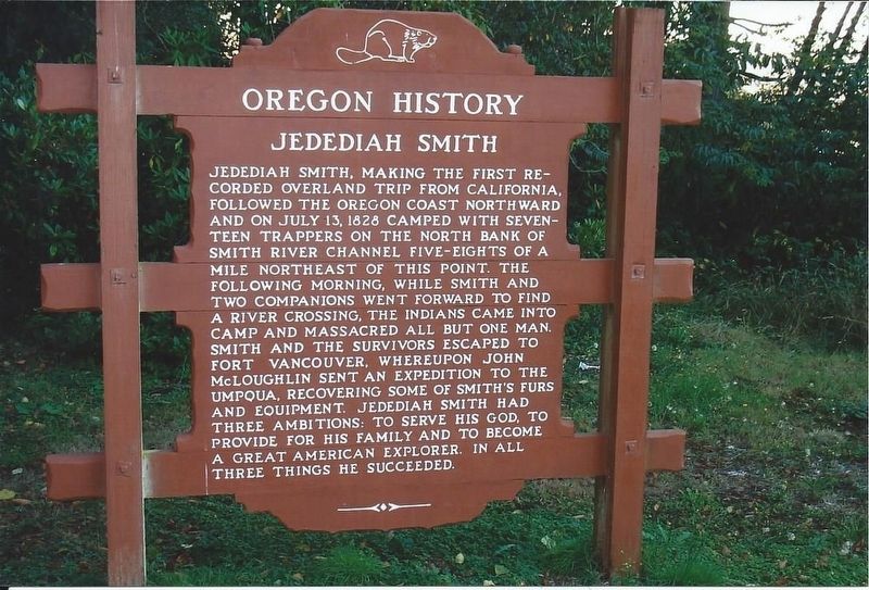
Jedediah Smith, making the first recorded overland trip from California,
followed the Oregon coast northward
and on July 13, 1828 camped with seventeen trappers on the north bank of
Smith River channel five-eights
of a
mile northeast of this point. The
following morning, while Smith and
two companions went forward to find
a river crossing, the Indians came into
camp and massacred all but one man.
Smith and the survivors escaped to
Fort Vancouver, whereupon John
McLoughlin sent an expedition to the
Umpqua, recovering some of Smith’s furs
and equipment. Jedediah Smith had
three ambitions: to serve his God, to
provide for his family and to become
a great American explorer. in all
three things he succeeded.
Erected by Oregon Department of Transportation.
Topics. This historical marker is listed in this topic list: Exploration. A significant historical date for this entry is July 13, 1828.
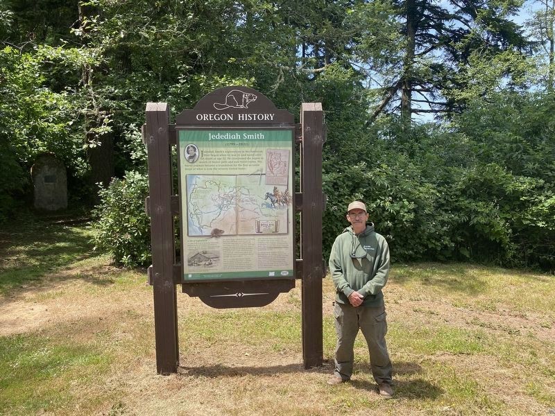
Location. This marker has been replaced by another marker nearby. It was located near 43° 42.757′ N, 124° 5.978′ W. Marker was near Reedsport, Oregon, in Douglas County. Marker was on Oregon Coast Highway (U.S. 101) 0.1 miles south of Lower Smith River Road, on the right when traveling south. Marker is in Tide Ways Island Memorial Park. Touch for map. Marker was in this post office area: Reedsport OR 97467, United States of America. Touch for directions.
Other nearby markers. At least 8 other markers are within 9 miles of this location, measured as the crow flies. A different marker also named Jedediah Smith (here, next to this marker); Smith, Jackson & Sublette Umpqua Memorial (approx. half a mile away); What is a Steam Donkey? (approx. 0.7 miles away); History of Local Steam Donkey (approx. 0.7 miles away); Gardiner (approx. 1.2 miles away); U.S.C.G. Station, Umpqua River, 1939 (approx. 6 miles away); Umpqua River Lighthouse (approx. 6.1 miles away); Brandy Bar (approx. 8.7 miles away). Touch for a list and map of all markers in Reedsport.
Credits. This page was last revised on December 5, 2023. It was originally submitted on December 5, 2023, by Bob Zybach of Creswell, Oregon. This page has been viewed 54 times since then and 22 times this year. Photos: 1, 2. submitted on November 27, 2023, by Bob Zybach of Creswell, Oregon. • J. J. Prats was the editor who published this page.

