Near Rusk in Cherokee County, Texas — The American South (West South Central)
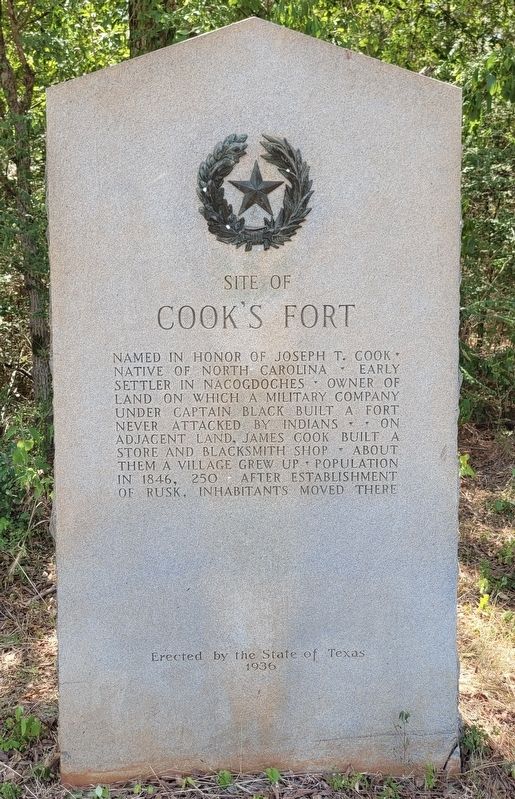
Site of Cook's Fort
Erected 1936 by State of Texas. (Marker Number 6633.)
Topics and series. This historical marker is listed in these topic lists: Forts and Castles • Settlements & Settlers. In addition, it is included in the Texas 1936 Centennial Markers and Monuments series list. A significant historical year for this entry is 1846.
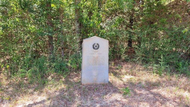
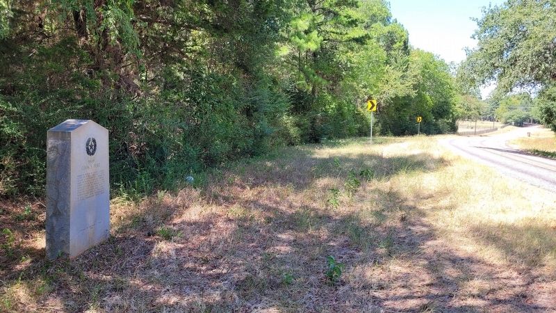
Location. 31° 45.117′ N, 95° 8.02′ W. Marker is near Rusk, Texas, in Cherokee County. Marker is on Farm to Market Road 241, 0.6 miles south of County Highway 2406, on the left when traveling north. The marker is located along the west side of the road. Touch for map. Marker is at or near this postal address: 2005 FM 241, Rusk TX 75785, United States of America. Touch for directions.
Other nearby markers. At least 8 other markers are within 3 miles of this marker, measured as the crow flies. C.S.A. Prisoner of War Compound (approx. 1.1 miles away); Site of Tassie Belle and Star and Crescent Iron Ore Furnaces (approx. 1.9 miles away); Cedar Hill Cemetery (approx. 2.6 miles away); Site of Rusk College (approx. 2.7 miles away); Confederate Training Camp (approx. 3 miles away); First United Methodist Church of Rusk (approx. 3 miles away); First Presbyterian Church of Rusk (approx. 3 miles away); Old Bonner Bank Building (approx. 3.1 miles away). Touch for a list and map of all markers in Rusk.
Also see . . . Cook's Fort. Texas State Historical Association (TSHA) (Submitted on September 4, 2023, by James Hulse of Medina, Texas.)
Credits. This page was last revised on December 6, 2023. It was originally submitted on September 4, 2023, by James Hulse of Medina, Texas. This page has been viewed 95 times since then and 36 times this year. Last updated on December 6, 2023, by Jeff Leichsenring of Garland, Texas. Photos: 1, 2, 3. submitted on September 4, 2023, by James Hulse of Medina, Texas.


