Catawissa in Columbia County, Pennsylvania — The American Northeast (Mid-Atlantic)
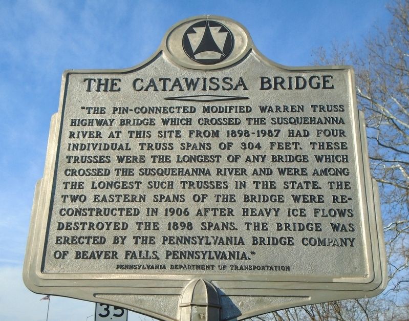
The Catawissa Bridge
Erected by Pennsylvania Department of Transportation.
Topics. This historical marker is listed in this topic list: Bridges & Viaducts. A significant historical year for this entry is 1906.
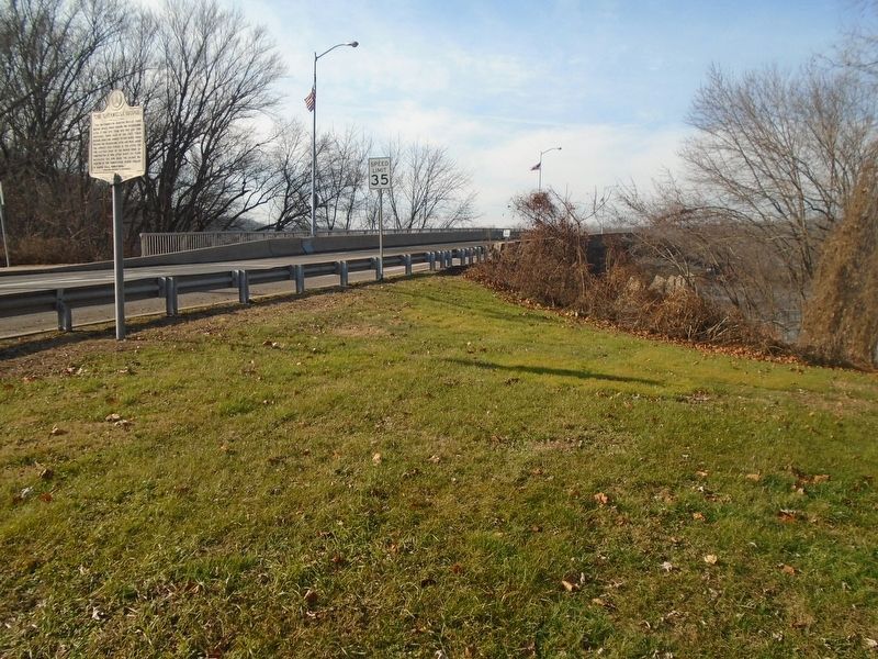
Location. 40° 57.22′ N, 76° 27.93′ W. Marker is in Catawissa, Pennsylvania, in Columbia County. Marker is at the intersection of Main Street and the west approach to the new bridge, on the right when traveling west on Main Street. Touch for map. Marker is in this post office area: Catawissa PA 17820, United States of America. Touch for directions.
Other nearby markers. At least 8 other markers are within 2 miles of this marker, measured as the crow flies. Veterans Memorial (about 300 feet away, measured in a direct line); Catawissa Friends Meeting (approx. 0.3 miles away); a different marker also named Veterans Memorial (approx. 0.4 miles away); Civil War Memorial (approx. half a mile away); Hollingshead Covered Bridge (approx. 0.9 miles away); Native American Inhabitants Memorial (approx. 1.7 miles away); Rupert Covered Bridge (approx. 1.9 miles away); a different marker also named Rupert Covered Bridge (approx. 2 miles away). Touch for a list and map of all markers in Catawissa.
Also see . . . Catawissa Bridge Historical Photos (Library of Congress). (Submitted on December 9, 2023, by William Fischer, Jr. of Scranton, Pennsylvania.)
Credits. This page was last revised on December 9, 2023. It was originally submitted on December 9, 2023, by William Fischer, Jr. of Scranton, Pennsylvania. This page has been viewed 46 times since then and 11 times this year. Photos: 1, 2. submitted on December 9, 2023, by William Fischer, Jr. of Scranton, Pennsylvania.

