Fort York in Toronto, Ontario — Central Canada (North America)
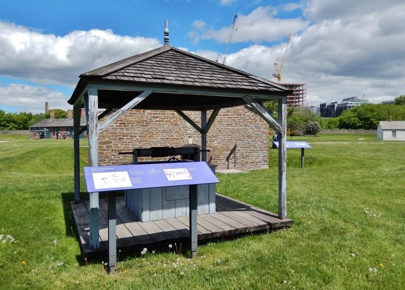
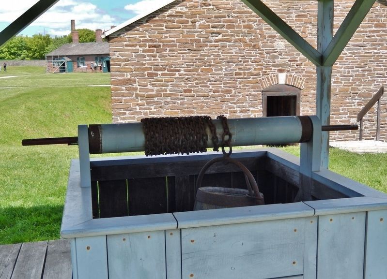
Well and Well House
1802, 2007
Besides using well water, the army had contractors draw lake water from locations away from shoreline pollution. Rainwater was collected in underground tanks connected to building downspouts. The City of Toronto began supplying piped water here in the 1890s.
Topics. This historical marker is listed in these topic lists: Architecture • Forts and Castles. A significant historical year for this entry is 1802.
Location. 43° 38.316′ N, 79° 24.224′ W. Marker is in Toronto, Ontario. It is in Fort York. Marker can be reached from Fort York Boulevard, 0.2 kilometers north of Lake Shore Boulevard West. The marker is located along the interpretive walkway at Fort York National Historic Site. Touch for map. Marker is at or near this postal address: 250 Fort York Boulevard, Toronto ON M5V 3K9, Canada. Touch for directions.
Other nearby markers. At least 8 other markers are within walking distance of this marker. Stone Magazine (a few steps from this marker); Government House (within shouting distance of this marker); North and South Soldiers' Barracks (within shouting distance of this marker); Circular, or Government House, Battery (within shouting distance of this marker); Fort York / Le Fort York (within shouting distance of this marker); Officers' Brick Barracks and Mess Establishment (about 90 meters away, measured in a direct line); Officers' Blue Barracks (about 90 meters away); No. 2 (Centre) Blockhouse (about 90 meters away). Touch for a list and map of all markers in Toronto.
Related markers. Click here for a list of markers that are related to this marker. Fort York National Historic Site
Also see . . . Fort York National Historic Site. Excerpt:
The Fort York National Historic Site was built in 1793 and is the birthplace of urban Toronto. The Fort served as the city’s primary harbour defence between the 1790s and the 1880s and was the home of a military garrison until the 1930s. Fort York is where British soldiers, First Nations warriors and Upper Canadian militiamen stood together against the United States and its mission to capture Toronto in the War of 1812. The bloody Battle of York that ensued was a dark and dramatic moment in the history of the city.(Submitted on December 10, 2023, by Cosmos Mariner of Cape Canaveral, Florida.)

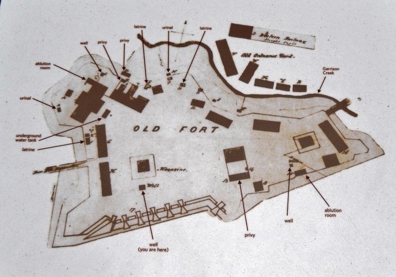
Library and Archives Canada, NMC 5382
2. Marker detail: Man-made Water Features at the Fort
This plan shows some of the man-made water features of the site at the time of the fort's transfer from Britain to Canada: three wells; one underground water tank; three latrines; three privies; two urinals; and two ablution rooms. All drainage was underground by this time. (Map by Lieutenant Donald Mien, Royal Engineers, 1871.)
Credits. This page was last revised on December 10, 2023. It was originally submitted on December 10, 2023, by Cosmos Mariner of Cape Canaveral, Florida. This page has been viewed 44 times since then and 7 times this year. Photos: 1, 2, 3, 4, 5. submitted on December 10, 2023, by Cosmos Mariner of Cape Canaveral, Florida.


