Fort York in Toronto, Ontario — Central Canada (North America)
Officers' Blue Barracks
1814, 1934, 2000
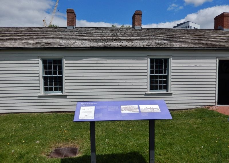
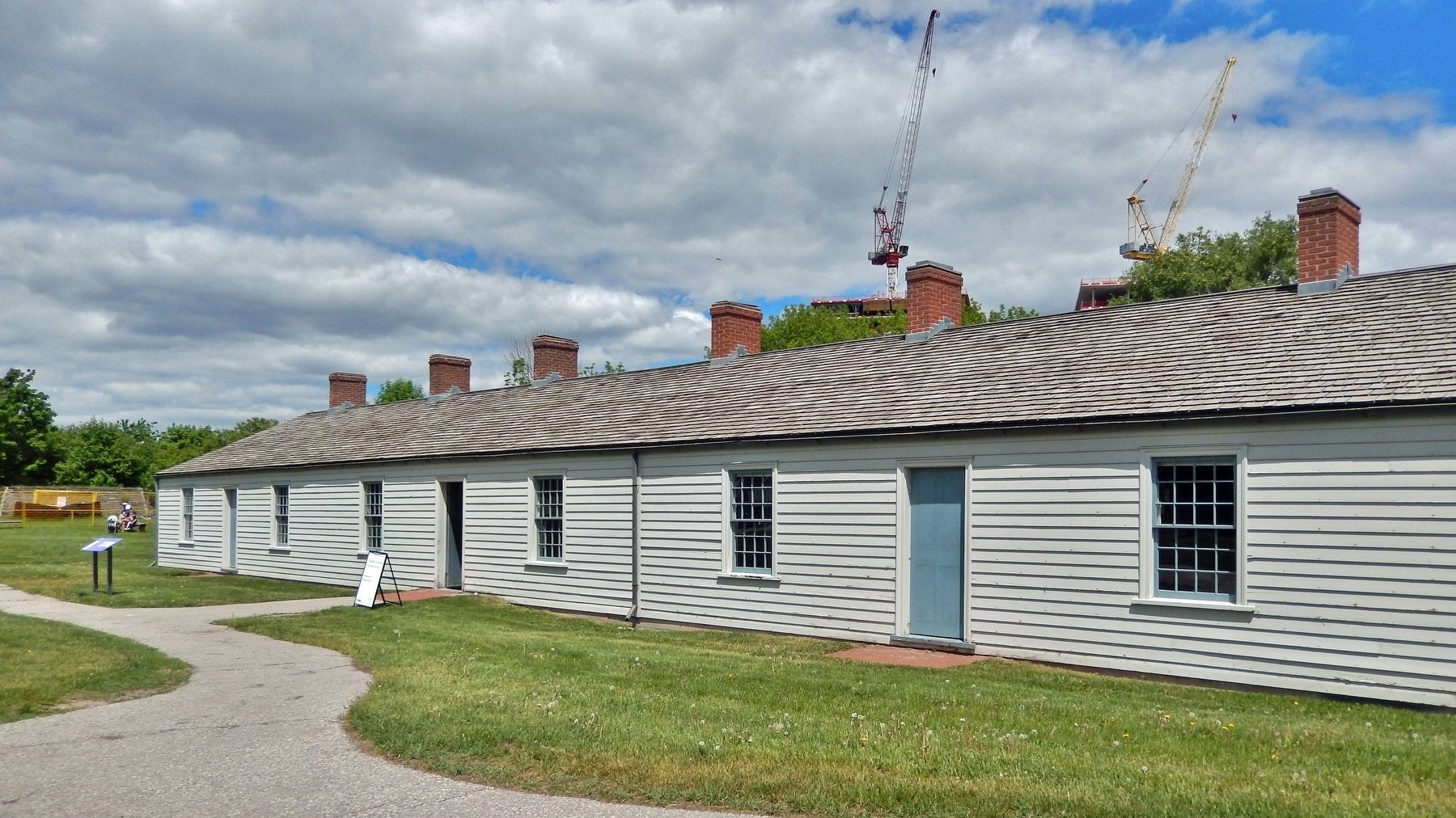
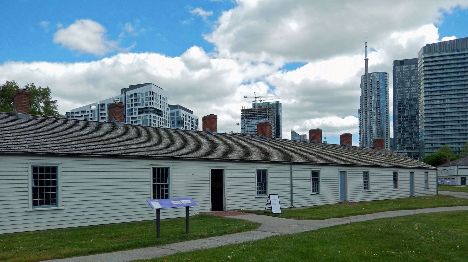
The Officers’ Blue Barracks housed junior officers: ensigns, lieutenants and some captains. Unlike the other structures in the fort, which are original to 1813-15, this building is largely a reconstruction.
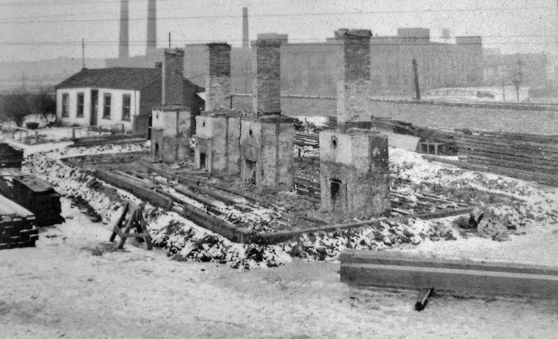
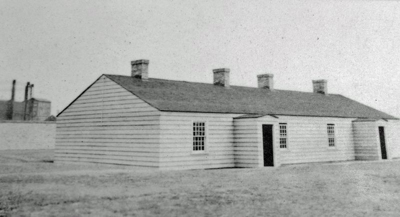
The army tore down the barracks' eastern half in 1838 to improve the field of fire from the adjacent blockhouse. The remaining building could not be restored in the 1930s because of decay, so it was taken down, except for its chimneys, and rebuilt using as much of the original material as possible. In 2000, the 'lost' half was reconstructed to reflect its 1814 exterior, but with a modern interior.
Topics. This historical marker is listed in these topic lists: Architecture • Forts and Castles. A significant historical year for this entry is 1814.
Location. 43° 38.354′ N, 79° 24.192′ W. Marker is in Toronto, Ontario. It is in Fort York. Marker can be reached from Fort York Boulevard, 0.2 kilometers north of Lake Shore Boulevard West. The marker is located along the interpretive walkway at Fort York National Historic Site. Touch for map. Marker is at or near this postal address: 250 Fort York Boulevard, Toronto ON M5V 3K9, Canada. Touch for directions.
Other nearby markers. At least 8 other markers are within walking distance of this marker. No. 2 (Centre) Blockhouse (within shouting distance of this marker); Fort York / Le Fort York (within shouting distance of this marker); Government House (within shouting distance of this marker); Circular, or Government House, Battery (within shouting distance of this marker); Stone Magazine (within shouting distance of this marker); Brick Magazine (within shouting distance of this marker); Well and Well House (about 90 meters away, measured in a direct line); Officers' Brick Barracks and Mess Establishment (about 90 meters away). Touch for a list and map of all markers in Toronto.
Related markers. Click here for a list of markers that are related to this marker. Fort York National Historic Site
Also see . . . Fort York National Historic Site. Excerpt:
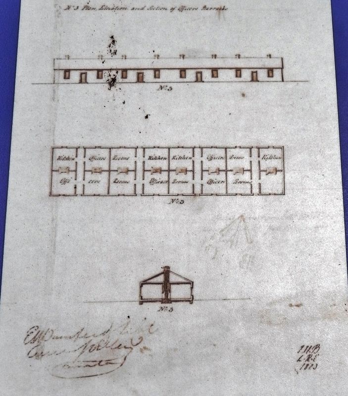
The Fort York National Historic Site was built in 1793 and is the birthplace of urban Toronto. The Fort served as the city’s primary harbour defence between the 1790s and the 1880s and was the home of a military garrison until the 1930s. Fort York is where British soldiers, First Nations warriors and Upper Canadian militiamen stood together against the United States and its mission to capture Toronto in the War of 1812. The bloody Battle of York that ensued was a dark and(Submitted on December 11, 2023, by Cosmos Mariner of Cape Canaveral, Florida.)dramatic moment in the history of the city.Library and Archives Canada, H3/450/ Toronto/18232. Marker detail: Blue Barracks Plan, 1823The Blue Barracks had private officers' rooms and kitchens, although officers normally took their main meal of the day in the neighbouring Officers' Brick Barracks and Mess Establishment. (Plan by Lieutenant Elias Durnford, Royal Engineers, 1823.)
Credits. This page was last revised on December 11, 2023. It was originally submitted on December 10, 2023, by Cosmos Mariner of Cape Canaveral, Florida. This page has been viewed 57 times since then and 20 times this year. Photos: 1, 2, 3, 4, 5, 6, 7. submitted on December 11, 2023, by Cosmos Mariner of Cape Canaveral, Florida.

