Grier Heights in Charlotte in Mecklenburg County, North Carolina — The American South (South Atlantic)
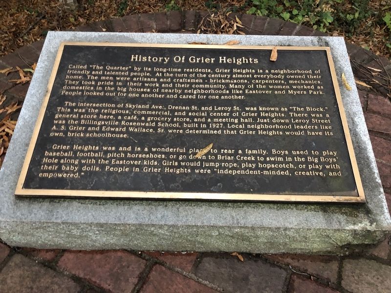
History of Grier Heights
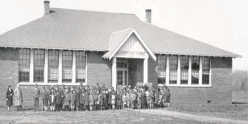
The intersection of Skyland Ave., Drenan St. and Leroy St. was known as “The Block.” This was the religious, commercial, and social center of Grier Heights. There was a general store here, a café, a grocery store, and a meeting hall. Just down Leroy Street was the Billingsville Rosenwald School, built in 1927. Local neighborhood leaders like A.S. Grier and Edward Wallace, Sr. were determined that Grier Heights would have its own, brick schoolhouse.
Grier Heights was and is a wonderful place to rear a family. Boys used to play baseball, football, pitch horseshoes, or go down to Briar Creek to swim in the Big Boys' Hole along with the Eastover kids. Girls would jump rope, play hopscotch, or play with their baby dolls. People in Grier Heights were “independent-minded, creative, and empowered.”
Topics. This historical marker is listed in these topic lists: African Americans • Notable Places. A significant historical year for this entry is 1927.
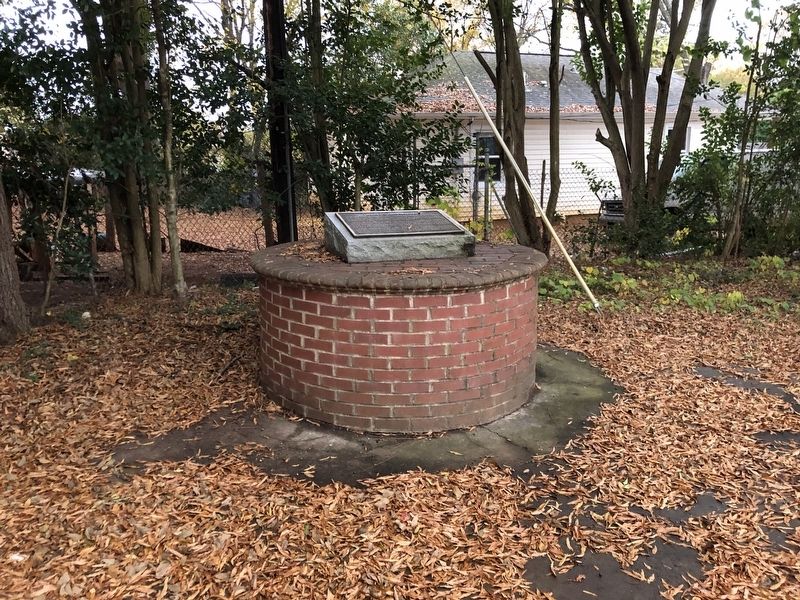
Location. 35° 11.87′ N, 80° 48.477′ W. Marker is in Charlotte, North Carolina, in Mecklenburg County. It is in Grier Heights. Marker is at the intersection of Skyland Avenue and Sam Drenan Boulevard, on the right when traveling north on Skyland Avenue. Marker is in Grier Park. Touch for map. Marker is at or near this postal address: 138 Skyland Ave, Charlotte NC 28205, United States of America. Touch for directions.
Other nearby markers. At least 8 other markers are within 2 miles of this marker, measured as the crow flies. Sam Billings (a few steps from this marker); Mint Museum of Art (approx. 0.3 miles away); James Buchanan Duke House (approx. 1.1 miles away); Mary Duke Biddle Trent Semans (approx. 1.2 miles away); Site of the First Court Held in Mecklenburg County (approx. 1.2 miles away); Harry Golden (approx. 1½ miles away); Queens University of Charlotte (approx. 1½ miles away); Cherry Neighborhood History (approx. 1.6 miles away). Touch for a list and map of all markers in Charlotte.
Also see . . .
1. History of Grier Heights (Grier Town). Grier Heights’ identity as a Black community runs all the way back to the 1890s, when Sam Billings, a formerly enslaved man, bought 100 acres of land in the area — the first recorded time an African-American bought land in Charlotte. (J. Murrey Atkins Library, University of North Carolina-Charlotte) (Submitted on December 12, 2023, by Duane and Tracy Marsteller of Murfreesboro, Tennessee.)
2. Grier Heights a Proud and Historically Progressive Neighborhood. Grier Heights was begun in 1886 with four houses. It was initially a farming community with land selling for $18.00 per acre. (Grier Heights Community Improvement Organization, via Neighborhood Link National Network) (Submitted on December 12, 2023, by Duane and Tracy Marsteller of Murfreesboro, Tennessee.)
3. FAQ City: What Happened to Grier Heights?. Charlotte is made up of a lot of different neighborhoods. One of those neighborhoods is Grier Heights, a historically Black neighborhood. The area is filled with history, but also is planning for its future. (WFAE-FM, Feb. 23, 2021) (Submitted on December 12, 2023, by Duane and Tracy Marsteller of Murfreesboro, Tennessee.)
4. Billingsville School (PDF). National Register of Historic Places nomination for the Rosenwald School, which was listed in 1999. (Prepared by Frances Alexander; via National Archives) (Submitted on December 12, 2023, by Duane and Tracy Marsteller of Murfreesboro, Tennessee.)

via Charlotte-Mecklenburg Library (Public Domain), 1929
3. Billingsville School
The school was named for Sam Billings (1848-1933), who sold two acres and donated another acre for the school. A four-teacher frame schoolhouse was initially built, and Grier Heights residents raised additional money to add a brick veneer. A combined elementary and junior-high school into the 1950s, it now is a community center.
Credits. This page was last revised on December 12, 2023. It was originally submitted on December 12, 2023, by Duane and Tracy Marsteller of Murfreesboro, Tennessee. This page has been viewed 82 times since then and 25 times this year. Photos: 1, 2, 3. submitted on December 12, 2023, by Duane and Tracy Marsteller of Murfreesboro, Tennessee.

