Midland in Cabarrus County, North Carolina — The American South (South Atlantic)
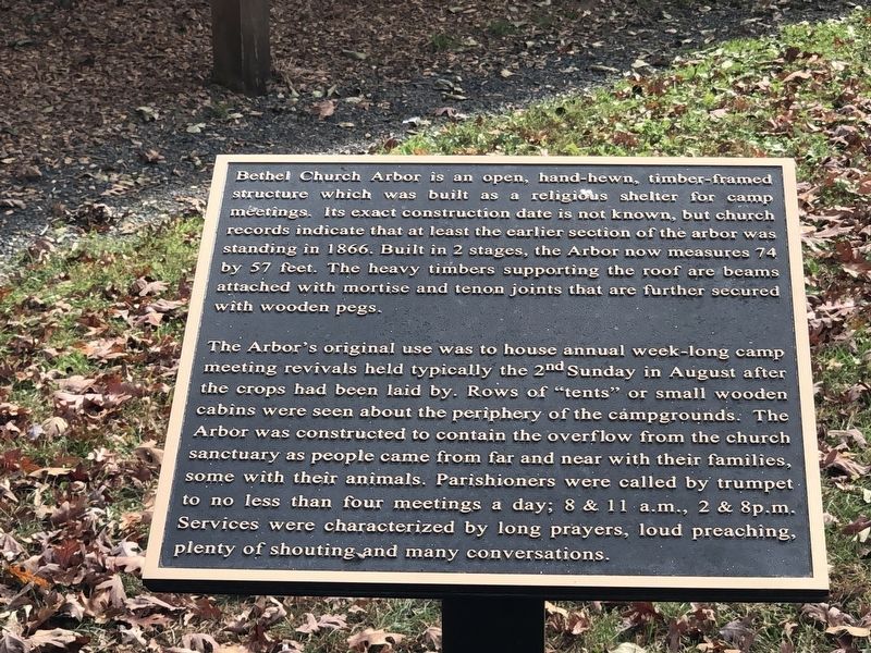
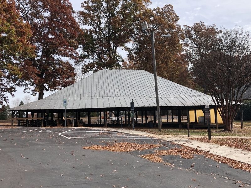
Bethel Church Arbor
The Arbor's original use was to house annual week-long camp meeting revivals held typically the 2nd Sunday in August after the crops had been laid by. Rows of "tents" or small wooden cabins were seen about the periphery of the campgrounds. The Arbor was constructed to contain the overflow from the church sanctuary as people came from far and near with their families, some with their animals. Parishioners were called by trumpet. to no less than four meetings a day; 8 & 11 a.m., 2 & 8p.m. Services were characterized by long prayers, loud preaching, plenty of shouting and many conversations.
Topics and series. This historical marker is listed in these topic lists: Architecture • Churches & Religion • Notable Buildings. In addition, it is included in the National Register of Historic Places series list. A significant historical year for this entry is 1866.
Location. 35° 14.455′ N, 80° 32.199′ W. Marker is in Midland, North Carolina, in Cabarrus County. Marker can be reached from Idlebrook Road, 0.1 miles east of Bethel Church Road when traveling east. Marker is behind Bethel Church. Touch for map. Marker is at or near this postal address: 12700 Idlebrook Rd, Midland NC 28107, United States of America. Touch for directions.
Other nearby markers. At least 8 other markers are within 8 miles of this marker, measured as the crow flies. A different marker also named Bethel Church Arbor (about 600 feet away, measured in a direct line); Reed Gold Mine (approx. 4 miles away); Rocky River Church (approx. 5.7 miles away); Commemorating Rocky River Presbyterian Church (approx. 5.8 miles away); Adam Alexander (approx. 6 miles away); Rocky Spring Burial Ground (approx. 6 miles away); Philadelphia Presbyterian Church (approx. 7.7 miles away); Historic Bain Academy (approx. 7.7 miles away). Touch for a list and map of all markers in Midland.
Also see . . . Bethel Church Arbor (PDF). National Register of Historic Places nomination for the arbor, which was listed in 1997. (Prepared by Sue G. Russell; via National Archives) (Submitted on December 16, 2023, by Duane and Tracy Marsteller of Murfreesboro, Tennessee.)
Credits. This page was last revised on December 16, 2023. It was originally submitted on December 16, 2023, by Duane and Tracy Marsteller of Murfreesboro, Tennessee. This page has been viewed 39 times since then and 7 times this year. Photos: 1, 2. submitted on December 16, 2023, by Duane and Tracy Marsteller of Murfreesboro, Tennessee.

