Oakville in Halton Region, Ontario — Central Canada (North America)
West Harbour
— Sixteen Mile Creek Trail —
Oakville Heritage Trails
Tannery Park
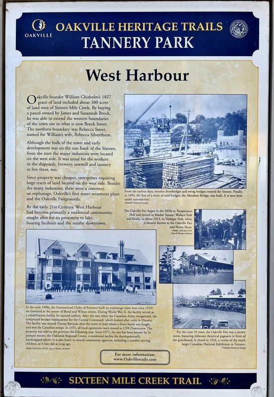
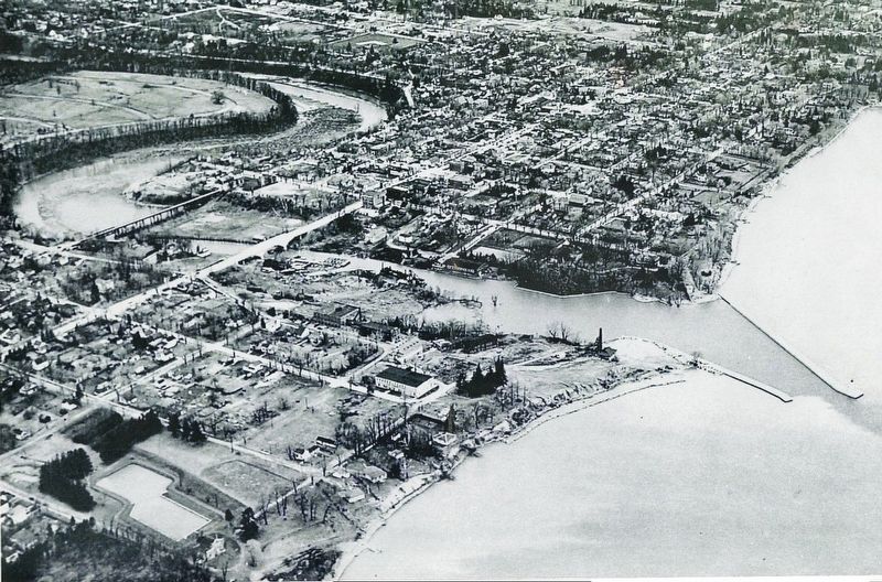
Oakville founder William Chisholm's 1827 grant of land included about 300 acres of land west of Sixteen Mile Creek. By buying a parcel owned by James and Susannah Brock, he was able to extend the western boundaries of the town site to what is now Brock Street.The northern boundary was Rebecca Street, named for William's wife, Rebecca Silverthorn.
Although the bulk of the town and early development was on the east bank of the Sixteen, from the start the major industries were located on the west side. It was usual for the workers in the shipyards, brewery, sawmill and tannery to live there, too.
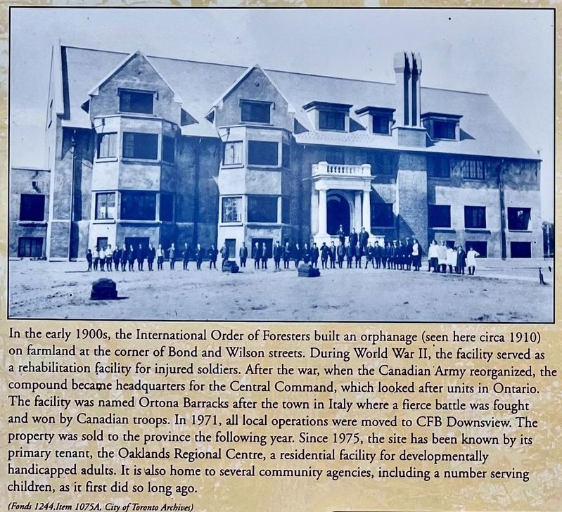
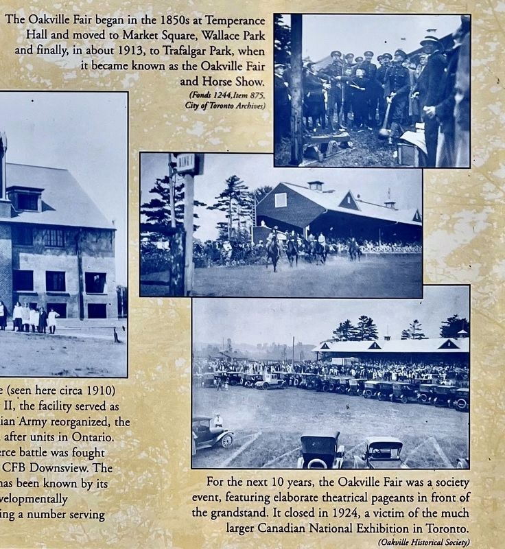
Since property was cheaper, enterprises requiring large tracts of land located on the west side. Besides the many industries, there were a cemetery, an orphanage, Oakville's first water treatment plant and the Oakville Fairgrounds. By the early 21st Century, West Harbour had become primarily a residential community, sought after for its proximity to lake, boating facilities and the nearby downtown.
Topics. This historical marker is listed in these topic lists: Industry & Commerce • Settlements & Settlers. A significant historical year for this entry is 1827.
Location. 43° 26.405′ N, 79° 40.106′ W. Marker is in Oakville, Ontario , in Halton Region. Marker is on Walker Street, 0.1 kilometers east of Chisholm Street, on the right when traveling east. The marker is in Tannery Park. Touch for map. Marker is at or near this postal address: 5 Walker Street, Oakville ON L6K 3R7, Canada. Touch for directions.
Other nearby markers. At least 8 other markers are within walking distance of this marker. The Temperance Movement (here, next to this marker); The Tannery (here, next to this marker); Life “Over the Creek” (here, next to this marker); H.M.C.S. Oakville (within shouting distance of this marker); HMCS Oakville (within shouting distance of this marker); Colonel William Chisholm (approx. 0.3 kilometers away); The Lock-up & Town Hall (approx. 0.3 kilometers away); Commercial Buildings (approx. 0.3 kilometers away). Touch for a list and map of all markers in Oakville.
Credits. This page was last revised on December 19, 2023. It was originally submitted on December 18, 2023, by Tim Boyd of Hamilton, Ontario. This page has been viewed 45 times since then and 6 times this year. Photos: 1, 2, 3, 4, 5, 6. submitted on December 18, 2023, by Tim Boyd of Hamilton, Ontario. • Andrew Ruppenstein was the editor who published this page.
