Sherman in Grayson County, Texas — The American South (West South Central)
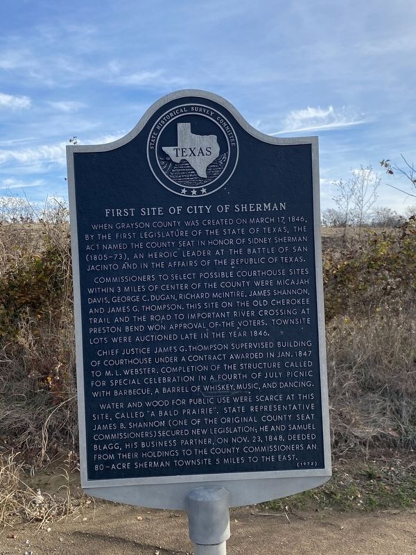
First Site of City of Sherman
Commissioners to select possible courthouse sites within 3 miles of center of the county were Micajah Davis, George C. Dugan, Richard McIntire, James Shannon, and James G. Thompson. This site on the old Cherokee Trail and the road to important river crossing at Preston Bend won approval of the voters. Townsite lots were auctioned late in the year 1846.
Chief Justice James G. Thompson supervised building of courthouse under a contract awarded in Jan. 1847 to M. L. Webster. Completion of the structure called for special celebration in a Fourth of July picnic with barbeque, a barrel of whiskey, music, and dancing.
Water and wood for public use were scarce at this site, called "a bald prairie". State Representative James B. Shannon (one of the original county seat commissioners) secured new legislation; he and Samuel Blagg, his business partner, on Nov. 23, 1848, deeded from their holdings to the county commissioners an 80-acre Sherman townsite 5 miles to the east.
Incise on back:
Sponsored by the Grayson County Historical survey committee and erected by the Sherman city council as a memorial to the pioneers of this area.
Erected 1972 by State Historical Survey Committee. (Marker Number 11534.)
Topics. This historical marker is listed in this topic list: Settlements & Settlers. A significant historical date for this entry is March 17, 1846.
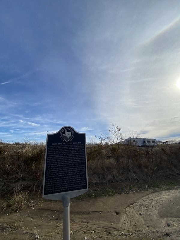
Location. 33° 40.7′ N, 96° 41.894′ W. Marker is in Sherman, Texas, in Grayson County. Marker is at the intersection of Texas Route 289 and Double D Ranch Road, on the right when traveling north on State Route 289. Touch for map. Marker is at or near this postal address: 3970 N 289, Sherman TX 75092, United States of America. Touch for directions.
Other nearby markers. At least 8 other markers are within 6 miles of this marker, measured as the crow flies. Perrin Air Force Base (approx. 3 miles away); The Great Sherman Storm of 1896 (approx. 5.4 miles away); Lyon House (approx. 5˝ miles away); Sherman Little Theater (approx. 5.6 miles away); First United Methodist Church of Sherman, Texas (approx. 5.6 miles away); Kidd-Key College and Music Conservatory (approx. 5.6 miles away); Site of Old Sherman Opera House (approx. 5.8 miles away); Site of Binkley Hotel (approx. 5.8 miles away). Touch for a list and map of all markers in Sherman.
Credits. This page was last revised on December 21, 2023. It was originally submitted on December 19, 2023, by Morgan Petermann of Irving, Texas. This page has been viewed 55 times since then and 22 times this year. Photos: 1, 2. submitted on December 19, 2023, by Morgan Petermann of Irving, Texas. • James Hulse was the editor who published this page.

