Death Valley National Park in Inyo County, California — The American West (Pacific Coastal)
Warm Springs Camp
Death Valley National Park
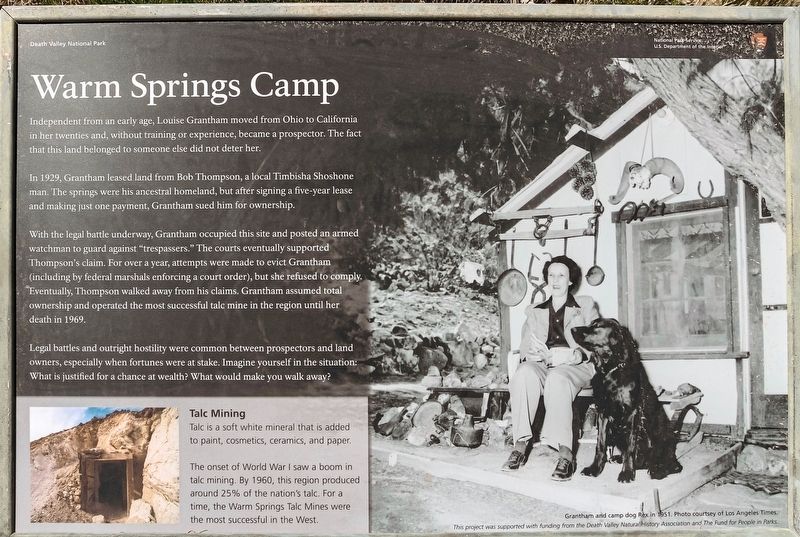
Independent from an early age, Louise Grantham moved from Ohio to California in her twenties and, without training or experience, became a prospector. The fact that this land belonged to someone else did not deter her.
In 1929, Grantham leased land from Bob Thompson, a local Timbisha Shoshone man. The springs were his ancestral homeland, but after signing a five year lease and making just one payment, Grantham sued him for ownership.
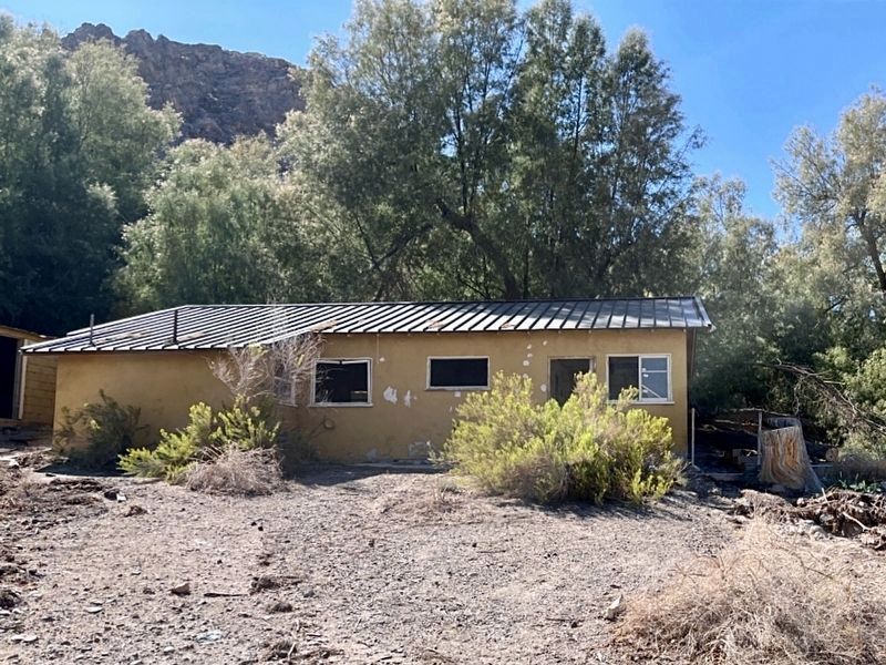
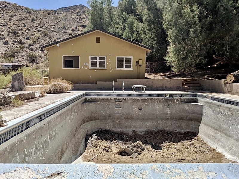
With the legal battle underway, Grantham occupied this site and posted an armed watchman to guard against "trespassers." The courts eventually supported Thompson's claim. For over a year, attempts were made to evict Grantham (including by federal marshals enforcing a court order), but she refused to comply. Eventually, Thompson walked away from his claims. Grantham assumed total ownership and operated the most successful talc mine in the region until her death in 1969.
Legal battles and outright hostility were common between prospectors and land owners, especially when fortunes were at stake. Imagine yourself in the situation: What is justified for a chance at wealth? What would make you walk away?
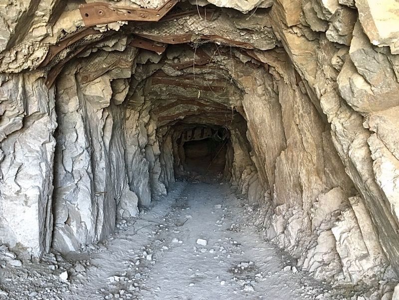
Talc Mining
Talc is a soft white mineral that is added to paint, cosmetics, ceramics, and paper. The onset of World War I saw a boom in talc mining. By 1960, this region produced around 25% of the nation's talc. For a time, the Warm Springs Talc Mines were the most successful in the West.
Erected by National Park Service; Death Valley Natural History Association; and The Fund for People in Parks.
Topics. This historical marker is listed in these topic lists: Industry & Commerce • Natural Resources. A significant historical year for this entry is 1929.
Location. 35° 58.078′ N, 116° 55.882′ W. Marker is in Death Valley National Park, California, in Inyo County. Marker is on Warm Springs Road, 11 miles west of West Side Road, on the left when traveling west. Four wheel drive high clearance vehicle recommended. Touch for map. Marker is in this post office area: Death Valley CA 92328, United States of America. Touch for directions.
Other nearby markers. At least 2 other markers are within 14 miles of this marker, measured as the crow flies. Barker Ranch (approx. 11.6 miles away); Bennett-Arcan Long Camp (approx. 14 miles away).
Credits. This page was last revised on February 7, 2024. It was originally submitted on December 21, 2023, by Craig Baker of Sylmar, California. This page has been viewed 90 times since then and 45 times this year. Photos: 1, 2, 3, 4, 5. submitted on December 21, 2023, by Craig Baker of Sylmar, California.
