Flower Mound in Denton County, Texas — The American South (West South Central)
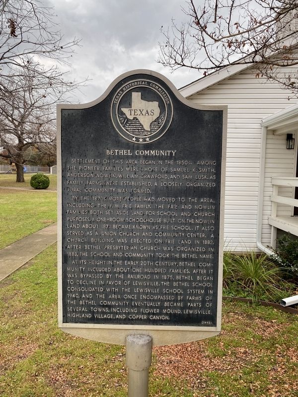
Bethel Community
By the 1870s more people had moved to the area, including the F.M. Frie family. The Frie and Nowlin families both set aside land for school and church purposes. A one-room schoolhouse built on the Nowlin land about 1871 became known as Frie School. It also served as a Union church and community center. A church building was erected on Frie land in 1882. After Bethel Presbyterian Church was organized in 1883, the school and community took the Bethel name.
At its height in the early 20th century, Bethel community included about one hundred families. After it was bypassed by the railroad in 1875, Bethel began to decline in favor of Lewisville. The Bethel School consolidated with the Lewisville School system in 1940, and the area once encompassed by farms of the Bethel Community eventually became parts of several towns, including Flower Mound, Lewisville, Highland Village, and Copper Canyon.
Erected 1990 by Texas Historical Commission. (Marker Number 389.)
Topics. This historical marker is listed in this topic list: Settlements & Settlers .
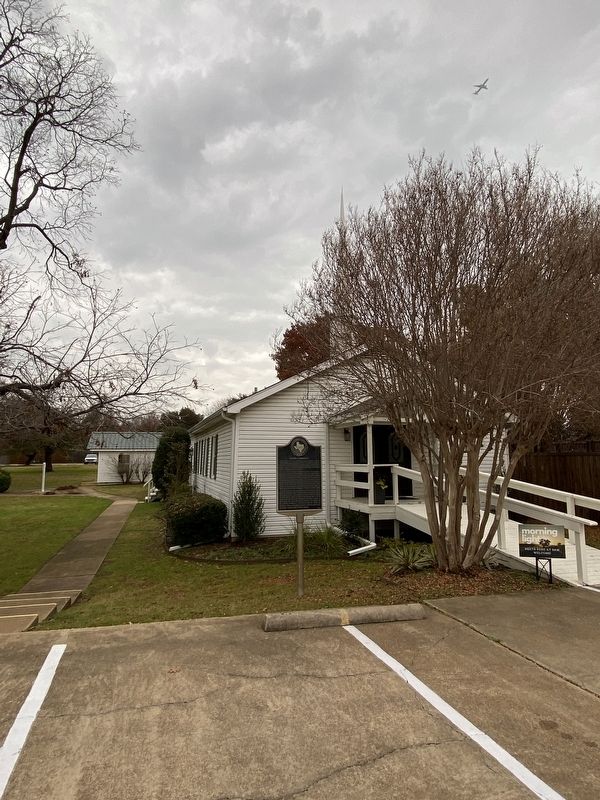
Location. 33° 3.661′ N, 97° 3.624′ W. Marker is in Flower Mound, Texas, in Denton County. Marker is on Kirkpatrick Lane, 0.1 miles east of Morriss Road, on the left when traveling east. Touch for map. Marker is at or near this postal address: 2100 Kirkpatrick Ln, Flower Mound TX 75028, United States of America. Touch for directions.
Other nearby markers. At least 8 other markers are within 4 miles of this marker, measured as the crow flies. McCurley Cemetery (approx. 1.9 miles away); Chinn's Chapel Methodist Church (approx. 2 miles away); Chinn’s Chapel Cemetery (approx. 2.3 miles away); The Peters Colony (approx. 2˝ miles away); McCombs Cemetery (approx. 2.6 miles away); Flower Mound (approx. 3.3 miles away); Flower Mound Presbyterian Church (approx. 3.3 miles away); Lewisville Prehistoric Site (approx. 4 miles away). Touch for a list and map of all markers in Flower Mound.
Credits. This page was last revised on December 21, 2023. It was originally submitted on December 21, 2023, by Morgan Petermann of Irving, Texas. This page has been viewed 55 times since then and 16 times this year. Photos: 1, 2. submitted on December 21, 2023, by Morgan Petermann of Irving, Texas. • James Hulse was the editor who published this page.

