Argyle in Denton County, Texas — The American South (West South Central)
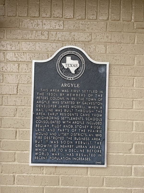
Argyle
Erected 1981 by Texas Historical Commission. (Marker Number 195.)
Topics. This historical marker is listed in this topic list: Settlements & Settlers. A significant historical year for this entry is 1881.
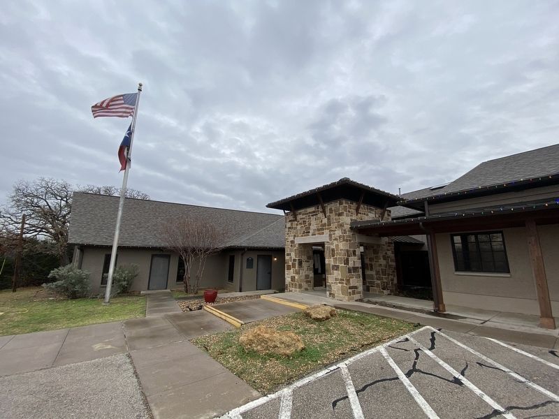
Location. 33° 7.251′ N, 97° 10.946′ W. Marker is in Argyle, Texas, in Denton County. Marker is at the intersection of Denton Street E and Walnut Street, on the left when traveling west on Denton Street E. Touch for map. Marker is at or near this postal address: 308 Denton St E, Argyle TX 76226, United States of America. Touch for directions.
Other nearby markers. At least 8 other markers are within 5 miles of this marker, measured as the crow flies. Graham Argyle Cemetery (approx. ¾ mile away); Argyle United Methodist Church (approx. 1.4 miles away); Johns' Well and Campgrounds (approx. 1.6 miles away); Prairie Mound Cemetery (approx. 2.6 miles away); Annie Webb Blanton (approx. 3.4 miles away); Bartonville (approx. 4.3 miles away); Old Alton Bridge (approx. 4.6 miles away); Old Alton Cemetery (approx. 4.6 miles away). Touch for a list and map of all markers in Argyle.
Credits. This page was last revised on December 22, 2023. It was originally submitted on December 21, 2023, by Morgan Petermann of Irving, Texas. This page has been viewed 65 times since then and 29 times this year. Photos: 1, 2. submitted on December 21, 2023, by Morgan Petermann of Irving, Texas. • James Hulse was the editor who published this page.

