Montgomery County / Roanoke County
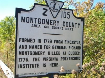
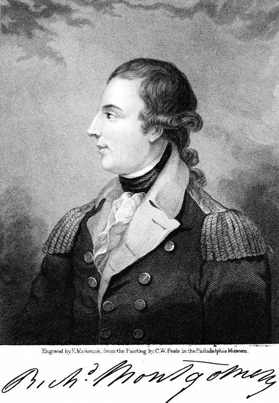
Montgomery County. Area 401 Square Miles. Formed in 1776 from Fincastle, and named for General Richard Montgomery, killed at Quebec, 1775. The Virginia Polytechnic Institute is here.
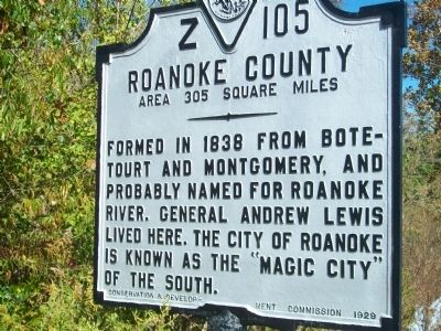
Roanoke County. Area 305 Square Miles.. Formed in 1838 from Botetourt and Montgomery, and probably named for Roanoke River. General Andrew Lewis lived here. The city of Roanoke is known as the "Magic City" of the south.
Erected 1929 by Conservation and Development Commission. (Marker Number Z-105.)
Topics and series. This historical marker is listed in this topic list: Notable Places. In addition, it is included in the Virginia Department of Historic Resources (DHR) series list. A significant historical year for this entry is 1776.
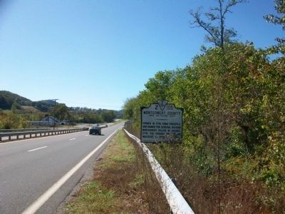
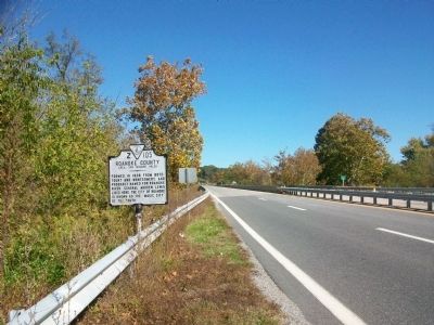
Location. 37° 14.044′ N, 80° 11.595′ W. Marker is near Elliston, Virginia, in Montgomery County. Marker is on Roanoke Road (U.S. 11), on the right when traveling south. On the Montgomery County / Roanoke County border just south of the Roanoke River. Touch for map. Marker is at or near this postal address: 6584 Stones Keep Ln, Elliston VA 24087, United States of America. Touch for directions.
Other nearby markers. At least 8 other markers are within 7 miles of this marker, measured as the crow flies. The “Bowstring” Truss Bridge (approx. 1.8 miles away); Bow String Arch Truss
Also see . . . Roanoke, Virginia, 1882-1912: Magic City of the New South. Roanoke is now more often called the Star City, due to its electronic star atop Mill Mountain. However, when this marker was erected ni 1929, Roanoke indeed was referred to as the Magic City of the New South. Read more about why in this book written by Rand Dotson and published by the University of Tennessee Press in 2007. (Submitted on November 4, 2009.)
Credits. This page was last revised on July 8, 2021. It was originally submitted on October 29, 2009, by Kathy Walker of Stafford, Virginia. This page has been viewed 685 times since then and 34 times this year. Photos: 1, 2, 3, 4. submitted on October 29, 2009, by Kathy Walker of Stafford, Virginia. 5. submitted on July 20, 2018, by Allen C. Browne of Silver Spring, Maryland. • Kevin W. was the editor who published this page.
