Midlothian in Chesterfield County, Virginia — The American South (Mid-Atlantic)
Headstock
Richmond Coal Basin
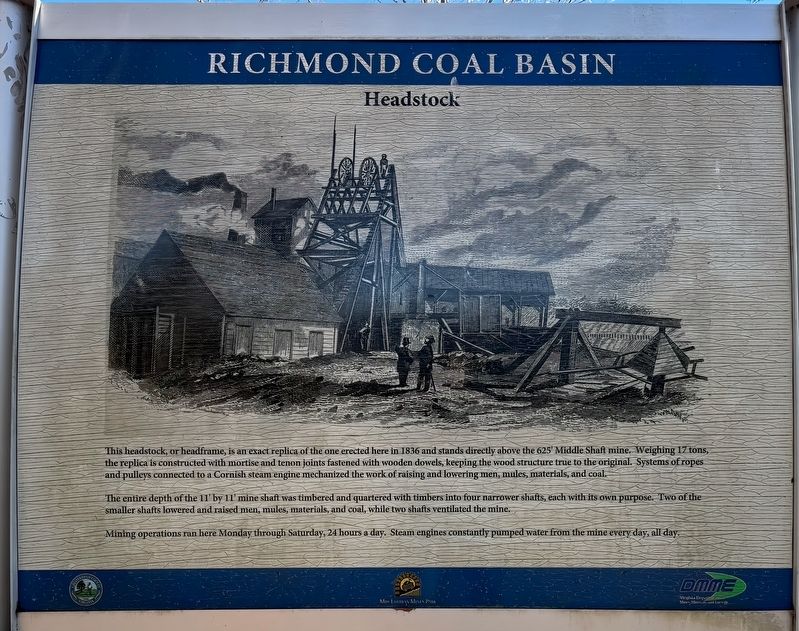
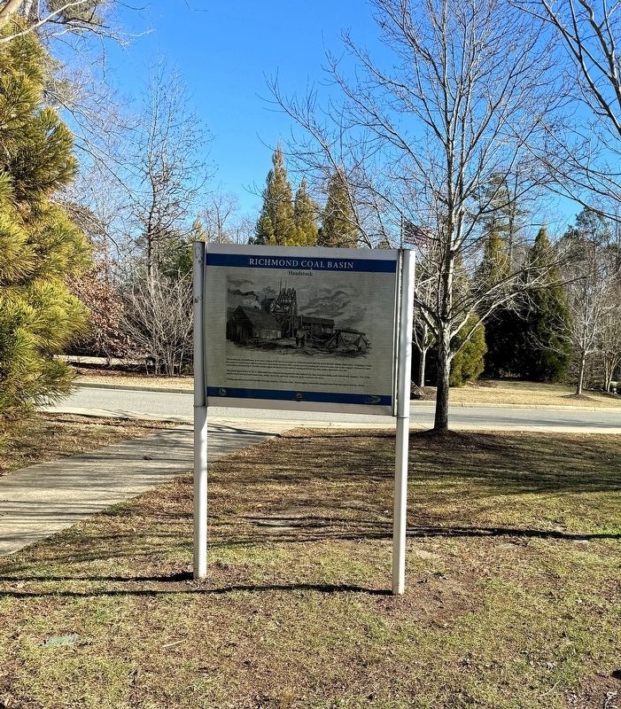
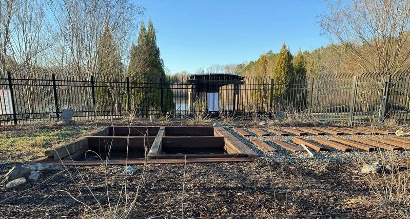
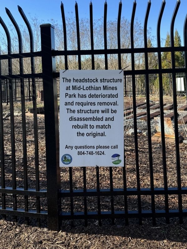
This headstock, or headframe, is an exact replica of the one erected here in 1836 and stands directly above the 625' Middle Shaft mine. Weighing 17 tons, the replica is constructed with mortise and tenon joints fastened with wooden dowels, keeping the wood structure true to the original. Systems of ropes and pulleys connected to a Cornish steam engine mechanized the work of raising and lowering men, mules, materials, and coal.
The entire depth of the 11' by 11' mine shaft was timbered and quartered with timbers into four narrower shafts, each with its own purpose. Two of the smaller shafts lowered and raised men, mules, materials, and coal, while two shafts ventilated the mine.
Mining operations ran here Monday through Saturday, 24 hours a day. Steam engines constantly pumped water from the mine every day, all day.
Erected by Chesterfield County and the Virginia Department of Mines, Minerals and Energy.
Topics. This historical marker is listed in this topic list: Industry & Commerce. A significant historical year for this entry is 1836.
Location. 37° 29.734′ N, 77° 38.61′ W. Marker is in Midlothian, Virginia, in Chesterfield County. Marker can be reached from North Woolridge Road, 0.2 miles north of Scotter Hills Lane, on the left when traveling north. The marker is located on the west side of Mid-Lothian Mines Park across North Woolridge Road from the main trails. Touch for map. Marker is at or near this postal address: 13301 North Woolridge Road, Midlothian VA 23114, United States of America. Touch for directions.
Other nearby markers. At least 8 other markers are within walking distance of this marker. From Mines to Market (within shouting distance of this marker); The Bermuda Hundred Campaign (within shouting distance of this marker); Mid-Lothian Mines and Rail Roads (about 300 feet away, measured in a direct line); a different marker also named Mid-Lothian Mines and Rail Roads (approx. ¼ mile away); a different marker also named Mid-Lothian Mines and Rail Roads (approx. 0.4 miles away); a different marker also named Mid-Lothian Mines and Rail Roads (approx. 0.4 miles away); a different marker also named Mid-Lothian Mines and Rail Roads (approx. half a mile away); Midlothian Coal Mines (approx. half a mile away). Touch for a list and map of all markers in Midlothian.
Also see . . . Mid-Lithuanian Mines Park: The Birthplace Of Virgin’s Coal Mining History. (Submitted on December 27, 2023, by Brandon D Cross of Flagler Beach, Florida.)
Credits. This page was last revised on December 27, 2023. It was originally submitted on December 27, 2023, by Brandon D Cross of Flagler Beach, Florida. This page has been viewed 74 times since then and 32 times this year. Photos: 1, 2, 3, 4. submitted on December 27, 2023, by Brandon D Cross of Flagler Beach, Florida. • Bernard Fisher was the editor who published this page.


