Oakville in Halton Region, Ontario — Central Canada (North America)
Vision for Oakville
— Sixteen Mile Creek Trail —
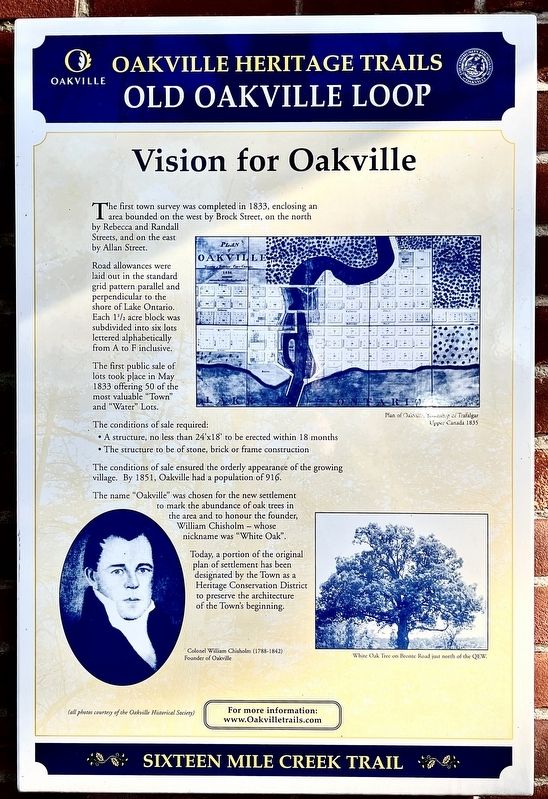
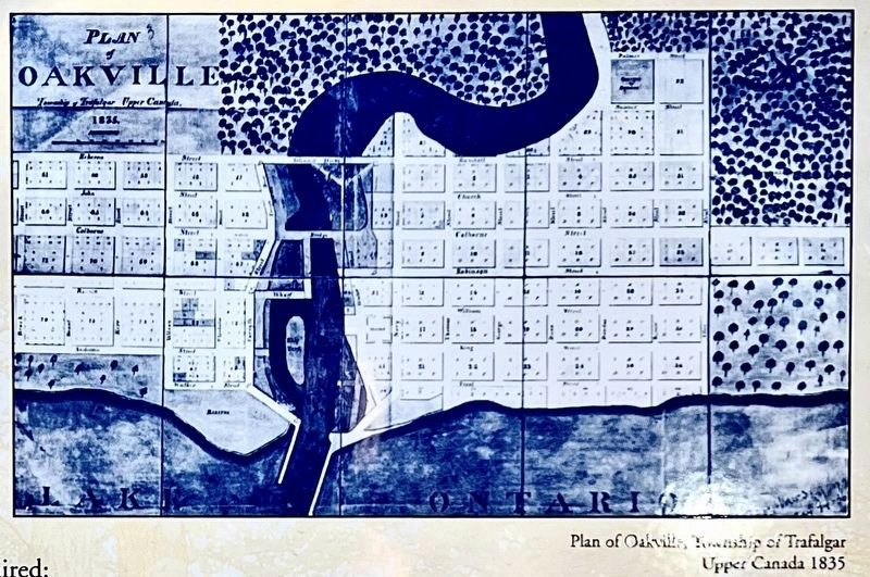
The first town survey was completed in 1833, enclosing an area bounded on the west by Brock Street, on the north by Rebecca and Randall Streets, and on the east by Allan Street.
Road allowances were laid out in the standard grid pattern parallel and perpendicular to the shore of Lake Ontario. Each 1½ acre block was subdivided into six lots lettered alphabetically from A to F inclusive.
The first public sale of lots took place in May 1833 offering 50 of the most valuable "Town" and "Water" Lots.
The conditions of sale required:
• A structure, no less than 24'x18' to be erected within 18 months
• The structure to be of stone, brick or frame construction
The conditions of sale ensured the orderly appearance of the growing village. By 1851, Oakville had a population of 916. The name "Oakville" was chosen for the new settlement to mark the abundance of oak trees in the area and to honour the founder, William Chisholm - whose nickname was "White Oak".
Today, a portion of the original plan of settlement has been designated by the Town as a Heritage Conservation District to preserve the architecture of the Town's beginning.
Topics. This historical marker is listed in these topic lists: Industry & Commerce • Settlements & Settlers. A significant historical year for this entry is 1833.
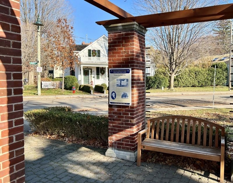
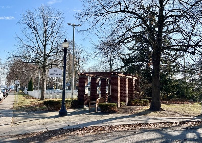
Location. 43° 26.58′ N, 79° 40.101′ W. Marker is in Oakville, Ontario, in Halton Region. Marker is at the intersection of Navy Street and William Street, on the right when traveling south on Navy Street. The marker is in Civic Oark, the original site of the market square. Touch for map. Marker is at or near this postal address: 54 Navy St, Oakville ON L6J L6J, Canada. Touch for directions.
Other nearby markers. At least 8 other markers are within walking distance of this marker. Early Leaders (here, next to this marker); Commercial Buildings (here, next to this marker); Period Homes (here, next to this marker); a different marker also named Period Homes (here, next to this marker); The Lock-up & Town Hall (a few steps from this marker); Lakeside Park Bandstand (about 210 meters away, measured in a direct line); Colonel William Chisholm (about 210 meters away); Oakville’s Meeting Hall (approx. 0.3 kilometers away). Touch for a list and map of all markers in Oakville.
Credits. This page was last revised on December 31, 2023. It was originally submitted on December 28, 2023, by Tim Boyd of Hamilton, Ontario. This page has been viewed 43 times since then and 40 times this year. Photos: 1, 2, 3, 4. submitted on December 28, 2023, by Tim Boyd of Hamilton, Ontario. • Andrew Ruppenstein was the editor who published this page.


