Newark in New Castle County, Delaware — The American Northeast (Mid-Atlantic)
"The Pumpsie Doodle"
Pomeroy and Newark Rail Trail
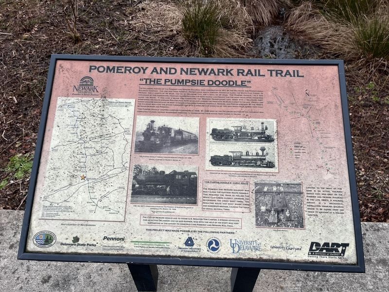
The Delaware portion of the Pomeroy and Newark Railroad was constructed in 1871 by the Delaware and Pennsylvania Railroad Company. The line ran from Pomeroy, Pennsylvania south through Avondale along the White Clay Creek, to Newark, for a length of 26 miles, and on to Delaware City, for a total of 39 miles. "The Pumpsie Doodle" as it was nicknamed by the passengers, provided transportation for both people and freight for the many developing industries along the route. It was also a means for connecting the Western Pennsylvania coal mines with a Delaware port, shortening the route through Philadelphia by 60 miles by landing the products 30 miles closer to the sea. People and goods could be routed east or west to major cities from Pomeroy, Avondale, Newark, and Porter stations. By the 1920's, the railroad replaced the steam passenger car with a gasoline car operated by two men which made round trips daily between Newark and Pomeroy.
"The Pumpsie Doodle" stopped carrying passengers in 1928. By 1940 most of the Delaware section of the railroad was completely closed, as many businesses switched to transporting their goods from trains to trucks.
"The Pumpsie Doodle's" Curvy Route
The Pomeroy and Newark Railroad was built along the flattest route possible. This required the train to follow the White Clay Creek closely, crossing and re-crossing the creek many times. The resulting route had many sharp turns and numerous bridges, causing the train to derail several times.
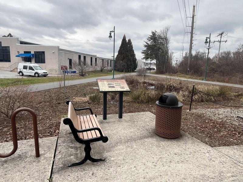
Located to the right of this kiosk is an actual railroad switch that was used on the Pomeroy and Newark Railroad in the late 1800's. A railroad switch is a mechanical installation enabling railroad trains to be guided from one track to another at a railway junction.
The City of Newark would like to thank U.S. Senator Tom Carper, a strong advocate for an active Delaware and an avid runner, who with the help of his staff was very supportive of the effort to construct the Pomeroy and Newark Rail Trail.
Erected by City of Newark; Delaware Department of Natural Resources; Delaware State Parks; Pennoni Associates Inc.; Merit Construction Engineers Inc.; Delaware Department of Transportation; U.S. Department of Transportation; University of Delaware; University Courtyard; DART.
Topics. This historical marker is listed in this topic list: Railroads & Streetcars. A significant historical year for this entry is 1871.
Location. 39° 40.484′ N, 75° 44.508′ W. Marker is in Newark, Delaware, in New Castle County. Marker is on James F. Hall Trail north of South Chapel Street, on the left when traveling north. Touch for map.
Other nearby markers. At least 8 other markers are within walking distance of this marker. John A. Perkins Student Center (approx. half a mile away); Beatrice Hartshorn (1897-1972) (approx. half a mile away); Squire Hall (approx. half a mile away); Sussex Hall (approx. half a mile away); Kent Hall (approx. half a mile away); New Castle Hall (approx. half a mile away); Laurel Hall (approx. half a mile away); Annie Jump Cannon (1863-1941) (approx. half a mile away). Touch for a list and map of all markers in Newark.
Credits. This page was last revised on December 31, 2023. It was originally submitted on December 31, 2023, by Devry Becker Jones of Washington, District of Columbia. This page has been viewed 83 times since then and 58 times this year. Photos: 1, 2. submitted on December 31, 2023, by Devry Becker Jones of Washington, District of Columbia.

