Honea Path in Anderson County, South Carolina — The American South (South Atlantic)
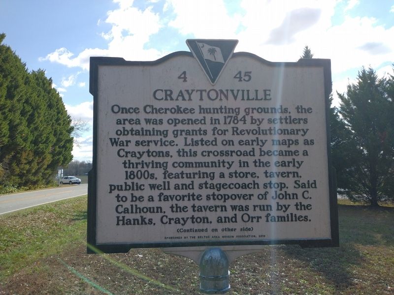
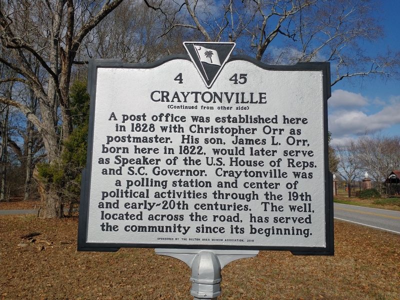
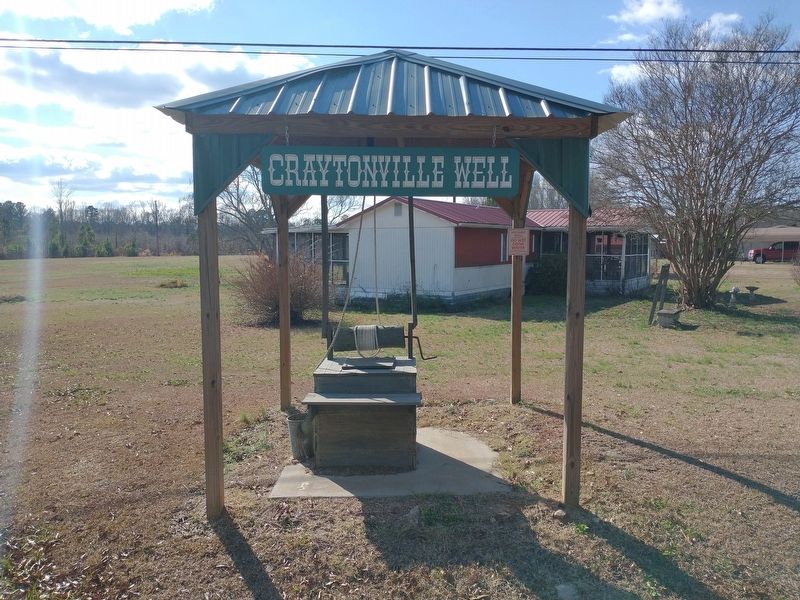
Craytonville
Once Cherokee hunting grounds, the area was opened in 1784 by settlers obtaining grants for Revolutionary War service. Listed on early maps as Craytons, this crossroad became a thriving community in the early 1800s, featuring a store, tavern, public well and stagecoach stop. Said to be a favorite stopover of John C. Calhoun, the tavern was run by the Hanks, Crayton, and Orr families.
Erected 2018 by Sponsored by the Belton Area Museum Association. (Marker Number 4 45.)
Topics. This historical marker is listed in this topic list: Settlements & Settlers. A significant historical year for this entry is 1784.
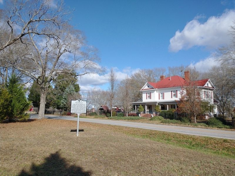
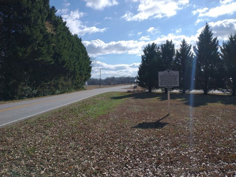
Location. 34° 26.195′ N, 82° 28.984′ W. Marker is in Honea Path, South Carolina, in Anderson County. Marker is at the intersection of Trail Road (South Carolina Route 20) and Clinkscales Road, on the right when traveling south on Trail Road. Touch for map. Marker is in this post office area: Belton SC 29627, United States of America. Touch for directions.
Other nearby markers. At least 8 other markers are within 6 miles of this marker, measured as the crow flies. Barkers Creek Baptist Church (approx. 2.2 miles away); Treaty of DeWitt's Corner (approx. 3.6 miles away); Ebenezer Methodist Church (approx. 5 miles away); They Died for the Rights of the Working Man (approx. 5.1 miles away); Honea Path Veterans Memorial (approx. 5.2 miles away); Panoramic Journey Through Honea Path (approx. 5.2 miles away); Carnegie Library (approx. 5.2 miles away); Honea Path (approx. 5.2 miles away). Touch for a list and map of all markers in Honea Path.
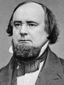
Also see . . . James Lawrence Orr. (Submitted on January 1, 2024, by Tom Bosse of Jefferson City, Tennessee.)
Credits. This page was last revised on January 3, 2024. It was originally submitted on January 1, 2024, by Tom Bosse of Jefferson City, Tennessee. This page has been viewed 71 times since then. Photos: 1, 2, 3, 4, 5, 6. submitted on January 1, 2024, by Tom Bosse of Jefferson City, Tennessee. • Bernard Fisher was the editor who published this page.
