Near Abbeville in Abbeville County, South Carolina — The American South (South Atlantic)
Mulberry A.M.E. Church
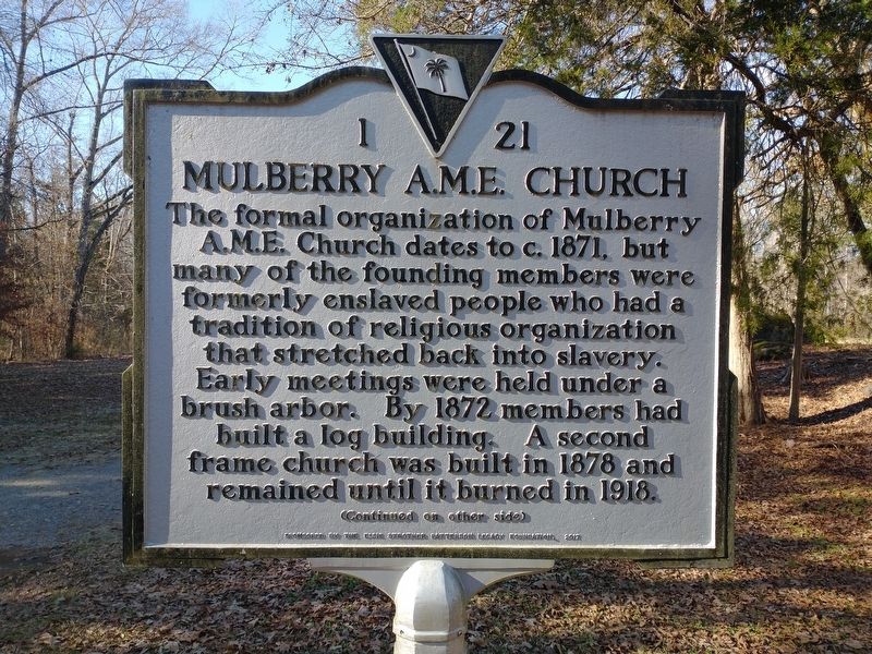
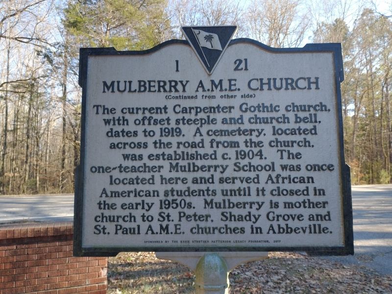
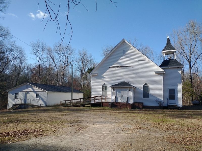
The formal organization of Mulberry A.M.E. Church dates to c. 1871, but many of the founding members were formerly enslaved people who had a tradition of religious organization that stretched back into slavery. Early meetings were held under a brush arbor. By 1872 members had built a log building. A second frame church was built in 1878 and remained until it burned in 1918.
Erected 2017 by Sponsored by Essie Strother Patterson Legacy Foundation. (Marker Number 1 21.)
Topics. This historical marker is listed in these topic lists: African Americans • Architecture • Churches & Religion • Education. A significant historical year for this entry is 1871.
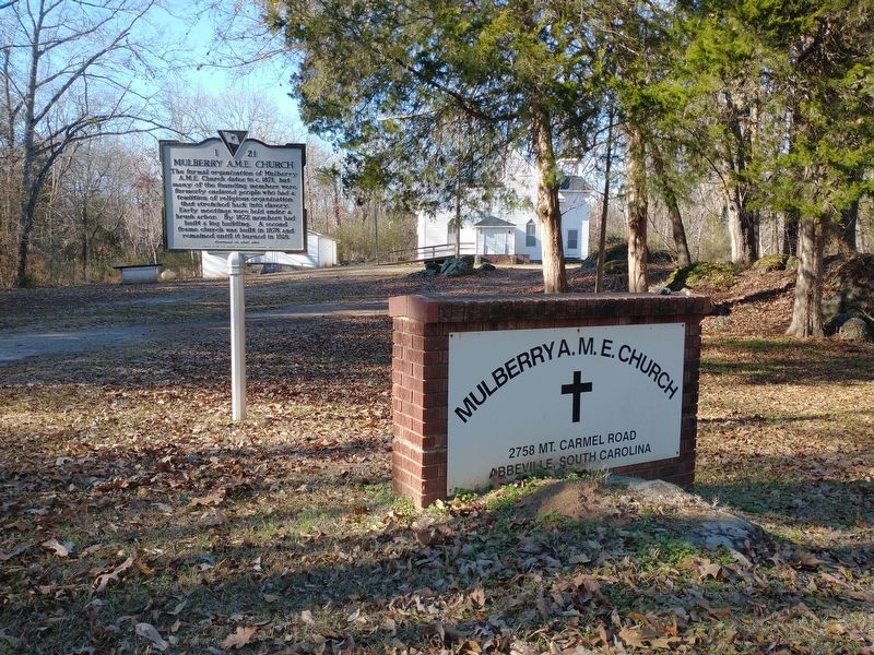
Location. 34° 3.77′ N, 82° 26.85′ W. Marker is near Abbeville, South Carolina, in Abbeville County. Marker is at the intersection of Mount Carmel Road (South Carolina Route 823) and Mulberry Road, on the right when traveling south on Mount Carmel Road. Touch for map. Marker is at or near this postal address: 2758 Mount Carmel Road, Abbeville SC 29620, United States of America. Touch for directions.
Other nearby markers. At least 8 other markers are within 6 miles of this marker, measured as the crow flies. Birthplace of Calhoun (approx. ¼ mile away); Battle of Long Cane (approx. 3.7 miles away); Forest Lawn Memory Gardens Veterans Monument (approx. 3.8 miles away); Lebanon Presbyterian Church (approx. 4 miles away); Mt. Carmel Historical District (approx. 5.1 miles away); Fort Charlotte (approx. 5.2 miles away); Patrick Calhoun Burial Grounds (approx. 5.3 miles away); Parsons Mountain World War II Memorial (approx. 5.7 miles away). Touch for a list and map of all markers in Abbeville.
Credits. This page was last revised on January 2, 2024. It was originally submitted on January 1, 2024, by Tom Bosse of Jefferson City, Tennessee. This page has been viewed 44 times since then. Photos: 1, 2, 3, 4. submitted on January 1, 2024, by Tom Bosse of Jefferson City, Tennessee. • Bernard Fisher was the editor who published this page.


