North Augusta in Aiken County, South Carolina — The American South (South Atlantic)
Providence Baptist Church
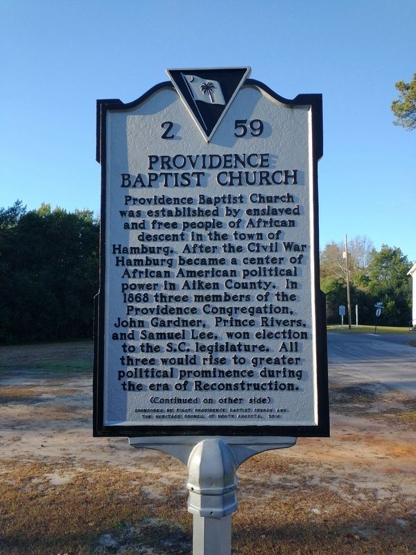
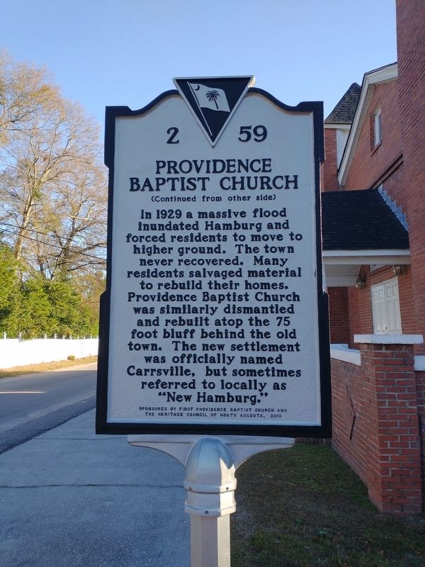
Providence Baptist Church was established by enslaved and free people of African descent in the town of Hamburg. After the Civil War Hamburg became a center of African American political power in Aiken County. In 1868 three members of the Providence Congregation, John Gardner, Prince Rivers, and Samuel Lee, won election to the S.C. legislature. All three would rise to greater political prominence during the era of Reconstruction.
Erected 2016 by Sponsored by First Providence Baptist Church and the Heritage Council of North Augusta. (Marker Number 2 59.)
Topics. This historical marker is listed in these topic lists: African Americans • Churches & Religion • Disasters. A significant historical year for this entry is 1868.
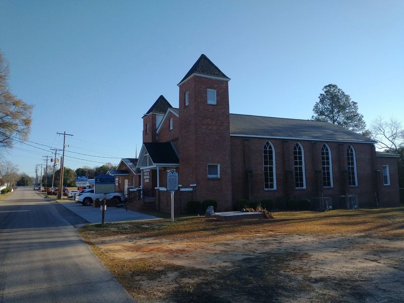
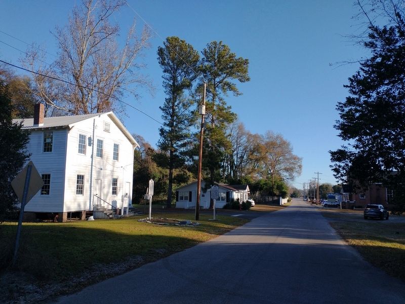
Location. 33° 29.197′ N, 81° 57.441′ W. Marker is in North Augusta, South Carolina, in Aiken County. Marker is on Barton Road north of Boylan Street, on the left when traveling south. Touch for map. Marker is at or near this postal address: 315 Barton Road, North Augusta SC 29841, United States of America. Touch for directions.
Other nearby markers. At least 8 other markers are within walking distance of this marker. Carrsville (within shouting distance of this marker); The Hamburg Massacre (within shouting distance of this marker); Hamburg (approx. 0.6 miles away); Western Terminus South Carolina Railroad (approx. 0.6 miles away); Former Site of WJ Rutherford & Co Brickyard (approx. 0.7 miles away); William Bartram Trail (approx. 0.7 miles away in Georgia); Great Indian Warrior / Trading Path (approx. 0.7 miles away in Georgia); De Soto In Georgia (approx. 0.7 miles away in Georgia). Touch for a list and map of all markers in North Augusta.
Also see . . . Providence Baptist Church. (Submitted on January 3, 2024.)
Credits. This page was last revised on January 3, 2024. It was originally submitted on January 2, 2024, by Tom Bosse of Jefferson City, Tennessee. This page has been viewed 40 times since then. Photos: 1, 2, 3, 4. submitted on January 2, 2024, by Tom Bosse of Jefferson City, Tennessee. • Bernard Fisher was the editor who published this page.


