Near Esopus in Ulster County, New York — The American Northeast (Mid-Atlantic)
Perrine’s Bridge
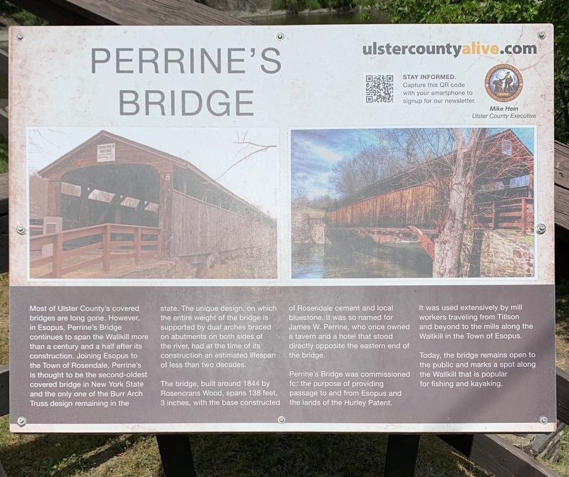
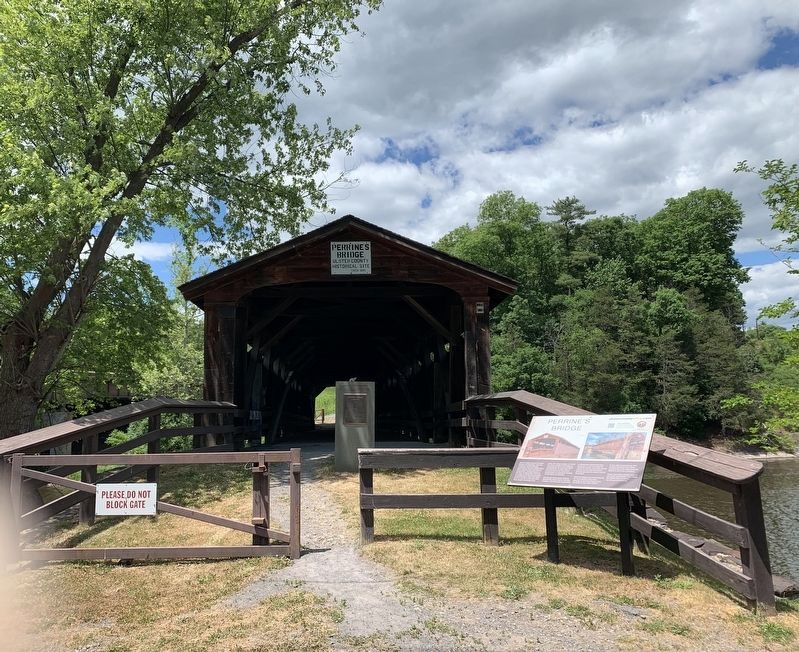
The bridge, built around 1844 by Rosencrans Wood, spans 138 feet, 3 inches, with the base constructed of Rosendale cement and local bluestone. It was so named for James W. Perrine, who once owned a tavern and a hotel that stood directly opposite the eastern end of the bridge.
Perrine's Bridge was commissioned for the purpose of providing passage to and from Esopus and the lands of the Hurley Patent. It was used extensively by mill workers traveling from Tillson and beyond to the mills along the Wallkill in the Town of Esopus.
Today, the bridge remains open to the public and marks a spot along the Wallkill that is popular for fishing and kayaking.
Erected by Ulster County Alive.
Topics. This historical marker is listed in this topic list: Bridges & Viaducts. A significant historical year for this entry is 1844.
Location. 41° 49.051′ N, 74° 3.321′ W. Marker is near Esopus, New York, in Ulster County. Marker is on Main Street (New York State Route 213) east of NY Thruway (Interstate 87), on the left when traveling east. Touch for map. Marker is in this post office area: Rosendale NY 12472, United States of America. Touch for directions.
Other nearby markers. At least 8 other markers are within 3 miles of this marker, measured as the crow flies. A different marker also named Perrine’s Bridge (about 700 feet away, measured in a direct line); Meeting House (approx. one mile away); Tillson House (approx. 1.1 miles away); Tawaeri Taqui (approx. 1.4 miles away); Fording Place (approx. 2.2 miles away); Rosendale Tourist Info (approx. 2.2 miles away); Rosendale Library (approx. 2.2 miles away); Sojourner Truth (approx. 2.4 miles away).
Credits. This page was last revised on January 6, 2024. It was originally submitted on June 8, 2020, by Steve Stoessel of Niskayuna, New York. This page has been viewed 212 times since then and 40 times this year. Last updated on January 4, 2024, by Carl Gordon Moore Jr. of North East, Maryland. Photos: 1, 2. submitted on June 8, 2020, by Steve Stoessel of Niskayuna, New York. • J. Makali Bruton was the editor who published this page.

