St. Charles in St. Charles County, Missouri — The American Midwest (Upper Plains)
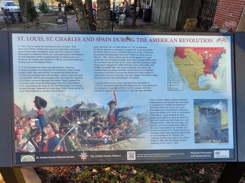
St. Louis, St. Charles and Spain During the American Revolution
Inscription.
In 1764, France ceded the Louisiana territory to Spain. That same year, Pierre Laclede and a group of associates anxious to expand local trade, founded St. Louis near the confluence of the Mississippi and Missouri Rivers. St. Louis grew quickly and became the administrative center of upper Spanish Louisiana under a Lt. Governor. St. Charles was founded in 1769 by Louis Blanchette as a trading post on the Missouri River.
In 1778, Fernando de Leyba was appointed Lt. Governor of upper Louisiana. He supported the Americans under George Rogers Clark, who had recently conquered the British Illinois Country, by providing them with muskets, uniform cloth and other war materials. Before and throughout the war, under the direction of Louisiana Governor Bernardo de Galvez, Spain supplied the Americans with aid up the Mississippi River from New Orleans to St. Louis and as far away as Fort Pitt (Pittsburgh). Once Spain entered the war, it attacked and tied down British forces along the lower Mississippi River and the Gulf of Mexico.
Spain declared war on Great Britain in 1779. In response, the British planned a campaign to capture St. Louis and retake the British Illinois Country. A British-led force of over 1,000 men descended the Mississippi River from Prairie du Chien and on May 26, 1780, a fierce attack was launched against St. Louis. Leyba had only 29 regular soldiers and a few hundred militia under his command, but he built up St. Louis' defenses including a large stone tower with cannon called Fort San Carlos and 2,000 yards of entrenchments. After two hours of fighting, the attack was repelled thanks to these defenses. The Americans and Spanish mounted a joint force to pursue the British and while unable to catch them, did burn Saukenuk, the main village of the British-allied Sac and Fox who had participated in the attack.
A second attack on St. Louis was planned by the British in 1781 but was foiled when Spanish militia from St. Louis destroyed the stockpile of supplies at British Fort St. Joseph. A British attempt to capture Arkansas Post in 1783 was also defeated.
These victories helped achieve American Independence and assisted the Americans in negotiations to obtain the Northwest Territories at the end of the war. Louis Blanchette was in the Spanish militia and was at the Battle of St. Louis. In anticipation of the attack, Leyba ordered all of the hunters and traders to return to defend St. Louis and mentioned that these men were "all good shots." After the war, many men from St. Louis who fought at the Battle of St. Louis would settle in St. Charles and several are buried in St. Charles Borromeo Cemetery. Spain later appointed Blanchette as Commandant of St. Charles.
The Louisiana Territory was sold to the United States in 1804 with the official transfer ceremony at St. Louis in 1804.
Erected by Iberdrola, City of Saint Charles, Missouri and St. Charles County Historical Society.
Topics. This historical marker is listed in these topic lists: Forts and Castles • War, US Revolutionary. A significant historical date for this entry is May 26, 1780.
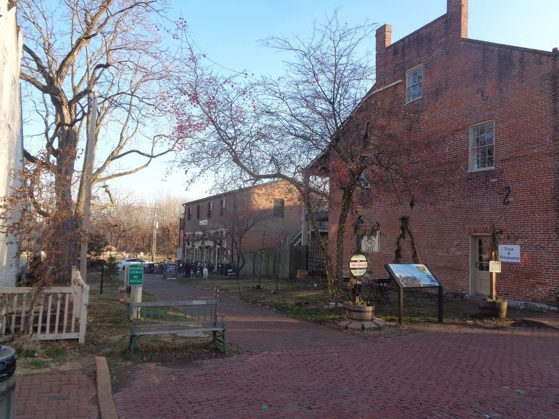
Location. 38° 46.583′ N, 90° 29.024′ W. Marker is in St. Charles, Missouri, in St. Charles County. Marker is on South Main Street north of Water Street, on the right when traveling north. Touch for map. Marker is at or near this postal address: 700 S Main St, Saint Charles MO 63301, United States of America. Touch for directions.
Other nearby markers. At least 8 other markers are within walking distance of this marker. Farmer's Home (a few steps from this marker); Collier Cottage (within shouting distance of this marker); First Methodist Church (within shouting distance of this marker); Glenday / Zeisler Home (about 300 feet away, measured in a direct line); The Trail to Fort Osage (about 300 feet away); The Lewis and Clark Expedition Rendezvous Site (about 300 feet away); The Lewis and Clark Expedition Across Missouri (about 300 feet away); Lewis & Clark Monument (about 400 feet away). Touch for a list and map of all markers in St. Charles.
Credits. This page was last revised on January 5, 2024. It was originally submitted on January 4, 2024, by Jason Voigt of Glen Carbon, Illinois. This page has been viewed 54 times since then. Photos: 1, 2. submitted on January 4, 2024, by Jason Voigt of Glen Carbon, Illinois.

