LaFayette in Chambers County, Alabama — The American South (East South Central)
Chambers County Training School
Chambers County
Photographed by Mark Hilton, January 4, 2024
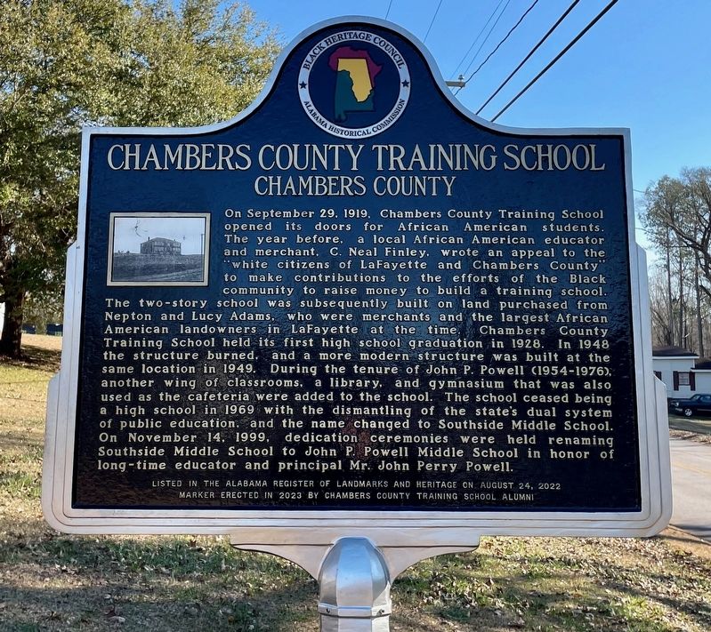
1. Chambers County Training School Marker
On September 29, 1919, Chambers County Training School opened its doors for African American students. The year before, a local African American educator and merchant, C. Neal Finley, wrote an appeal to the "white citizens of LaFayette and Chambers County" to make contributions to the efforts of the Black community to raise money to build a training school. The two-story school was subsequently built on land purchased from Nepton and Lucy Adams, who were merchants and the largest African American landowners in LaFayette at the time. Chambers County Training School held its first high school graduation in 1928. In 1948 the structure burned, and a more modern structure was built at the same location in 1949. During the tenure of John P. Powell (1954-1976), another wing of classrooms, a library, and gymnasium that was also used as the cafeteria were added to the school. The school ceased being a high school in 1969 with the dismantling of the state's dual system of public education, and the name changed to Southside Middle School. On November 14, 1999, dedication ceremonies were held renaming Southside
this page online
Listed In the Alabama Register of Landmarks And Heritage on August 24, 2022
Erected 2022 by Chambers County Training School Alumni.
Topics. This historical marker is listed in these topic lists: African Americans • Education. A significant historical date for this entry is September 29, 1919.
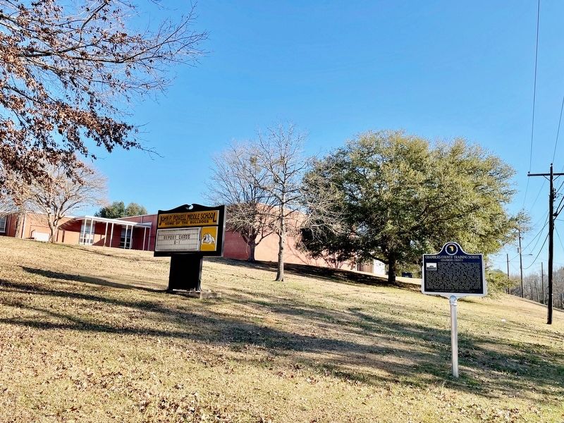
Location. 32° 53.313′ N, 85° 23.815′ W. Marker is in LaFayette, Alabama, in Chambers County. It is at the intersection of 1st Street SE and 7th Street SE, on the left when traveling south on 1st Street SE. Located in front of John Powell Middle School. Touch for map. Marker is at or near this postal address: 700 1st St SE, Lafayette AL 36862, United States of America. Touch for directions.

Regionally, this marker is in East Alabama. It is also in the American South and specifically in the Deep South. Globally, it is in North America, a Gulf of Mexico state, the Western Hemisphere, the Western World, and the Anglosphere. Historically, it finds itself in what was once the original Cherokee Nation, the territory of the Mississippian
Photographed by Mark Hilton, January 4, 2024
2. Chambers County Training School Marker at John Powell Middle School.
Other nearby markers. At least 8 other markers are within walking distance of this marker: Vines Funeral Home and Ambulance Service (approx. half a mile away); Essie J. Handy Memorial Cemetery (approx. 0.6 miles away); LaFayette Cemetery (approx. 0.6 miles away); The LaFayette Presbyterian Church (approx. 0.7 miles away); Joe Louis (approx. ¾ mile away); Chambers County (approx. 0.8 miles away); Chambers County War Memorial (approx. 0.8 miles away); Muscogee Indians (approx. 0.8 miles away). Touch for a list and map of all markers in LaFayette.
Also see . . . Chambers County Training School: A milestone in LaFayette history The Times-News. (Submitted on January 4, 2024, by Mark Hilton of Montgomery, Alabama.)
Photographed by Mark Hilton, January 4, 2024
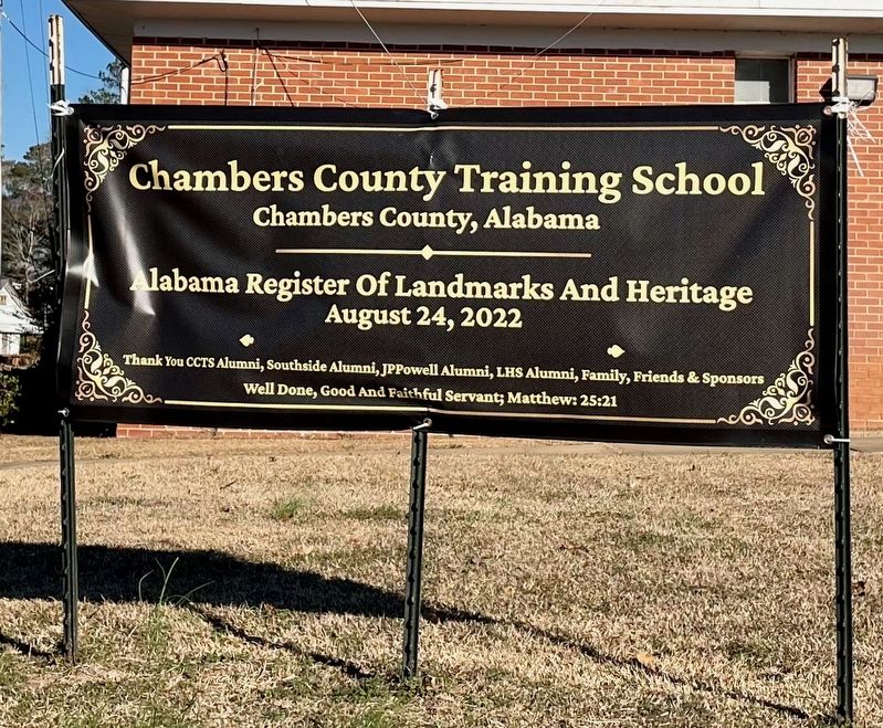
3. Dedication banner for Chambers County Training School
In honor of being added to the Alabama Register of Landmarks & Heritage.
Photographed by Mark Hilton, January 4, 2024
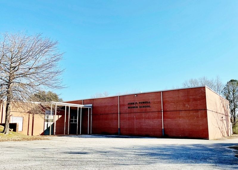
4. John P. Powell Middle School
Credits. This page was last revised on July 2, 2024. It was originally submitted on January 4, 2024, by Mark Hilton of Montgomery, Alabama. This page has been viewed 693 times since then and 89 times this year. Photos: 1, 2, 3, 4. submitted on January 4, 2024, by Mark Hilton of Montgomery, Alabama.
