Near Buffalo in San Saba County, Texas — The American South (West South Central)
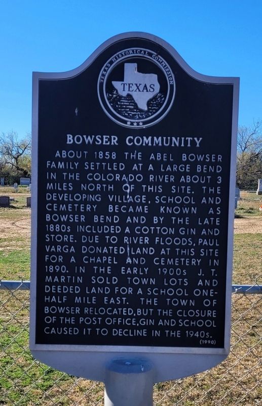
Bowser Community
Erected 1990 by Texas Historical Commission. (Marker Number 476.)
Topics. This historical marker is listed in this topic list: Settlements & Settlers. A significant historical year for this entry is 1858.
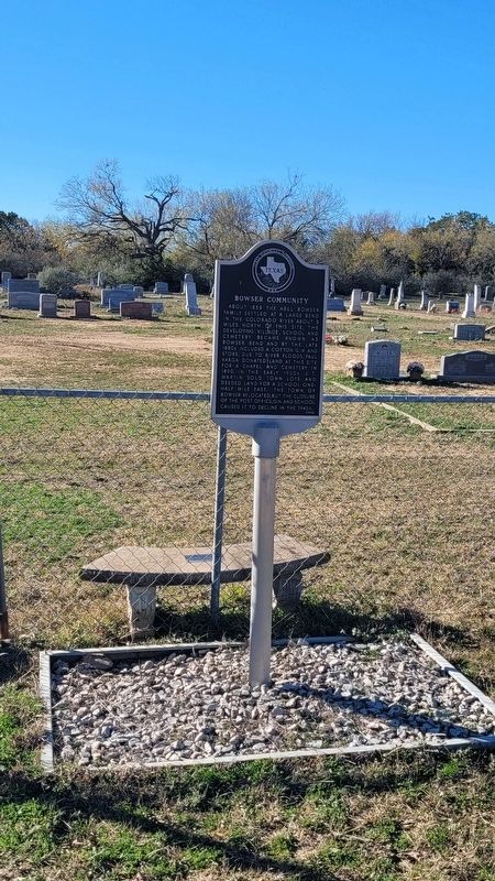
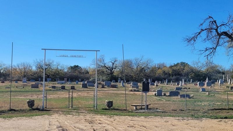
Location. 31° 24.312′ N, 98° 58.864′ W. Marker is near Buffalo, Texas, in San Saba County. Marker is on County Road 407, ¼ mile south of County Road 245, on the right when traveling south. The marker is located at the front entrance to the Varga Cemetery. Touch for map. Marker is in this post office area: Rochelle TX 76872, United States of America. Touch for directions.
Other nearby markers. At least 8 other markers are within 13 miles of this marker, measured as the crow flies. Buffalo-Ebony Cemetery (approx. 7.1 miles away); Regency Suspension Bridge (approx. 8 miles away); a different marker also named Regency Suspension Bridge (approx. 8.3 miles away); First State Bank in Richland Springs (approx. 9.3 miles away); First State Bank Building (approx. 9.3 miles away); John Duncan's Fort (approx. 9.6 miles away); Geographic Center of Texas (approx. 11.2 miles away); Rural Communities of Western Mills County (approx. 12.1 miles away). Touch for a list and map of all markers in Buffalo.
Also see . . . Bowser, TX. Texas State Historical Association (TSHA) (Submitted on January 5, 2024, by James Hulse of Medina, Texas.)
Credits. This page was last revised on January 5, 2024. It was originally submitted on January 5, 2024, by James Hulse of Medina, Texas. This page has been viewed 47 times since then. Photos: 1, 2, 3. submitted on January 5, 2024, by James Hulse of Medina, Texas.


