Emeryville in Alameda County, California — The American West (Pacific Coastal)
Two Emeryville Pioneers
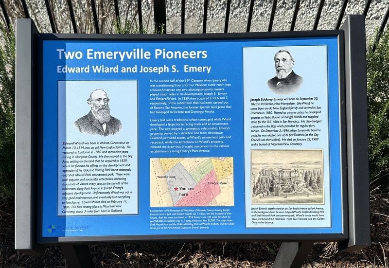
Edward Wiard and Joseph S. Emery
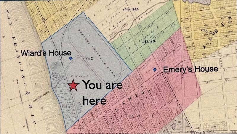
In the second half of the 19th Century, when Emeryville was transitioning from a former Mexican cattle ranch into a future American city, two abutting property owners played major roles in its development: Joseph S. Emery and Edward Wiard. In 1859, they acquired Lots 6 and 7, respectively, of the subdivision that had been carved out of Rancho San Antonio, the former Spanish land grant that had belonged to Vicente and Domingo Peralta.
Emery laid out a traditional urban street grid while Wiard developed a large horse racing track and an amusement park. The two enjoyed a synergistic relationship: Emery's property, served by a streetcar line from downtown Oakland, provided access to Wiard's amusement park and racetrack, while the attractions on Wiard's property created the draw that brought customers to the various establishments along Emery's Park Avenue.
Edward Wiard was born in Wolcott, Connecticut on March 10, 1814, into an old New England family. He ventured to California in 1850 and spent nine years mining in Mariposa County. He then moved to the Bay Area, settling on the land that he acquired in 1859, where he focused his efforts on the development and operation of his Oakland Trotting Park horse racetrack and Shell Mound Park amusement park. These were both popular and successful enterprises, attracting thousands of visitors every year, to the benefit of the businesses along Park Avenue in Joseph Emery's adjacent development. Unfortunately, Wiard was not a very good businessman, and eventually lost everything to foreclosure. Edward Wiard died on February 11, 1886. His final resting place is Mountain View Cemetery, about 3 miles from here in Oakland.
Joseph Stickney Emery was born on September 30, 1820 in Pembroke, New Hampshire. Like Wiard, he came from an old New England family and arrived in San Francisco in 1850. Trained as a stone cutter, he developed quarries on Yerba Buena and Angel islands and supplied stone for the U.S. Mint in San Francisco. He also dredged a channel in the Bay, which provided for regular ferry service. On December 2, 1896, when Emeryville became a city, he was elected one of its first Trustees (as the City Council was then called). He died on January 22, 1909 and is buried at Mountain View Cemetery.
Topics. This historical marker is listed in these topic lists: Entertainment • Industry & Commerce • Settlements & Settlers. A significant historical date for this entry is December 2, 1896.
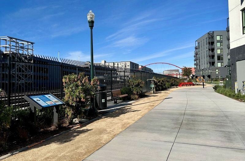
Location. 37° 49.972′ N, 122° 17.438′ W. Marker is in Emeryville, California, in Alameda County. Marker can be reached from Hubbard Street. Touch for map. Marker is in this post office area: Emeryville CA 94608, United States of America. Touch for directions.
Other nearby markers. At least 8 other markers are
within walking distance of this marker. Judson Manufacturing (within shouting distance of this marker); Xučyun Park (Huchiun Park) (about 300 feet away, measured in a direct line); Emeryville’s Mexican Heritage (about 300 feet away); Welcome to the Emeryville Greenway (about 500 feet away); Sherwin-Williams (about 500 feet away); Emeryville’s Horse Racetrack (about 700 feet away); Northern Railway (about 800 feet away); PCR Park (approx. ¼ mile away). Touch for a list and map of all markers in Emeryville.

1878
3. Marker detail: map and caption
Excerpt from 1878 Thompson & West Atlas of Alameda County showing Joseph
Emery's Lot 6 in pink and Edward Wiard's Lot 7 in blue, and the locations of their
houses. Both lots were purchased in 1859; Emery's was 185 acres for which he paid $8,000, and Wiard's was 115 acres, which cost him $7,000. This map shows Shell Mound Park and the Oakland Trotting Park on Wiard's property and the urban street grid of the Park Avenue District on Emery's property.

4. Marker detail: illustration and caption
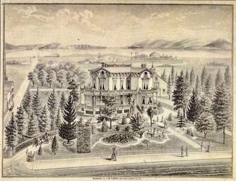
Joseph Emery's stately mansion on San Pablo Avenue at Park Avenue.
In the background can be seen Edward Wiard's Oakland Trotting Park
and Shell Mound Park amusement park. Wiard's house would have
been just beyond the racetrack. Note San Francisco and the Golden
Gate in the distance.
Credits. This page was last revised on January 6, 2024. It was originally submitted on January 6, 2024, by Andrew Ruppenstein of Lamorinda, California. This page has been viewed 65 times since then. Photos: 1, 2, 3, 4. submitted on January 6, 2024, by Andrew Ruppenstein of Lamorinda, California.

