Downtown in Indianapolis in Marion County, Indiana — The American Midwest (Great Lakes)
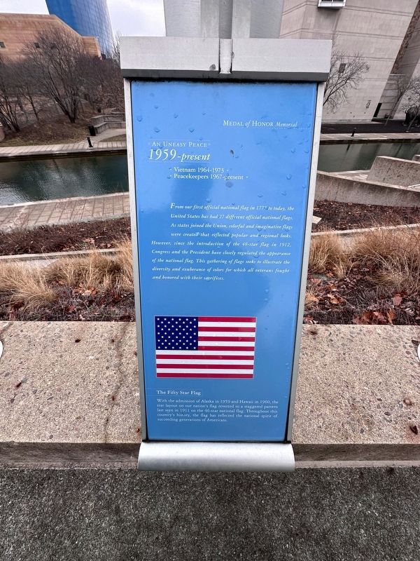
An Uneasy Peace
1959-present
— Medal of Honor Memorial —
★ Peacekeepers 1967-present ★
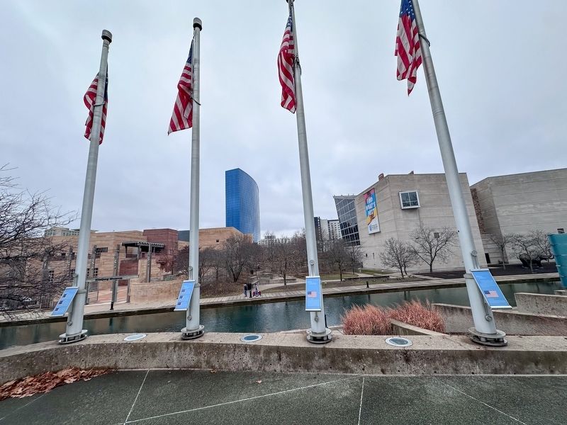
From our first official national flag in 1777 to today, the United States has had 27 different official national flags. As states joined the Union, colorful and imaginative flags were created that reflected popular and regional looks. However, since the introduction of the 48-star flag in 1912, Congress and the President have closely regulated the appearance of the national flag. This gathering of flags seeks to illustrate the diversity and exuberance of colors for which all veterans fought and honored with their sacrifices.
Topics. This historical marker is listed in these topic lists: Patriots & Patriotism • War, Vietnam. A significant historical year for this entry is 1777.
Location. 39° 46.169′ N, 86° 10.106′ W. Marker is in Indianapolis, Indiana, in Marion County. It is in Downtown. Marker can be reached from the intersection of North West Street and Downtown Canal Walk, on the right when traveling south. Touch for map. Marker is at or near this postal address: 601 West York Street, Indianapolis IN 46204, United States of America. Touch for directions.
Other nearby markers. At least 8 other markers are within walking distance of this marker. A Nation in Crisis (here, next to this marker); Western Expansion (here, next to this marker); Civil War (a few steps from this marker); Spencer County (within shouting distance of this marker); Carroll County (within shouting distance of this marker); Wells County (within shouting distance of this marker); Noble County (within shouting distance of this marker); Madison County (within shouting distance of this marker). Touch for a list and map of all markers in Indianapolis.
Regarding An Uneasy Peace. The marker states Hawaii entered the union in 1960. It was admitted August 21, 1959.
Also see . . . List of Flags of the United States. (Submitted on January 6, 2024, by J.T. Lambrou of New Boston, Michigan.)
Credits. This page was last revised on January 6, 2024. It was originally submitted on January 6, 2024, by J.T. Lambrou of New Boston, Michigan. This page has been viewed 50 times since then. Photos: 1, 2. submitted on January 6, 2024, by J.T. Lambrou of New Boston, Michigan. • Devry Becker Jones was the editor who published this page.

