Emeryville in Alameda County, California — The American West (Pacific Coastal)
Northern Railway
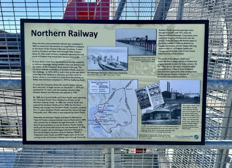
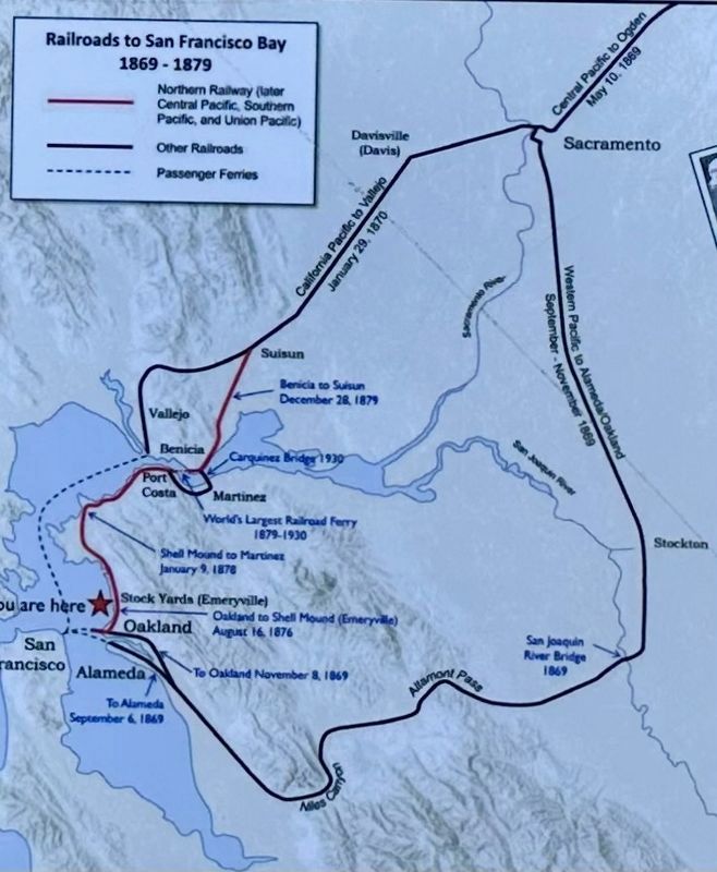
When the first transcontinental railroad was completed in 1869, its route from Sacramento to Long Wharf in Oakland, on the shore of San Francisco Bay, was circuitous. It went south to Stockton and then west through Niles Canyon, about 25 miles south of here, completely bypassing the area north of Oakland that would later become Emeryville.
A more direct route from Sacramento to the Bay would be an obvious advantage, saving travelers time and distance, but the waters of the Carquinez Strait stood in the way. The Northern Railway, a subsidiary of Southern Pacific, took on this challenge. In 1876-1879, it built a line up the east shore of the Bay from Oakland to Martinez, and then north to Suisun, where it connected to a route from Sacramento to Vallejo that had been completed in 1870 by California Pacific.
To cross the Carquinez Strait, the world's largest railroad ferry was built. It began service on December 1, 1879 and operated for 51 years until the existing railroad bridge between Benicia and Martinez was opened in 1930.
By 1880, the Central Pacific and Union Pacific were operating the "Overland Route" from Oakland to Omaha via the Northern Railway tracks. In 1885, the Central Pacific was acquired by Southern Pacific, and in 1898, the Northern Railway was merged into Southern Pacific, its parent company. For 111 years, Southern Pacific operated the railroad through Emeryville, until 1996, when it was acquired by Union Pacific.
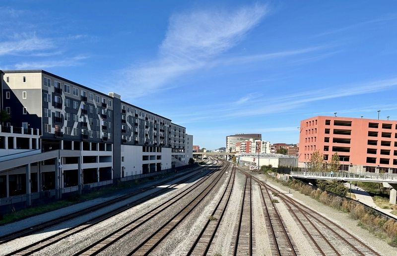
Meanwhile, the Atchison, Topeka, and Santa Fe Railroad (or "Santa Fe") built a transcontinental route to Richmond in 1899, with a branch line to Oakland through Emeryville. In 1978, Santa Fe got permission to use the Southern Pacific mainline tracks, and the Emeryville branch line was abandoned. In 1996, Santa Fe merged with the Burlington Northern Railroad to form the Burlington Northern Santa Fe Railway ("BNSF"). Today, both Union Pacific and BNSF freight trains can be seen running on the old Northern Railway route through Emeryville.
Southern Pacific operated passenger trains through Emeryville until 1971, when the National Railroad Passenger Corporation, more commonly known as Amtrak, took over the service. Today, the Emeryville Amtrak station is the fourth busiest in California (behind Los Angeles, Sacramento, and San Diego), with long distance trains to Los Angeles, Seattle, and Chicago, and commuter trains to the Central Valley, San Jose, and Sacramento.
The arrival of the railroad transformed Emeryville from a sleepy suburb of Oakland into a highly desirable location for heavy industry. By the 1930s, almost 100 major companies called Emeryville home. Many of those businesses have now been replaced by other developments, but the railroad remains a vital part of Emeryville's past, present, and future.
Erected 2023 by City of Emeryville.
Topics. This historical marker is listed in this topic list: Railroads & Streetcars. A significant historical date for this entry is December 1, 1879.
Location. 37° 50.099′ N, 122° 17.44′ W. Marker is in Emeryville, California, in Alameda County. Marker can be reached from Horton Street. Touch for map. Marker is in this post office area: Emeryville CA 94608, United States of America. Touch for directions.
Other nearby markers. At least 8 other markers are within walking distance of this marker. Emeryville’s Horse Racetrack (within shouting distance of this marker); Emeryville’s Mexican Heritage (about 500 feet away, measured in a direct line); PCR Park (about 600 feet away); Shell Mound Park (about 600 feet away); Two Emeryville Pioneers (about 800 feet away); Judson Manufacturing (approx. 0.2 miles away); Xučyun Park (Huchiun Park) (approx. 0.2 miles away); Welcome to the Emeryville Greenway (approx. ¼ mile away). Touch for a list and map of all markers in Emeryville.
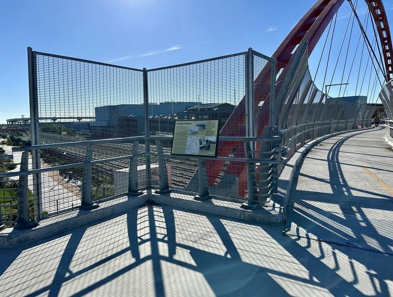
More about this marker. The marker is located at the east end of the South Bayfront Bridge.
Credits. This page was last revised on January 7, 2024. It was originally submitted on January 7, 2024, by Andrew Ruppenstein of Lamorinda, California. This page has been viewed 60 times since then. Photos: 1, 2, 3, 4. submitted on January 7, 2024, by Andrew Ruppenstein of Lamorinda, California.


