Marion Township near Celina in Mercer County, Ohio — The American Midwest (Great Lakes)
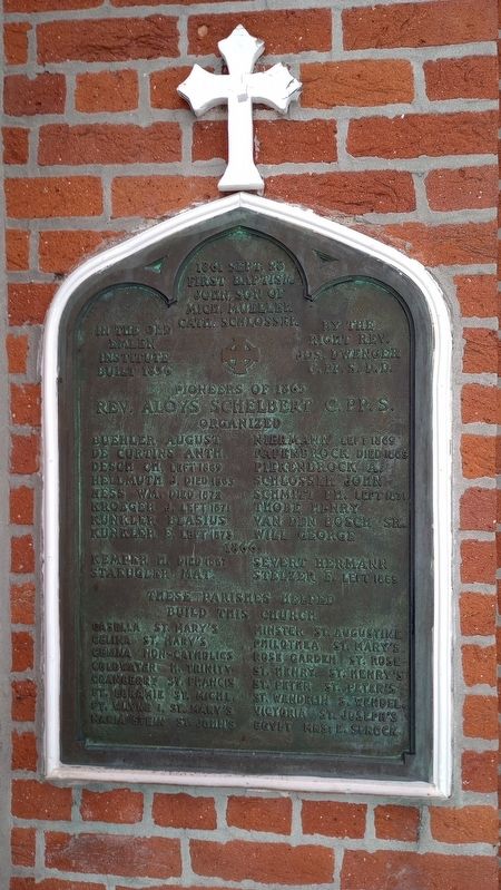
Pioneers of 1865
1861 Sept. 28 First Baptism John, son of Mich. Mueller Cath. Schlosser in the old Emlen Institute built 1836 by the Right Rev. Jos, Dwenger C. PP. S. D.D.
Rev. Aloys Schelbert C. PP. S.
Organized:
Buehler August De Curtins Anth Desch Ch. left 1869 Hellmuth J. died 1865 Hess Wm. died 1872 Kroeger J. left 1871 Kunkler Blasius Kunkler E. left 1873 Niermann left 1869 Papenbrock died 1869 Piekenbrock A. Schlosser John Schmitt Ph. left 1871 Thobe Henry Van Den Bosch Sr. Will George
1866
Kemper H. died 1867 Staeugler Mat. Severt Hermann Stelzer F. left 1869
These parishes helped build this church
Casella - St Mary's Celina - St Mary's Celina - Non-Catholics Coldwater - H. Trinity Cranberry - St. Francis Ft. Loramie - St. Michl. Ft. Wayne - 1. St. Mary's Naria Stein - St. John's Minster - St. Augustine Philothea - St. Mary's Rose Garden - St. Rose St. Henry - St. Henry's St. Peter - St. Peter's Stawendelin - Swendel Victoria - St. Joseph's Egypt - Mrs. E. Sprock
Topics. This historical marker is listed in this topic list: Churches & Religion. A significant historical date for this entry is September 28, 1861.
Location. 40° 26.194′ N, 84° 34.203′ W. Marker is near Celina, Ohio, in Mercer County. It is in Marion Township. Marker is on Ohio Route 274 east of U.S. 127, on the right when traveling east. Touch for map. Marker is at or near this postal address: 6032 Route 274, Celina OH 45822, United States of America. Touch for directions.
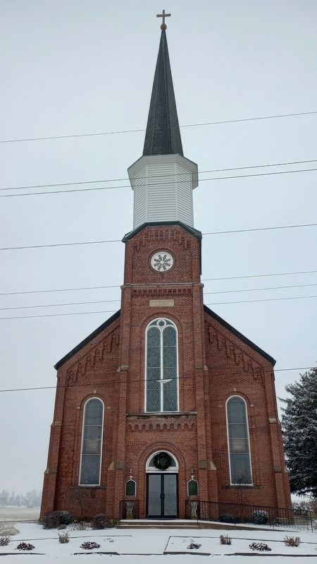
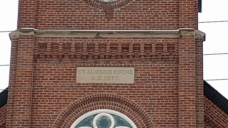
Other nearby markers. At least 8 other markers are within 4 miles of this marker, measured as the crow flies. The builders 1876-78 of St. Aloysius Church at Carthagena Ohio (here, next to this marker); Carthagena Black Cemetery (about 300 feet away, measured in a direct line); In Prayerful Remembrance Of The Precious Blood Missionaries (approx. half a mile away); Veterans Memorial (approx. 2.9 miles away); The Cranberry School Bell (approx. 3.1 miles away); St. Francis Catholic Church (approx. 3.1 miles away); The Cranberry Prairie (approx. 3.1 miles away); St. Rose Schoolhouse Bell (approx. 3½ miles away).
Credits. This page was last revised on January 9, 2024. It was originally submitted on January 9, 2024, by Craig Doda of Napoleon, Ohio. This page has been viewed 49 times since then. Photos: 1, 2, 3, 4. submitted on January 9, 2024, by Craig Doda of Napoleon, Ohio. • Devry Becker Jones was the editor who published this page.


