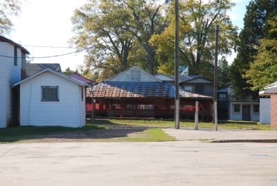
Near Heath Springs in Lancaster County, South Carolina — The American South (South Atlantic)
Mt. Carmel Campground
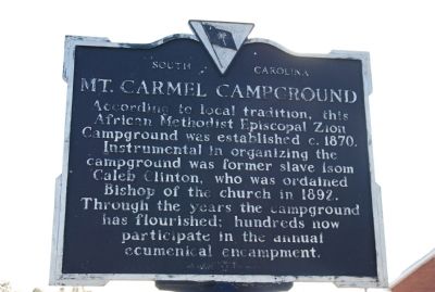
(side 1)
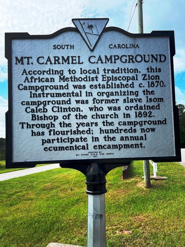
According to local tradition, this African Methodist Episcopal Zion Campground was established c.1870. Instrumental in organizing the campground was former slave Isom Caleb Clinton, who was ordained Bishop of the church in 1892. Through the years the campground has flourished; hundreds now participate in the annual ecumenical encampment.
(side 2)
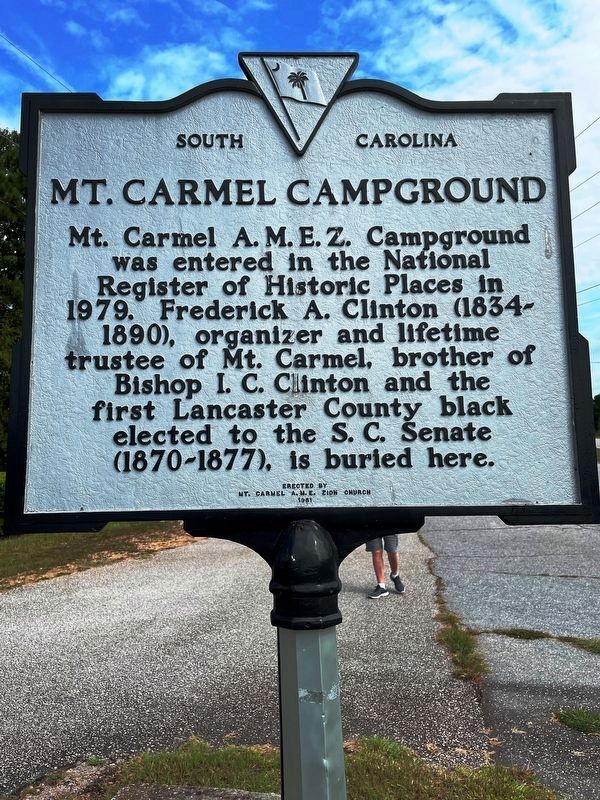
Mt. Carmel A.M.E.Z. Campground was entered in the National Register of Historic Places in 1979. Frederick A. Clinton (1834-1890), organizer and lifetime trustee of Mt. Carmel, brother of Bishop I. C. Clinton and the first Lancaster County black elected to the S.C. Senate (1870-1877), is buried here.
Erected 1981 by Mt. Carmel A.M.E. Zion Church. (Marker Number 29-13.)
Topics and series. This historical marker is listed in these topic lists: African Americans • Churches & Religion. In addition, it is included in the African Methodist Episcopal Zion (AME Zion) Church series list. A significant historical year for this entry is 1870.
Location. 34° 35.813′ N, 80° 46.674′ W. Marker is near Heath Springs, South Carolina, in Lancaster County. Marker is on Mt Carmel Road, 0.2 miles south of Bayspring Road, on the right when traveling south. Touch for map . Marker is at or near this postal address: 4336 Mt Carmel Rd, Heath Springs SC 29058, United States of America. Touch for directions.
Other nearby markers. At least 8 other markers are within 7 miles of this marker, measured as the crow flies. Birthplace of James Marion Sims, M.D. (approx. 3˝ miles away); Stoneboro (approx. 4.6 miles away); Camp Creek Methodist Church (approx. 4.6 miles away); Warrenton Muster Ground (approx. 5.3 miles away); Birthplace of Dr. James Marion Sims (approx. 5.4 miles away); Battle of Hanging Rock (approx. 5.9 miles away); James Ingram Home (approx. 6.4 miles away); The Battle Of The Hanging Rock (approx. 7 miles away). Touch for a list and map of all markers in Heath Springs.
Photographed By Michael Sean Nix, October 28, 2009
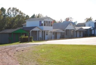
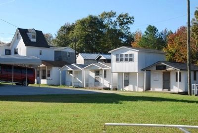
4. Tents
Tents are usually one room structures used primarily for sleeping during the sometimes week long meetings held by the church on the campgrounds. The meetings are mostly held during the harvest season. The tents are usually built by individual families that are passed down through the family. These tents are similar to ones found at Camp Welfare in Fairfield County.
Credits. This page was last revised on November 3, 2023. It was originally submitted on October 31, 2009, by Michael Sean Nix of Spartanburg, South Carolina. This page has been viewed 1,943 times since then and 47 times this year. Last updated on November 2, 2023, by Ronald Patton of Lancaster, South Carolina. Photos: 1, 2. submitted on September 4, 2023, by Ronald Patton of Lancaster, South Carolina. 3, 4, 5, 6, 7. submitted on October 31, 2009, by Michael Sean Nix of Spartanburg, South Carolina. • Bernard Fisher was the editor who published this page.
