Charleston in Kanawha County, West Virginia — The American South (Appalachia)
Kanawha County Public Library
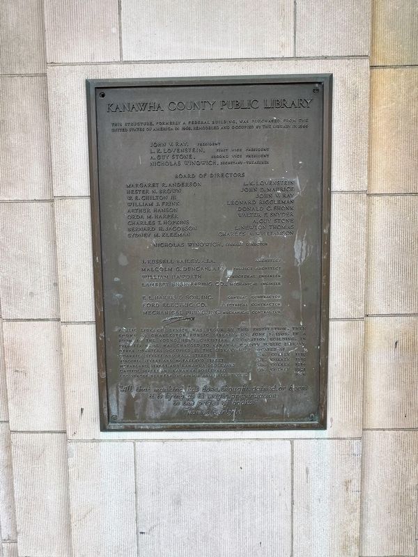
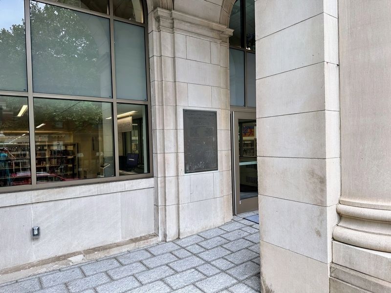
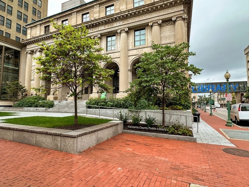
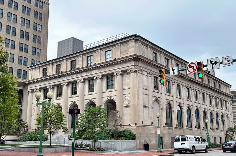
This structure, formerly a federal building, was purchased from the United States of America in 1965, remodeled and occupied by the library in 1966
Public library service was begun by this institution, then known as Charleston Public Library, on June 3, 1909. In a room in the Young Men's Christian Association building. In 1934 its name was changed to Kanawha County Public Library. Other quarters occupied by the library were located at
Quarrier Street and Hale Street S.W. corner 1912
Virginia Street and McFarland Street N.E. corner 1913
McFarland Street and Kanawha Boulevard N.W. corner 1914
Capitol Street and Kanawha Boulevard S.W. corner 1921
Lee Street between Dickinson and Hale Streets 1926
"All that mankind has done, thought, gained, or been: it is lying as in magic preservation in the pages of books."-Thomas Carlyle
Topics. This historical marker is listed in this topic list: Notable Buildings. A significant historical date for this entry is June 3, 1909.
Location. 38° 20.986′ N, 81° 38.122′ W. Marker is in Charleston, West Virginia, in Kanawha County. Marker is at the intersection of Capitol Street and Quarrier Street, on the right when traveling south on Capitol Street. Touch for map. Marker is at or near this postal address: 123 Capitol Street, Charleston WV 25301, United States of America. Touch for directions.
Other nearby markers. At least 8 other markers are within walking distance of this marker. State Capitol Annex (within shouting distance of this marker); South Side Bridge (about 600 feet away, measured in a direct line); World War II Memorial (about 700 feet away); State Capitol (about 700 feet away); World War I Memorial (about 700 feet away); a different marker also named State Capitol (about 700 feet away); The New Deal In Your Community (about 800 feet away); Kanawha United Presbyterian Church (approx. 0.2 miles away). Touch for a list and map of all markers in Charleston.
Credits. This page was last revised on January 30, 2024. It was originally submitted on January 12, 2024, by J.T. Lambrou of New Boston, Michigan. This page has been viewed 49 times since then. Photos: 1, 2, 3, 4. submitted on January 12, 2024, by J.T. Lambrou of New Boston, Michigan. • Bill Pfingsten was the editor who published this page.


