Lexington in Lexington County, South Carolina — The American South (South Atlantic)
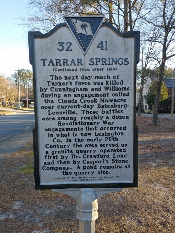
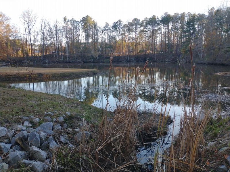
Tarrar Springs
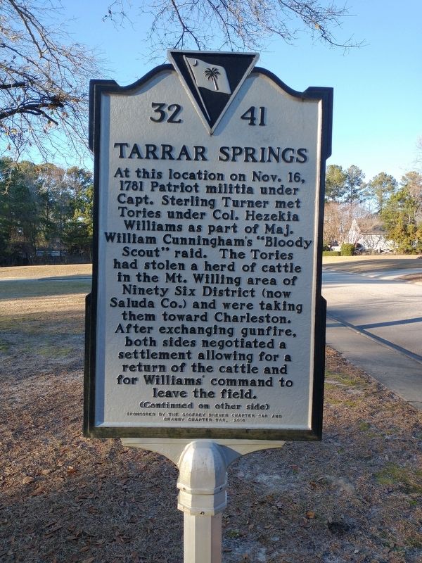
At this location on Nov. 16, 1781 Patriot militia under Capt. Sterling Turner met Tories under Col. Hezekia Williams as part of Maj. William Cunningham’s “Bloody Scout” raid. The Tories had stolen a herd of cattle in the Mt. Willing area of Ninety Six District (now Saluda Co.) and were taking them toward Charleston. After exchanging gunfire, both sides negotiated a settlement allowing for a return of the cattle and for Williams’ command to leave the field.
Erected 2016 by Sponsored by the Godfrey Dreher Chapter SAR and Granby Chapter DAR. (Marker Number 32 41.)
Topics. This historical marker is listed in these topic lists: Industry & Commerce • War, US Revolutionary. A significant historical date for this entry is November 16, 1781.
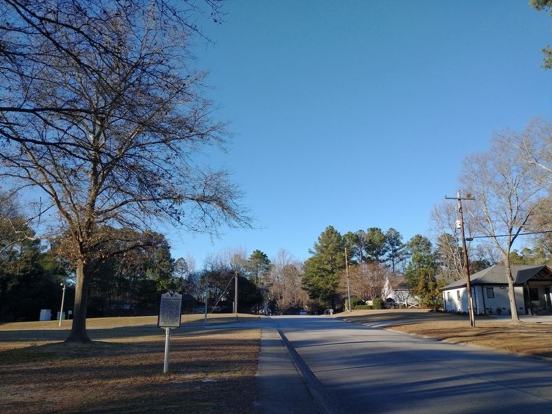
Location. 33° 58.643′ N, 81° 12.637′ W. Marker is in Lexington, South Carolina, in Lexington County. Marker is on Tarrar Springs Road, 0.1 miles north of Augusta Road (U.S. 1), on the left when traveling north. Touch for map. Marker is in this post office area: Lexington SC 29072, United States of America. Touch for directions.
Other nearby markers. At least 8 other markers are within 2 miles of this marker, measured as the crow flies. Lexington Baptist Church (approx. 1.3 miles away); Lexington County Confederate Monument (approx. 1˝ miles away); Lexington County World War I Monument (approx. 1˝ miles away); Lexington Courthouses (approx. 1˝ miles away); Lexington County Veterans Monument (approx. 1˝ miles away); Old Time Religion (approx. 1˝ miles away); St. Stephen's Church (approx. 1˝ miles away); Tomb of Dr. E.L. Hazelius (approx. 1.6 miles away). Touch for a list and map of all markers in Lexington.
Credits. This page was last revised on January 14, 2024. It was originally submitted on January 12, 2024, by Tom Bosse of Jefferson City, Tennessee. This page has been viewed 77 times since then. Photos: 1, 2, 3, 4, 5. submitted on January 12, 2024, by Tom Bosse of Jefferson City, Tennessee. • Bernard Fisher was the editor who published this page.
