Thornbury Township near West Chester in Chester County, Pennsylvania — The American Northeast (Mid-Atlantic)
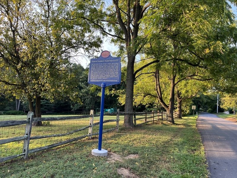
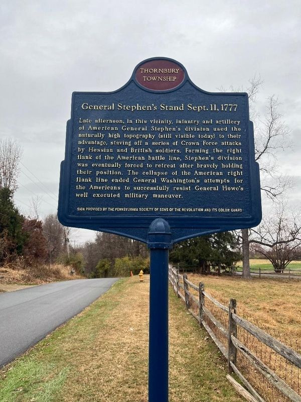
General Stephen's Stand Sept. 11, 1777
Thornbury Township
Erected by The Pennsylvania Society of Sons of the American Revolution and Its Color Guard.
Topics and series. This historical marker is listed in these topic lists: Patriots & Patriotism • War, US Revolutionary. In addition, it is included in the Sons of the American Revolution (SAR) series list.
Location. 39° 54.503′ N, 75° 35.411′ W. Marker is near West Chester, Pennsylvania, in Chester County. It is in Thornbury Township. Marker is on Thornbury Road, 0.2 miles south of New Road, on the left when traveling south. Touch for map. Marker is at or near this postal address: 1256 Thornbury Rd, West Chester PA 19382, United States of America. Touch for directions.
Other nearby markers. At least 8 other markers are within walking distance of this marker . In Memory of Those Who Fell (approx. ¼ mile away); The Peace Garden at Birmingham (approx. ¼ mile away); Gen's Lafayette and Pulaski (approx. ¼ mile away); First Defense Line (approx. 0.3 miles away); On This Native Stone (approx. 0.3 miles away); The Friends School at Birmingham Meeting House (approx. 0.3 miles away); Birmingham Friends Meeting House (approx. 0.3 miles away); Crisis on the Field of Battle, Sept. 11, 1777 (approx. 0.3 miles away). Touch for a list and map of all markers in West Chester.

Photographed By Devry Becker Jones (CC0), September 4, 2022
2. General Stephen's Stand Sept. 11, 1777 Marker
Credits. This page was last revised on February 26, 2024. It was originally submitted on September 7, 2022, by Devry Becker Jones of Washington, District of Columbia. This page has been viewed 174 times since then and 45 times this year. Last updated on January 14, 2024, by Keith S Smith of West Chester, Pennsylvania. Photos: 1. submitted on January 14, 2024, by Keith S Smith of West Chester, Pennsylvania. 2. submitted on September 7, 2022, by Devry Becker Jones of Washington, District of Columbia.
