Mission in Hidalgo County, Texas — The American South (West South Central)
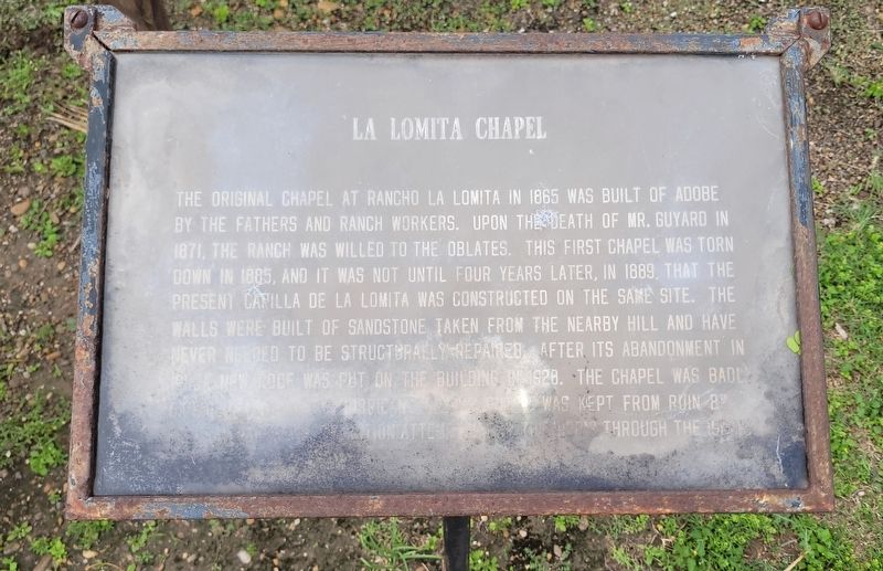
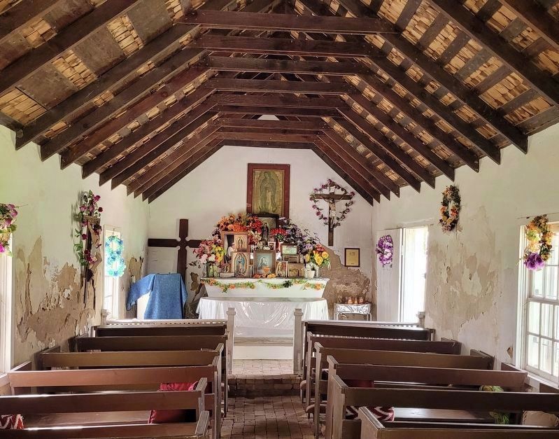
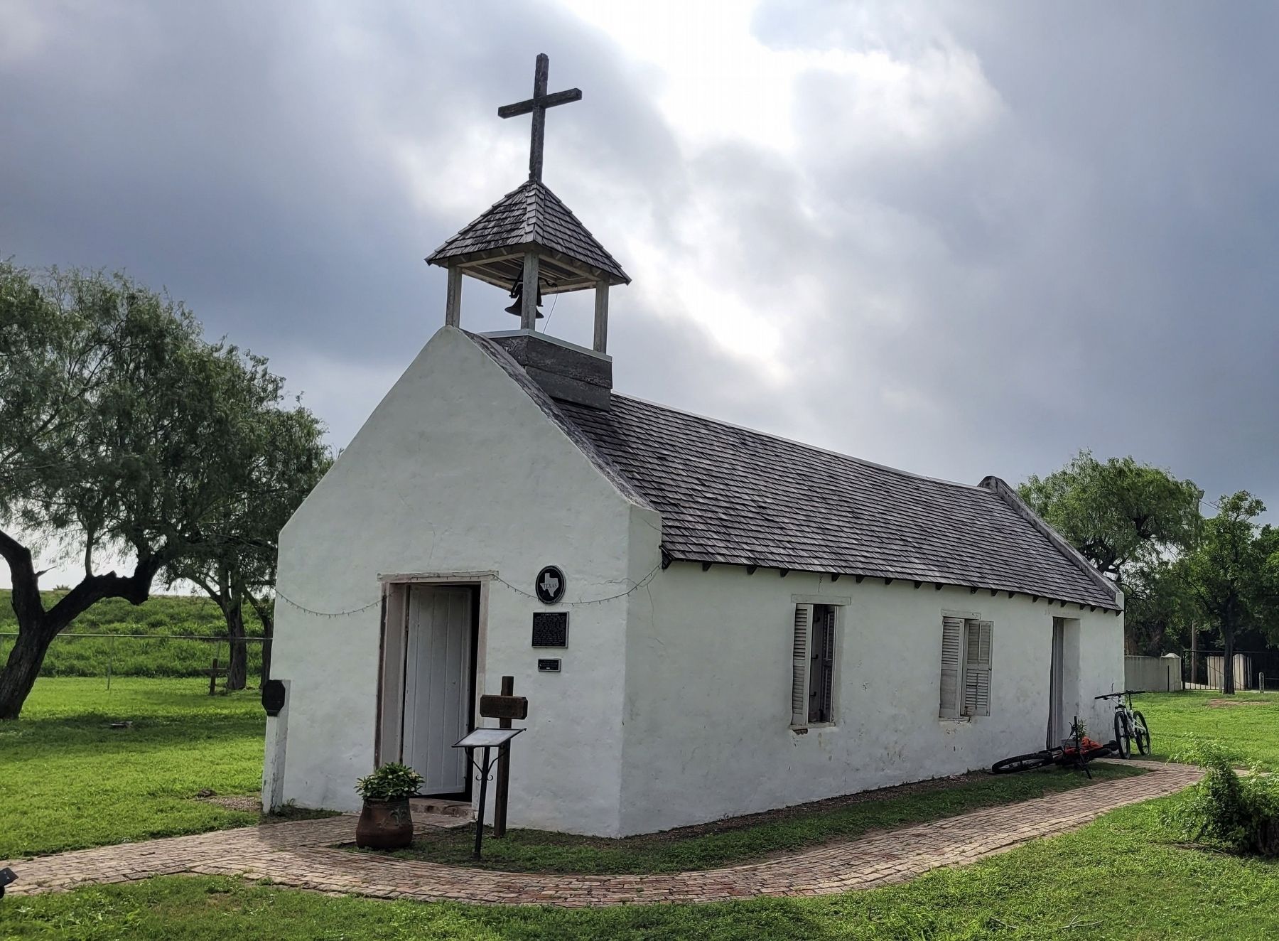
La Lomita Chapel
Erected by La Lomita Historical Park.
Topics. This historical marker is listed in this topic list: Churches & Religion. A significant historical year for this entry is 1865.
Location. 26° 9.474′ N, 98° 19.837′ W. Marker is in Mission, Texas, in Hidalgo County. Marker is at the intersection of Levee Road and County Road 2842 on Levee Road. Touch for map. Marker is in this post office area: Mission TX 78572, United States of America. Touch for directions.
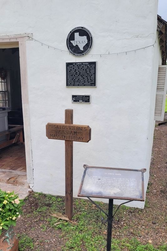
Other nearby markers. At least 8 other markers are within 3 miles of this marker, measured as the crow flies. A different marker also named La Lomita Chapel (here, next to this marker); Guest House (a few steps from this marker); Capilla de la Lomita (within shouting distance of this marker); Virgin Mary (within shouting distance of this marker); Ranch Headquarters (within shouting distance of this marker); Juan Davis Bradburn (within shouting distance of this marker); Chimney Park (approx. 0.6 miles away); El Granjeno Cemetery (approx. 2.2 miles away). Touch for a list and map of all markers in Mission.
More about this marker. Parts of the bottom portion of the marker have been damaged over time and is not legible.
Also see . . . La Lomita Mission. Texas State Historical Association (TSHA)
La Lomita ("little hill") is a small hill and the adjoining historical site of a former mission and ranch headquarters maintained by the Oblates of Mary Immaculate. It is located off Farm Road 1016 near the Rio Grande five miles south of Mission in southwestern Hidalgo County. The property comprised two Spanish land grants, or porciones, awarded in 1767. The little hill is on the western edge of Porción 57, which thus became known as the La Lomita grant. The adjoining historical site is on the eastern edge of the neighboring Porción 56.(Submitted on January 23, 2024, by James Hulse of Medina, Texas.)
Credits. This page was last revised on January 23, 2024. It was originally submitted on January 23, 2024, by James Hulse of Medina, Texas. This page has been viewed 58 times since then. Photos: 1, 2, 3, 4. submitted on January 23, 2024, by James Hulse of Medina, Texas.


