Mountain Ranch in Calaveras County, California — The American West (Pacific Coastal)
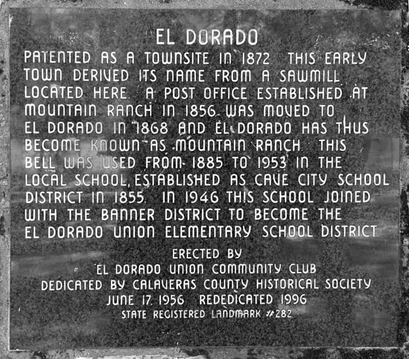
El Dorado
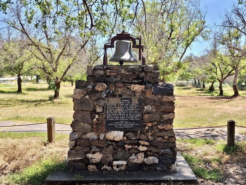
Patented as a townsite in 1872, this early town derived its name from a sawmill located here. A post office established at Mountain Ranch in 1856 was moved to El Dorado in 1868 and El Dorado has thus become known as Mountain Ranch. This bell was used from 1885 to 1953 in the local school, established as Cave City School District in 1855. In 1946 this school joined with the Banner District to become the El Dorado Union Elementary School District.
Erected by El Dorado Union Community Club. Dedicated by Calaveras County Historical Society, June 17 1956. Rededicated 1996.
State Registered Landmark #282.
Erected 1956 by El Dorado Union Community Club. (Marker Number 282.)
Topics and series. This historical marker is listed in these topic lists: Education • Settlements & Settlers. In addition, it is included in the California Historical Landmarks series list. A significant historical date for this entry is June 17, 1956.
Location. 38° 13.713′ N, 120° 32.562′ W. Marker is in Mountain Ranch, California, in Calaveras County. Marker is at the intersection of Whiskey Slide Road and Mountain Ranch Road on Whiskey Slide Road. Touch for map. Marker is at or near this postal address: 7867 Whiskey Slide Rd, Mountain Ranch CA 95246, United States of America. Touch for directions.
Other nearby markers. At least 8 other markers are within 7 miles of this marker, measured as the crow flies. California Caverns at Cave City (approx. 2.6 miles away); Sheep Ranch Mine (approx. 4.3 miles away); Sheep Ranch (approx. 4.4 miles away); Attempted Stage Robbery (approx. 4.6 miles away); The Costa Store (approx. 6.1 miles away); Calaveritas (approx. 6.2 miles away); Mercer Caverns (approx. 6.3 miles away); Calaveras County Hospital Cemetery (approx. 7 miles away).
Credits. This page was last revised on January 28, 2024. It was originally submitted on January 24, 2024, by Craig Baker of Sylmar, California. This page has been viewed 65 times since then. Photos: 1, 2. submitted on January 24, 2024, by Craig Baker of Sylmar, California.

