Rail Road Flat in Calaveras County, California — The American West (Pacific Coastal)
Rail Road Flat
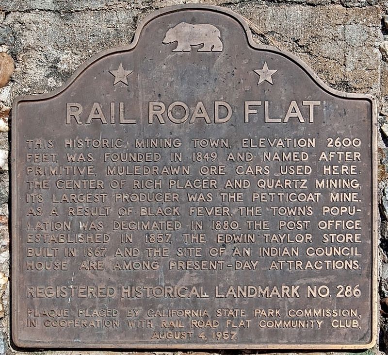
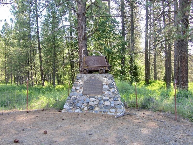
This historic mining town, elevation 2,600 feet, was founded in 1849 and named after primitive, mule-drawn ore cars used here. The center of rich placer and quartz mining, its largest producer was the Petticoat Mine. As a result of black fever, the town's population was decimated in 1880. The post office established in 1857, the Edwin Taylor store built in 1867, and the site of an Indian Council House are among the present-day attractions.
Erected 1957 by California State Park Commission, and Rail Road Flat Community Club. (Marker Number 286.)
Topics and series. This historical marker is listed in these topic lists: Industry & Commerce • Railroads & Streetcars. In addition, it is included in the California Historical Landmarks series list. A significant historical year for this entry is 1849.
Location. 38° 20.597′ N, 120° 30.729′ W. Marker is in Rail Road Flat, California, in Calaveras County. Marker is on Railroad Flat Road north of Summit Level Road, on the right when traveling north. Touch for map. Marker is at or near this postal address: 677 Railroad Flat Rd, Mokelumne Hill CA 95245, United States of America. Touch for directions.
Other nearby markers. At least 8 other markers are within 9 miles of this marker, measured as the crow flies. Sandy Gulch (approx. 2.8 miles away); West Point (approx. 3.8 miles away); Keepers of the Land! (approx. 4.1 miles away); HOSTAGE: A most painful experience of human suffering (approx. 4.2 miles away); El Dorado (approx. 8.1 miles away); Clinton (approx. 8.7 miles away); Chaw Sé Roundhouse (approx. 9 miles away); Chaw'se (approx. 9 miles away).
Additional keywords. Railroad Flat
Credits. This page was last revised on January 25, 2024. It was originally submitted on January 25, 2024, by Craig Baker of Sylmar, California. This page has been viewed 61 times since then. Photos: 1, 2. submitted on January 25, 2024, by Craig Baker of Sylmar, California.

