Eagle Pass in Maverick County, Texas — The American South (West South Central)
Maverick County
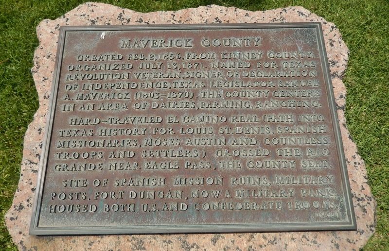
Created Feb. 2, 1856, from Kinney county. Organized July 13, 1871. Named for Texas Revolution veteran, signer of declaration of Independence, Texas Legislator Samuel A. Maverick (1803-1870). The county centers in an area of dairies, farming, ranching.
Hard-travelled El Camino Real (path into Texas History for Louis St. Denis, Spanish Missionaries, Moses Austin and countless troops and settlers) crossed the Rio Grande near Eagle Pass, the county seat.
Site of Spanish Mission ruins, military posts. Fort Duncan, now a military park, housed both U.S. and Confederate troops.
Erected 1965 by State of Texas. (Marker Number 3260.)
Topics and series. This historical marker is listed in this topic list: Notable Places. In addition, it is included in the Texas 1936 Centennial Markers and Monuments series list. A significant historical date for this entry is July 13, 1871.
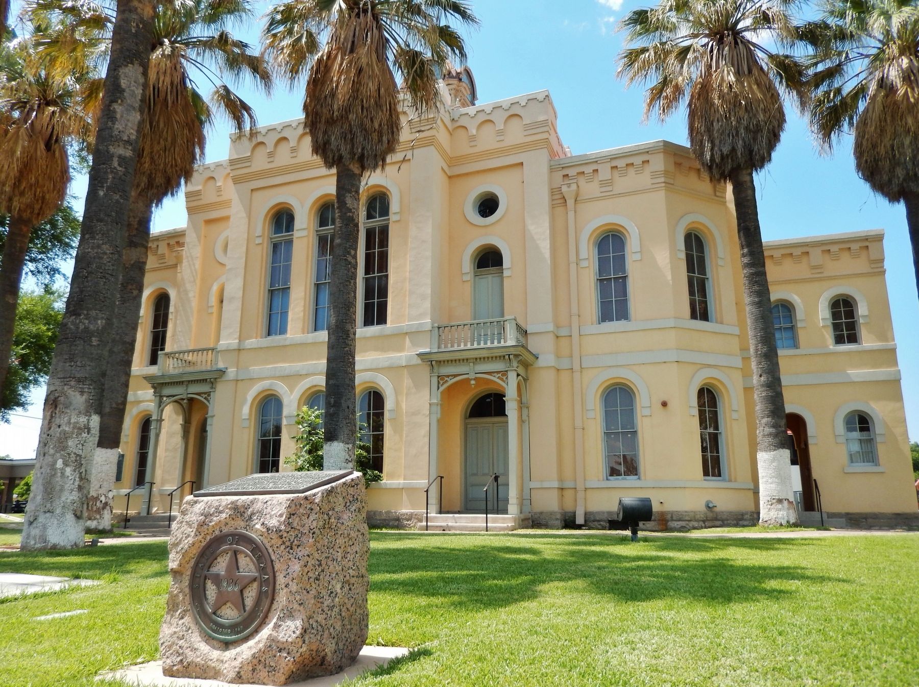
Location. 28° 42.515′ N, 100° 30.083′ W. Marker is in Eagle Pass, Texas, in Maverick County. Marker is at the intersection of Main Street (State Highway 240) and Madison Street, on the right when traveling west on Main Street. Marker is located in front of the Maverick County Courthouse. Touch for map. Marker is at or near this postal address: 501 Main Street, Eagle Pass TX 78852, United States of America. Touch for directions.
Other nearby markers. At least 7 other markers are within 4 miles of this marker, measured as the crow flies. Maverick County Courthouse (a few steps from this marker); Eagle Pass C.S.A. (within shouting distance of this marker); Eagle Pass Post Office (within shouting distance of this marker); Fort Duncan (approx. 0.4 miles away); a different marker also named Fort Duncan (approx. 0.4 miles away); Fort Duncan Infantry Barracks (approx. half a mile away); Eagle Pass Coal Mines (approx. 3.2 miles away).
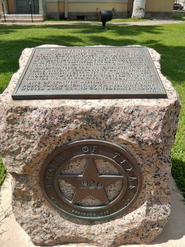
More about this marker. Marker is a brass tablet, mounted flat on top of a large pink granite pedestal
Also see . . .
1. Maverick County. Excerpt:
The earliest record of Anglo settlement in the area of Maverick County occurred in the spring of 1834, when Dr. John Charles Beales and his Dolores colonists crossed the Rio Grande near the site of present Eagle Pass. Although direct trade with Texas was forbidden by the Mexican government following the Texas Revolution, Mexican villages near the Rio Grande continued an underground trade with San Antonio by using the Pacuache Crossing of the Rio Grande and a smuggler's trail immediately north of the Camino Real.(Submitted on December 13, 2017, by Cosmos Mariner of Cape Canaveral, Florida.)
2. Samuel Augustus Maverick (Wikipedia). Excerpt:
Texas lawyer, politician, land baron and signer of the Texas Declaration of Independence. His name is the source of the term "maverick," first cited in 1867, which means "independently minded." Various accounts of the origins of the term held that Maverick came to be considered independently minded by his fellow ranchers because he refused to brand his cattle. Unbranded cattle which were not part of the herd came to be labeled "mavericks". He was the grandfather of Texas politician Maury Maverick, who coined the term gobbledygook (1944).(Submitted on January 31, 2024, by Cosmos Mariner of Cape Canaveral, Florida.)
Credits. This page was last revised on January 31, 2024. It was originally submitted on December 13, 2017, by Cosmos Mariner of Cape Canaveral, Florida. This page has been viewed 313 times since then and 44 times this year. Last updated on January 26, 2024, by Jeff Leichsenring of Garland, Texas. Photos: 1, 2, 3. submitted on December 13, 2017, by Cosmos Mariner of Cape Canaveral, Florida. • James Hulse was the editor who published this page.


